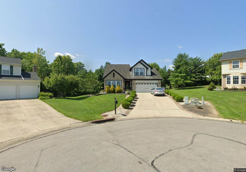
10561 Mill Farm Ct Cincinnati, OH 45231
New Burlington NeighborhoodEstimated Value: $285,000 - $324,000
3
Beds
3
Baths
1,747
Sq Ft
$176/Sq Ft
Est. Value
About This Home
This home is located at 10561 Mill Farm Ct, Cincinnati, OH 45231 and is currently estimated at $307,406, approximately $175 per square foot. 10561 Mill Farm Ct is a home located in Hamilton County with nearby schools including Mt Healthy High School, Hamilton County Mathematics and Science Academy, and Central Montessori Academy.
Ownership History
Date
Name
Owned For
Owner Type
Purchase Details
Closed on
Apr 28, 1994
Sold by
The Ryland Group Inc
Bought by
Houser Ronald R and Houser Margret A
Current Estimated Value
Home Financials for this Owner
Home Financials are based on the most recent Mortgage that was taken out on this home.
Original Mortgage
$106,000
Interest Rate
7.84%
Purchase Details
Closed on
Jan 28, 1994
Sold by
Paul Brothers Construction Company
Bought by
The Ryland Group
Create a Home Valuation Report for This Property
The Home Valuation Report is an in-depth analysis detailing your home's value as well as a comparison with similar homes in the area
Home Values in the Area
Average Home Value in this Area
Purchase History
| Date | Buyer | Sale Price | Title Company |
|---|---|---|---|
| Houser Ronald R | -- | -- | |
| The Ryland Group | -- | -- |
Source: Public Records
Mortgage History
| Date | Status | Borrower | Loan Amount |
|---|---|---|---|
| Previous Owner | Houser Ronald R | $106,000 |
Source: Public Records
Tax History
| Year | Tax Paid | Tax Assessment Tax Assessment Total Assessment is a certain percentage of the fair market value that is determined by local assessors to be the total taxable value of land and additions on the property. | Land | Improvement |
|---|---|---|---|---|
| 2025 | $4,268 | $82,338 | $12,929 | $69,409 |
| 2023 | $4,070 | $82,338 | $12,929 | $69,409 |
| 2022 | $4,542 | $67,687 | $12,597 | $55,090 |
| 2021 | $4,408 | $67,687 | $12,597 | $55,090 |
| 2020 | $4,492 | $67,687 | $12,597 | $55,090 |
| 2019 | $3,641 | $53,298 | $9,919 | $43,379 |
| 2018 | $3,589 | $53,298 | $9,919 | $43,379 |
| 2017 | $3,396 | $53,298 | $9,919 | $43,379 |
| 2016 | $3,177 | $49,953 | $9,412 | $40,541 |
| 2015 | $3,213 | $49,953 | $9,412 | $40,541 |
| 2014 | $3,199 | $49,953 | $9,412 | $40,541 |
| 2013 | $3,508 | $54,895 | $10,343 | $44,552 |
Source: Public Records
Map
Nearby Homes
- 10453 Mill Rd
- 10493 Mill Rd
- 1858 Aspenhill Dr
- 1887 Lotushill Dr
- 10228 Springbeauty Ln
- 1854 Windmill Way
- 1931 Lotushill Dr
- 1958 Bluehill Dr
- 10908 Tangleberry Ct
- 2071 Roosevelt Ave
- 10945 Crystalhill Ct
- 2192 Pinney Ln
- 23 Briarwood Ln
- 1805 Miles Rd
- 9883 Overview Ln
- 624 Brightview Dr
- 626 Brightview Dr
- 606 Brightview Dr
- 610 Brightview Dr
- 622 Brightview Dr
- 10560 Mill Farm Ct
- 10563 Mill Farm Ct
- 10572 Farm Hill Ct
- 1712 Mill Spring Ct
- 1712 Millspring Ct
- 10569 Mill Farm Ct
- 1704 Mill Spring Ct
- 10564 Mill Farm Ct
- 1720 Mill Spring Ct
- 10576 Farm Hill Ct
- 1720 Millspring Ct
- 1704 Millspring Ct
- 10570 Farm Hill Ct
- 10568 Mill Farm Ct
- 10581 Mill Farm Ct
- 1728 Mill Spring Ct
- 10584 Farm Hill Ct
- 10574 Mill Farm Ct
- 10571 Farm Hill Ct
- 1736 Mill Spring Ct
Your Personal Tour Guide
Ask me questions while you tour the home.