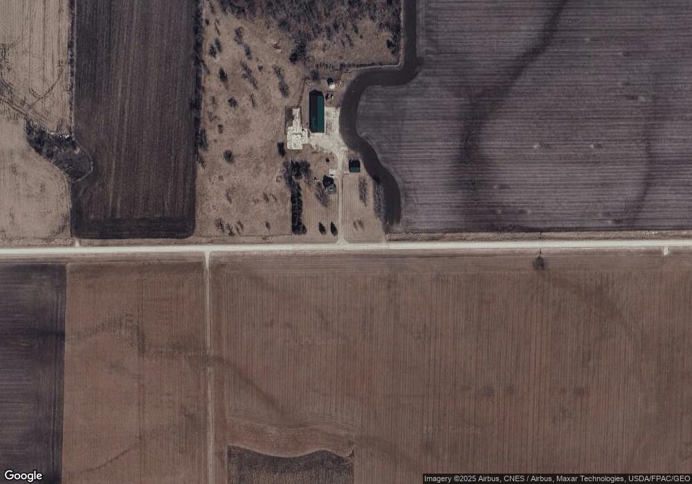
10569 236th St Spring Valley, MN 55975
Estimated Value: $429,720 - $475,000
4
Beds
1
Bath
1,632
Sq Ft
$277/Sq Ft
Est. Value
About This Home
This home is located at 10569 236th St, Spring Valley, MN 55975 and is currently estimated at $452,360, approximately $277 per square foot. 10569 236th St is a home with nearby schools including Kingsland Elementary School, Kingsland Middle School, and Kingsland Junior/Senior High School.
Ownership History
Date
Name
Owned For
Owner Type
Purchase Details
Closed on
Apr 29, 2011
Sold by
Howard Julie A
Bought by
Howard Timothy
Current Estimated Value
Home Financials for this Owner
Home Financials are based on the most recent Mortgage that was taken out on this home.
Original Mortgage
$190,000
Interest Rate
4.88%
Mortgage Type
New Conventional
Create a Home Valuation Report for This Property
The Home Valuation Report is an in-depth analysis detailing your home's value as well as a comparison with similar homes in the area
Home Values in the Area
Average Home Value in this Area
Purchase History
| Date | Buyer | Sale Price | Title Company |
|---|---|---|---|
| Howard Timothy | $225,000 | None Available |
Source: Public Records
Mortgage History
| Date | Status | Borrower | Loan Amount |
|---|---|---|---|
| Closed | Howard Timothy | $190,000 |
Source: Public Records
Tax History Compared to Growth
Tax History
| Year | Tax Paid | Tax Assessment Tax Assessment Total Assessment is a certain percentage of the fair market value that is determined by local assessors to be the total taxable value of land and additions on the property. | Land | Improvement |
|---|---|---|---|---|
| 2025 | $1,326 | $428,100 | $162,400 | $265,700 |
| 2024 | $1,326 | $318,300 | $128,100 | $190,200 |
| 2023 | $1,112 | $318,300 | $128,100 | $190,200 |
| 2022 | $1,112 | $334,100 | $148,900 | $185,200 |
| 2021 | $1,112 | $277,200 | $126,700 | $150,500 |
| 2020 | $1,126 | $277,200 | $126,700 | $150,500 |
| 2019 | $908 | $280,700 | $121,000 | $159,700 |
| 2018 | $776 | $280,700 | $121,000 | $159,700 |
| 2017 | -- | $256,100 | $111,700 | $144,400 |
| 2016 | $874 | $242,400 | $98,000 | $144,400 |
| 2015 | $1,722 | $238,800 | $105,898 | $132,902 |
| 2014 | $1,722 | $188,000 | $104,498 | $83,502 |
| 2013 | $1,722 | $195,600 | $107,068 | $88,532 |
Source: Public Records
Map
Nearby Homes
- XXX Sata Dr
- 528 N Broadway St
- 712 Memorial Dr
- 313 N Hudson Ave
- 709 Mlinar Ave
- 517 Warren Ave
- 113 E Fairview St
- 213 W Fremont St
- 321 N Section Ave
- 409 Center Ave
- 700 S Section Ave
- XXX 256th St
- 505 E Farmer St
- xxx 265th St
- 79275 267th St
- xxx Highway 63
- 12 Pine Ave SE
- TBD Harrison Ave NE
- 504 Minnesota St
- Block 2 Lot 6 Glynn Ave SE
- 10567 236th St
- 10281 236th St
- 11019 236th St
- xxxx 111th Ave
- 23557 111th Ave
- 11231 236th St
- 24235 111th Ave
- 10442 State Highway 16
- 10442 State Highway 16
- 10442 State Highway 16
- 10442 State Highway 16
- 10442 State Highway 16
- 10442 State Highway 16
- 10442 State Highway 16
- 10442 State Highway 16
- 10442 State Highway 16
- 10442 State Highway 16
- 10254 State Highway 16
- 10340 State Highway 16
- 10455 State Highway 16