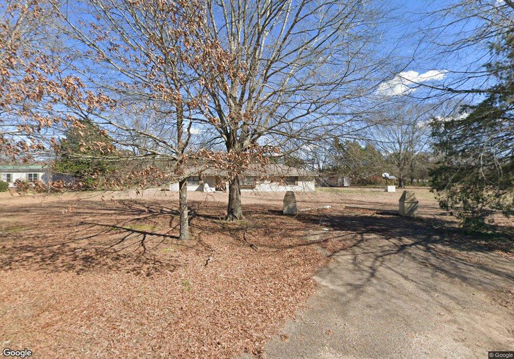
1057 Beersheba Rd Columbus, MS 39702
Estimated Value: $226,336 - $267,000
Studio
1
Bath
2,651
Sq Ft
$95/Sq Ft
Est. Value
About This Home
This home is located at 1057 Beersheba Rd, Columbus, MS 39702 and is currently estimated at $251,834, approximately $94 per square foot. 1057 Beersheba Rd is a home.
Ownership History
Date
Name
Owned For
Owner Type
Purchase Details
Closed on
Sep 16, 2013
Sold by
Cottonwood Flats Llc
Bought by
Thomas Gary
Current Estimated Value
Home Financials for this Owner
Home Financials are based on the most recent Mortgage that was taken out on this home.
Original Mortgage
$141,391
Outstanding Balance
$105,063
Interest Rate
4.37%
Mortgage Type
FHA
Estimated Equity
$146,771
Purchase Details
Closed on
Jul 15, 2005
Sold by
Dwyer Raymond S
Bought by
Williams Lee Edward and Williams Kristy Michelle
Home Financials for this Owner
Home Financials are based on the most recent Mortgage that was taken out on this home.
Original Mortgage
$73,340
Interest Rate
5.59%
Create a Home Valuation Report for This Property
The Home Valuation Report is an in-depth analysis detailing your home's value as well as a comparison with similar homes in the area
Purchase History
| Date | Buyer | Sale Price | Title Company |
|---|---|---|---|
| Thomas Gary | -- | -- | |
| Williams Lee Edward | -- | -- |
Source: Public Records
Mortgage History
| Date | Status | Borrower | Loan Amount |
|---|---|---|---|
| Open | Thomas Gary | $141,391 | |
| Previous Owner | Williams Lee Edward | $73,340 |
Source: Public Records
Tax History
| Year | Tax Paid | Tax Assessment Tax Assessment Total Assessment is a certain percentage of the fair market value that is determined by local assessors to be the total taxable value of land and additions on the property. | Land | Improvement |
|---|---|---|---|---|
| 2025 | $724 | $10,468 | $0 | $0 |
| 2024 | $716 | $10,468 | $0 | $0 |
| 2023 | $521 | $8,497 | $0 | $0 |
| 2022 | $433 | $7,583 | $0 | $0 |
| 2021 | $406 | $7,583 | $0 | $0 |
| 2020 | $367 | $7,583 | $0 | $0 |
| 2019 | $507 | $8,876 | $0 | $0 |
| 2018 | $507 | $8,875 | $0 | $0 |
| 2017 | $471 | $8,890 | $0 | $0 |
| 2016 | $471 | $8,890 | $0 | $0 |
| 2015 | $505 | $9,278 | $0 | $0 |
| 2014 | $505 | $9,278 | $0 | $0 |
Source: Public Records
Map
Nearby Homes
- 83 Bowling Green Cir
- Lot 3 Lost Lake Hills Rd
- 0 Lost Lake Hills Rd
- 127 E Cherry St
- 2746 Phillips Hill Rd
- 220 Woodridge Place
- 364 Pinewood Dr
- 291 Muddy Ln
- 72 N Colby Ln
- 72 Colby Ln
- 248 Lakeover Dr W
- 142 Lenox Ln
- 159 Lenox Ln
- 2362 Tabernacle Rd
- 29 Lenox Ln
- 262 Center Rd
- 17 Paige Cove
- 178 Rogers Way
- 0 Hwy Us-82
- 338 Rogers Way
- 1636 Mac Davis Rd
- 1653 Mac Davis Rd
- 1115 Beersheba Rd
- 1624 Mac Davis Rd
- 1003 Beersheba Rd
- 1631 Mac Davis Rd
- 1122 Beersheba Rd
- 1604 Mac Davis Rd
- 1012 Beersheba Rd
- 1143 Beersheba Rd
- 1456 Ben Christopher Rd
- 955 Beersheba Rd
- 1138 Beersheba Rd
- 969 Beersheba Rd
- 1452 Ben Christopher Rd
- 1165 Beersheba Rd
- 1580 Mac Davis Rd
- 1430 Ben Christopher Rd
- 914 Beersheba Rd
- 1557 Mac Davis Rd
Your Personal Tour Guide
Ask me questions while you tour the home.