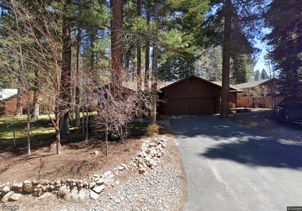
10577 Royal Crest Truckee, CA 96161
Glenshire-Devonshire NeighborhoodEstimated Value: $843,000 - $963,000
3
Beds
2
Baths
1,885
Sq Ft
$475/Sq Ft
Est. Value
About This Home
This home is located at 10577 Royal Crest, Truckee, CA 96161 and is currently estimated at $894,667, approximately $474 per square foot. 10577 Royal Crest is a home located in Nevada County with nearby schools including Glenshire Elementary School, Alder Creek Middle School, and Tahoe Truckee High School.
Ownership History
Date
Name
Owned For
Owner Type
Purchase Details
Closed on
Jan 8, 2018
Sold by
Nunez Randy O and Nunez Melody
Bought by
Nunez Randy O and Nunez Melody
Current Estimated Value
Home Financials for this Owner
Home Financials are based on the most recent Mortgage that was taken out on this home.
Original Mortgage
$289,955
Interest Rate
3.93%
Mortgage Type
New Conventional
Purchase Details
Closed on
Nov 8, 2017
Sold by
Nunez Randy O and Nunez Melody
Bought by
Nunez Randy O and Nunez Melody
Create a Home Valuation Report for This Property
The Home Valuation Report is an in-depth analysis detailing your home's value as well as a comparison with similar homes in the area
Home Values in the Area
Average Home Value in this Area
Purchase History
| Date | Buyer | Sale Price | Title Company |
|---|---|---|---|
| Nunez Randy O | -- | None Available | |
| Nunez Randy O | -- | None Available | |
| Nunez Randy O | -- | None Available | |
| Nunez Randy O | -- | None Available |
Source: Public Records
Mortgage History
| Date | Status | Borrower | Loan Amount |
|---|---|---|---|
| Closed | Nunez Randy O | $289,955 |
Source: Public Records
Tax History
| Year | Tax Paid | Tax Assessment Tax Assessment Total Assessment is a certain percentage of the fair market value that is determined by local assessors to be the total taxable value of land and additions on the property. | Land | Improvement |
|---|---|---|---|---|
| 2025 | $4,720 | $287,203 | $49,655 | $237,548 |
| 2024 | $4,621 | $281,573 | $48,682 | $232,891 |
| 2023 | $4,621 | $276,053 | $47,728 | $228,325 |
| 2022 | $4,487 | $270,642 | $46,793 | $223,849 |
| 2021 | $4,202 | $265,336 | $45,876 | $219,460 |
| 2020 | $4,157 | $262,616 | $45,406 | $217,210 |
| 2019 | $4,121 | $257,467 | $44,516 | $212,951 |
| 2018 | $3,614 | $252,420 | $43,644 | $208,776 |
| 2017 | $3,504 | $247,472 | $42,789 | $204,683 |
| 2016 | $3,463 | $242,620 | $41,950 | $200,670 |
| 2015 | $3,469 | $246,224 | $41,320 | $204,904 |
| 2014 | $3,469 | $242,491 | $40,511 | $201,980 |
Source: Public Records
Map
Nearby Homes
- 10577 Stuart Staithe
- 15434 Donnington Ln
- 15318 Glenshire Dr
- 15031 Glenshire Dr
- 15411 Kent Dr
- 15627 Sudsbury Cir
- 10390 Manchester Dr
- 15664 Sherwood Dr
- 13035 Glenshire Dr
- 000 Glenshire Dr
- 16029 Glenshire Dr
- 10554 Courtenay Ln
- 10536 Courtenay Ln
- 10646 Tudor Ln
- 10583 Laburnham Cir
- 16332 Havern Hill Ct
- 10797 Regency Cir
- 10718 Regency Cir
- 10794 Regency Cir
- 10719 Regency Cir
- 10601 Royal Crest
- 10553 Royal Crest
- 10578 Royal Crest
- 15120 Cavalier Rise
- 10578 Royal Crest Dr
- 10625 Royal Crest
- 10588 Royal Crest Unit 3
- 10527 Royal Crest
- 10554 Royal Crest
- 10527 Royal Crest Dr
- 10482 Powder Horn Ln
- 10602 Royal Crest
- 10541 Saxon Way
- 10503 Royal Crest Unit 3
- 10563 Saxon Way
- 10519 Saxon Way
- 10503 Royal Crest Dr
- 10817 Royal Crest Dr
- Lot-22 Royal Crest Dr
- 10585 Saxon Way
Your Personal Tour Guide
Ask me questions while you tour the home.