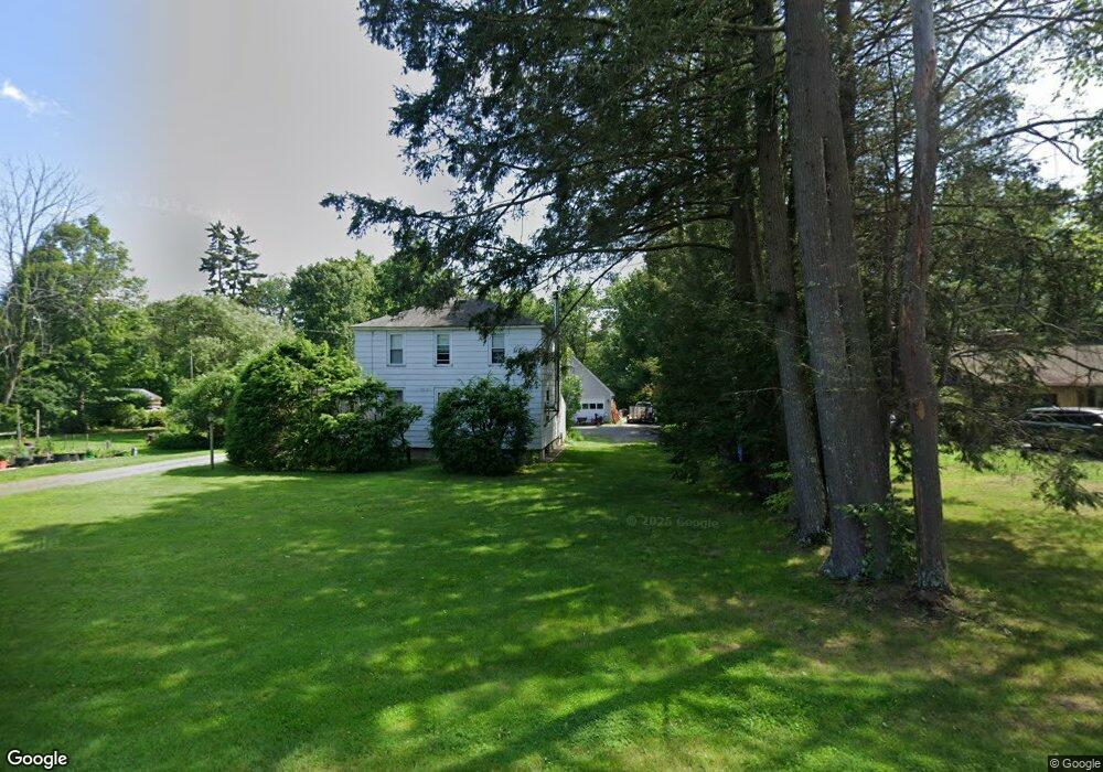
106 Barton Rd Greenfield, MA 01301
Estimated Value: $294,021 - $342,000
2
Beds
1
Bath
1,144
Sq Ft
$274/Sq Ft
Est. Value
About This Home
This home is located at 106 Barton Rd, Greenfield, MA 01301 and is currently estimated at $313,255, approximately $273 per square foot. 106 Barton Rd is a home located in Franklin County with nearby schools including Greenfield Center School.
Ownership History
Date
Name
Owned For
Owner Type
Purchase Details
Closed on
Mar 10, 2000
Sold by
Morse Karen S
Bought by
Bilidouris David A
Current Estimated Value
Purchase Details
Closed on
Mar 8, 1991
Sold by
Ada Mae Dobias Estate
Bought by
Beliouris David A
Home Financials for this Owner
Home Financials are based on the most recent Mortgage that was taken out on this home.
Original Mortgage
$61,000
Interest Rate
9.51%
Mortgage Type
Purchase Money Mortgage
Create a Home Valuation Report for This Property
The Home Valuation Report is an in-depth analysis detailing your home's value as well as a comparison with similar homes in the area
Home Values in the Area
Average Home Value in this Area
Purchase History
| Date | Buyer | Sale Price | Title Company |
|---|---|---|---|
| Bilidouris David A | $25,000 | -- | |
| Bilidouris David A | $25,000 | -- | |
| Beliouris David A | $77,000 | -- | |
| Beliouris David A | $77,000 | -- |
Source: Public Records
Mortgage History
| Date | Status | Borrower | Loan Amount |
|---|---|---|---|
| Previous Owner | Beliouris David A | $61,000 |
Source: Public Records
Tax History
| Year | Tax Paid | Tax Assessment Tax Assessment Total Assessment is a certain percentage of the fair market value that is determined by local assessors to be the total taxable value of land and additions on the property. | Land | Improvement |
|---|---|---|---|---|
| 2025 | $4,507 | $230,400 | $89,900 | $140,500 |
| 2024 | $4,423 | $216,900 | $76,900 | $140,000 |
| 2023 | $4,026 | $204,900 | $76,900 | $128,000 |
| 2022 | $4,198 | $188,100 | $77,400 | $110,700 |
| 2021 | $4,231 | $182,200 | $81,400 | $100,800 |
| 2020 | $4,104 | $179,000 | $81,400 | $97,600 |
| 2019 | $3,794 | $169,700 | $71,800 | $97,900 |
| 2018 | $3,755 | $167,400 | $70,600 | $96,800 |
| 2017 | $3,638 | $167,400 | $70,600 | $96,800 |
| 2016 | $3,649 | $167,300 | $70,600 | $96,700 |
| 2015 | $3,642 | $161,800 | $72,200 | $89,600 |
| 2014 | $3,254 | $158,500 | $68,700 | $89,800 |
Source: Public Records
Map
Nearby Homes
- 25 Barton Rd
- 34 Brookside Ave
- 9 Hancock Ln
- 151 Smead Hill Rd
- 696 Bernardston Rd
- 4 Pickett Ln
- 001 Adams Rd
- 132 Poplar St
- 77 Summer St
- 714 Colrain Rd
- 18 Lillian St
- 539 Fox Hill Rd
- 75 South St Unit 3
- 47 Cross St
- 372 Federal St
- 37 Cleveland St
- 335 Federal St
- 46 Kenwood St
- 52 Canada Hill Rd
- 0 Fox Hill Rd Unit 73477185
Your Personal Tour Guide
Ask me questions while you tour the home.