106 Bobby Ln Colfax, NC 27235
Colfax NeighborhoodEstimated Value: $251,000 - $365,000
3
Beds
2
Baths
1,427
Sq Ft
$208/Sq Ft
Est. Value
About This Home
This home is located at 106 Bobby Ln, Colfax, NC 27235 and is currently estimated at $296,855, approximately $208 per square foot. 106 Bobby Ln is a home located in Guilford County with nearby schools including Colfax Elementary School, Northwest Guilford Middle School, and Northwest Guilford High School.
Ownership History
Date
Name
Owned For
Owner Type
Purchase Details
Closed on
Jan 28, 2022
Sold by
Stanley Living Trust
Bought by
Ninety 69 Llc
Current Estimated Value
Purchase Details
Closed on
May 24, 2011
Sold by
Evans Stanley Bobby Lee and Evans Stanley Cynthia
Bought by
Stanley Bobby L and Stanley Cynthia E
Purchase Details
Closed on
Jul 1, 2008
Bought by
Unknown Owner
Purchase Details
Closed on
Oct 1, 1998
Sold by
Stanley Ruby C
Bought by
Stanley Ruby C and Stanley Bobby L
Create a Home Valuation Report for This Property
The Home Valuation Report is an in-depth analysis detailing your home's value as well as a comparison with similar homes in the area
Home Values in the Area
Average Home Value in this Area
Purchase History
| Date | Buyer | Sale Price | Title Company |
|---|---|---|---|
| Ninety 69 Llc | $1,080,000 | Bell Davis & Pitt Pa | |
| Stanley Bobby L | -- | None Available | |
| Unknown Owner | -- | -- | |
| Stanley Ruby C | -- | -- |
Source: Public Records
Tax History Compared to Growth
Tax History
| Year | Tax Paid | Tax Assessment Tax Assessment Total Assessment is a certain percentage of the fair market value that is determined by local assessors to be the total taxable value of land and additions on the property. | Land | Improvement |
|---|---|---|---|---|
| 2025 | $2,363 | $168,400 | $60,000 | $108,400 |
| 2024 | $2,363 | $168,400 | $60,000 | $108,400 |
| 2023 | $2,363 | $168,400 | $60,000 | $108,400 |
| 2022 | $2,295 | $168,400 | $60,000 | $108,400 |
| 2021 | $2,064 | $148,200 | $48,000 | $100,200 |
| 2020 | $2,064 | $148,200 | $48,000 | $100,200 |
| 2019 | $2,064 | $148,200 | $0 | $0 |
| 2018 | $2,005 | $148,200 | $0 | $0 |
| 2017 | $2,020 | $148,200 | $0 | $0 |
| 2016 | $1,903 | $137,500 | $0 | $0 |
| 2015 | $1,915 | $137,500 | $0 | $0 |
| 2014 | $1,928 | $137,500 | $0 | $0 |
Source: Public Records
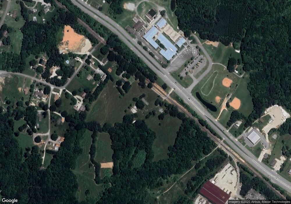
Map
Nearby Homes
- 625 Gray-Wilson Rd
- 149 Marshall Smith Rd
- 519 S Bunker Hill Rd
- 9029 Stack Rd
- TA3000 Plan at Westbrook Falls
- Advent TH Plan at Westbrook Falls - Townhomes
- Alexandria TH Plan at Westbrook Falls - Townhomes
- Hope Plan at Westbrook Falls
- Lenox Plan at Westbrook Falls
- Wakefield Plan at Westbrook Falls
- Huntley Plan at Westbrook Falls
- Wayne Plan at Westbrook Falls
- Kipling Plan at Westbrook Falls
- Winslow Plan at Westbrook Falls
- Dobson Plan at Westbrook Falls
- Devin Plan at Westbrook Falls
- Jasper Plan at Westbrook Falls
- Whitney Plan at Westbrook Falls
- Calgary Plan at Westbrook Falls
- Karver TH Plan at Westbrook Falls - Townhomes
- 105 Bobby Ln
- 114 Bobby Ln
- 9111 W Market St
- 8607 Mcguire Rd
- 8609 Mcguire Rd
- 8613 Mcguire Rd
- 8615 Mcguire Rd
- 8614 Mcguire Rd
- 9069 W Market St
- 9200 W Market St
- 8608 Mcguire Rd
- 9068 W Market St
- 9205 W Market St
- 8619 Mcguire Rd
- 9206 W Market St
- 8620 Mcguire Rd
- 8625 Mcguire Rd
- 9058 W Market Street Nc Highway 421n
- 9064 W Market St
- 9210 W Market St