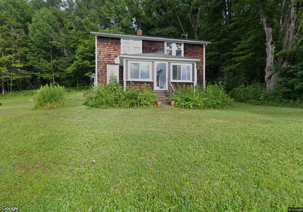
106 E Buckland Rd Shelburne Falls, MA 01370
Buckland NeighborhoodEstimated Value: $299,000 - $421,000
5
Beds
1
Bath
1,382
Sq Ft
$277/Sq Ft
Est. Value
About This Home
This home is located at 106 E Buckland Rd, Shelburne Falls, MA 01370 and is currently estimated at $382,611, approximately $276 per square foot. 106 E Buckland Rd is a home with nearby schools including Mohawk Trail Regional High School.
Ownership History
Date
Name
Owned For
Owner Type
Purchase Details
Closed on
Aug 8, 2005
Sold by
Goodnow Hazel H
Bought by
Cote Cynthia A and Cote Donald D
Current Estimated Value
Home Financials for this Owner
Home Financials are based on the most recent Mortgage that was taken out on this home.
Original Mortgage
$211,500
Outstanding Balance
$110,889
Interest Rate
5.63%
Mortgage Type
Purchase Money Mortgage
Estimated Equity
$271,722
Create a Home Valuation Report for This Property
The Home Valuation Report is an in-depth analysis detailing your home's value as well as a comparison with similar homes in the area
Home Values in the Area
Average Home Value in this Area
Purchase History
| Date | Buyer | Sale Price | Title Company |
|---|---|---|---|
| Cote Cynthia A | $235,000 | -- |
Source: Public Records
Mortgage History
| Date | Status | Borrower | Loan Amount |
|---|---|---|---|
| Open | Cote Cynthia A | $211,500 |
Source: Public Records
Tax History Compared to Growth
Tax History
| Year | Tax Paid | Tax Assessment Tax Assessment Total Assessment is a certain percentage of the fair market value that is determined by local assessors to be the total taxable value of land and additions on the property. | Land | Improvement |
|---|---|---|---|---|
| 2025 | $5,345 | $315,500 | $134,900 | $180,600 |
| 2024 | $5,324 | $303,200 | $134,900 | $168,300 |
| 2023 | $4,830 | $285,100 | $134,900 | $150,200 |
| 2022 | $4,784 | $285,100 | $134,900 | $150,200 |
| 2021 | $4,605 | $258,100 | $134,900 | $123,200 |
| 2020 | $4,578 | $247,200 | $134,900 | $112,300 |
| 2019 | $4,421 | $237,300 | $134,900 | $102,400 |
| 2018 | $4,383 | $232,500 | $134,900 | $97,600 |
| 2017 | $4,197 | $232,500 | $134,900 | $97,600 |
| 2016 | $3,444 | $203,800 | $103,800 | $100,000 |
| 2015 | $3,424 | $203,800 | $103,800 | $100,000 |
Source: Public Records
Map
Nearby Homes
- 7 Hog Hollow Rd
- 156 Ashfield Rd
- 0 Upper St
- 102 Elm St
- 33 Williams St
- 10 Deerfield Ave Unit 5
- 10 Deerfield Ave Unit 2
- 105 - 107 Bridge St
- 0 Ashfield Rd
- 2151 Route 2
- 2155 Massachusetts 2
- 31 W Oxbow Rd
- 24 W Oxbow Rd
- 143 Charlemont Rd
- 0 W Oxbow Rd Unit 73453651
- 240 Beldingville Rd
- 85 Dacey Rd
- lot 1 Shelburne Falls Rd
- 220 Hawley Rd
- 0, Lot 7 East Rd
- 118 E Buckland Rd
- 92 E Buckland Rd
- 114 E Buckland Rd
- 88 E Buckland Rd
- 118 E Buckland Rd
- 86 E Buckland Rd
- 86 E Buckland Rd
- 18 Nilman Rd
- 68 Hog Hollow Rd
- 9 Nilman Rd
- 0 Hog Hollow Rd Unit 72191005
- 1 Fred Laird Rd
- 48 Hog Hollow Rd
- 127 E Buckland Rd
- 52 Hog Hollow Rd
- 57 Hog Hollow Rd
- 32 Hog Hollow Rd
- 74 E Buckland Rd
- 79 E Buckland Rd
- 26 Nilman Rd