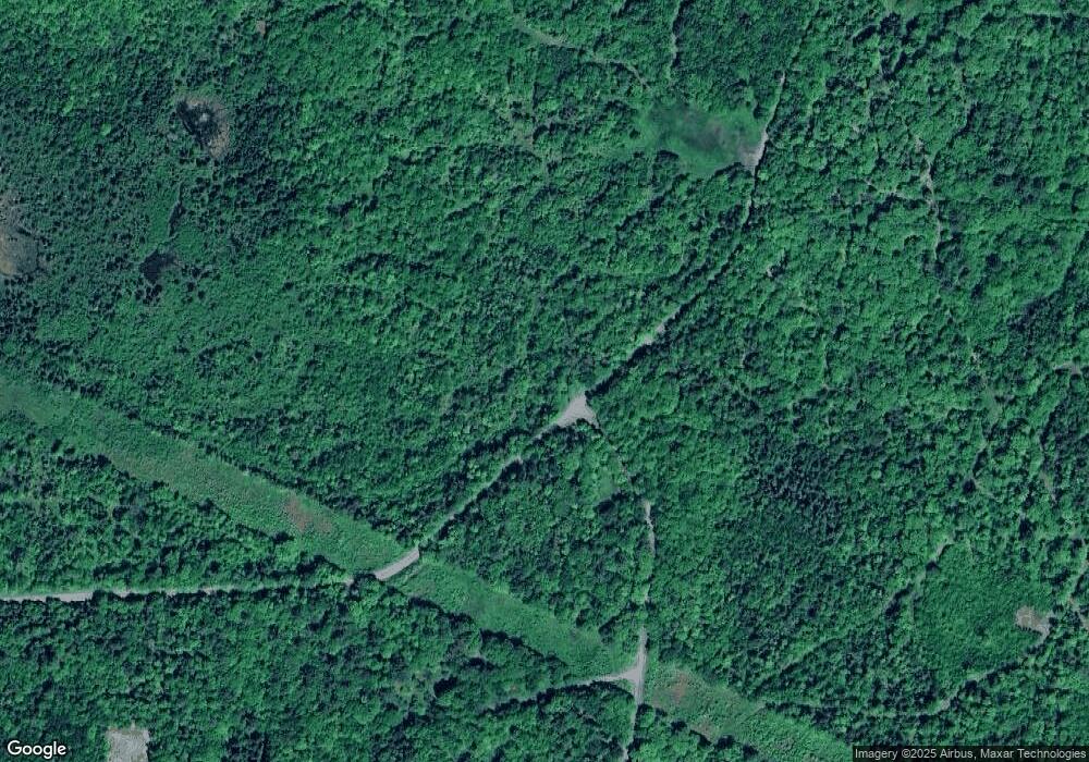
106 Mountain Rd Whitefield, NH 03598
Estimated Value: $524,000 - $1,660,339
3
Beds
4
Baths
1,919
Sq Ft
$572/Sq Ft
Est. Value
About This Home
This home is located at 106 Mountain Rd, Whitefield, NH 03598 and is currently estimated at $1,097,113, approximately $571 per square foot. 106 Mountain Rd is a home with nearby schools including Whitefield Elementary School and White Mountains Regional High School.
Ownership History
Date
Name
Owned For
Owner Type
Purchase Details
Closed on
Oct 27, 2021
Sold by
Sullivan Mark D and Sullivan Cherylann
Bought by
Platinum Holdings Co Llc
Current Estimated Value
Purchase Details
Closed on
Nov 26, 2012
Sold by
Conley 2Nd John F and Conley Ellen M
Bought by
Sullivan Mark D and Sullivan Cherylann
Purchase Details
Closed on
Feb 23, 2006
Sold by
Mhw Preservation Ltd P
Bought by
Conley 3Rd John F and Conley Ellen M
Create a Home Valuation Report for This Property
The Home Valuation Report is an in-depth analysis detailing your home's value as well as a comparison with similar homes in the area
Home Values in the Area
Average Home Value in this Area
Purchase History
| Date | Buyer | Sale Price | Title Company |
|---|---|---|---|
| Platinum Holdings Co Llc | $1,325,000 | None Available | |
| Platinum Holdings Co Llc | $1,325,000 | None Available | |
| Sullivan Mark D | $217,500 | -- | |
| Sullivan Mark D | $217,500 | -- | |
| Conley 3Rd John F | $310,000 | -- | |
| Conley 3Rd John F | $310,000 | -- |
Source: Public Records
Mortgage History
| Date | Status | Borrower | Loan Amount |
|---|---|---|---|
| Previous Owner | Conley 3Rd John F | $500,000 |
Source: Public Records
Tax History Compared to Growth
Tax History
| Year | Tax Paid | Tax Assessment Tax Assessment Total Assessment is a certain percentage of the fair market value that is determined by local assessors to be the total taxable value of land and additions on the property. | Land | Improvement |
|---|---|---|---|---|
| 2024 | $15,365 | $1,291,200 | $839,600 | $451,600 |
| 2023 | $15,920 | $1,291,200 | $839,600 | $451,600 |
| 2022 | $15,649 | $1,291,200 | $839,600 | $451,600 |
| 2021 | $14,418 | $753,700 | $448,500 | $305,200 |
| 2020 | $15,991 | $752,500 | $448,500 | $304,000 |
| 2019 | $15,050 | $752,500 | $448,500 | $304,000 |
| 2018 | $14,817 | $752,500 | $448,500 | $304,000 |
| 2015 | $12,683 | $666,451 | $407,700 | $258,751 |
| 2011 | $4,591 | $338,850 | $338,850 | $0 |
Source: Public Records
Map
Nearby Homes
- Lot 90 Faraway Rd
- 10 Duval Rd
- 231 Simonds Rd
- 184 Dalton Rd
- 0 Evergreen Dr
- Lot 10 Landry Rd
- 2157 River Rd
- 125 Parker Rd
- 4 Ridgeview Terrace
- 0 White Rd Unit 86 4954451
- 0 Sugar Wood Ln Unit 8
- 0 Walker Pit Rd
- 9 Haskins Ln
- Lot 10 Mcintyre Rd
- Lot 1 Mcintyre Rd
- TBD Mcintyre Rd
- Lot 3 Mcintyre Rd
- Lot 4 Mcintyre Rd
- Lot 9 Mcintyre Rd
- Lot 8 Mcintyre Rd
- 118 Mountain Rd
- 0 Mountain Rd Unit 33
- 0 Mountain Rd Unit 136918
- 0 Mountain Rd Unit 4177225
- 0 Mountain Rd Unit 4055647
- 0 Mountain Rd Unit 4001593
- 0 Mountain Rd Unit 4011703
- 0 Mountain Rd Unit 4227341
- 0 Mountain Rd Unit 4633572
- 00 Mountain Rd
- 00 Mountain Rd Unit 34, 35, 408-17
- 79 Mountain Rd
- 155 Mountain Rd
- 89 Mountain Rd
- 303 Mountain Rd Unit 303
- 225 Mountain Rd
- 0 Dalton Rd
- 0 Dalton Rd Unit 4889675
- 0 Dalton Rd Unit 4686796
- 742 Miller Rd
