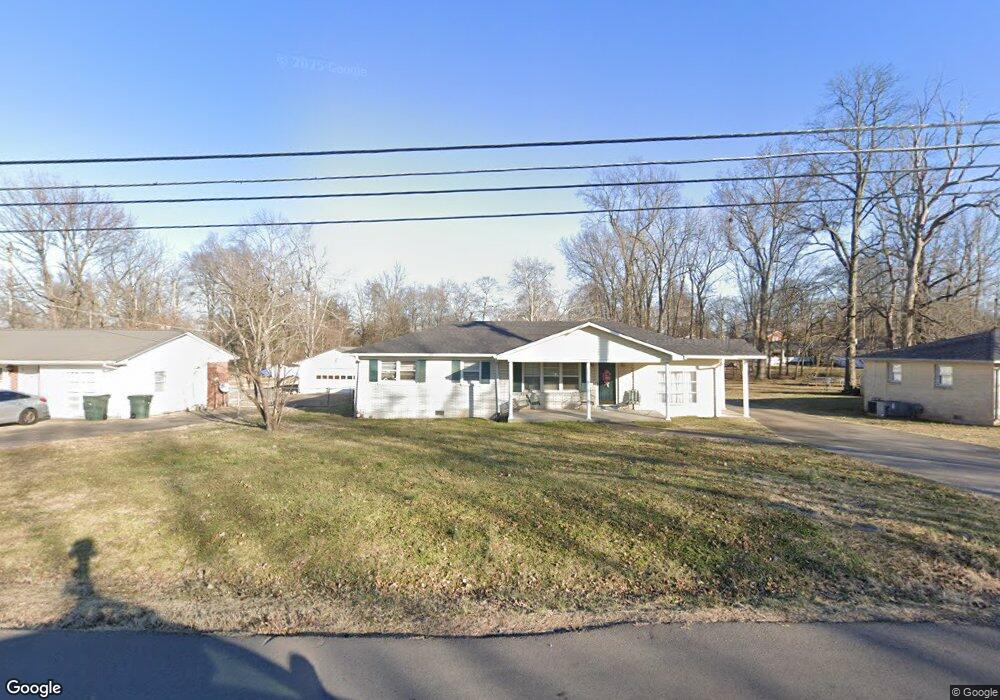
106 Robin Dr Portland, TN 37148
Estimated Value: $296,000 - $334,000
3
Beds
2
Baths
1,564
Sq Ft
$201/Sq Ft
Est. Value
About This Home
This home is located at 106 Robin Dr, Portland, TN 37148 and is currently estimated at $314,270, approximately $200 per square foot. 106 Robin Dr is a home located in Sumner County with nearby schools including Watt Hardison Elementary School, Portland West Middle School, and Portland High School.
Ownership History
Date
Name
Owned For
Owner Type
Purchase Details
Closed on
Jun 16, 2010
Sold by
Perdue Billy W
Bought by
The Billy W Perdue Trust and Perdue Billy W
Current Estimated Value
Purchase Details
Closed on
Sep 27, 2005
Sold by
Perdue Billy Wayne
Bought by
Perdue Billy Wayne
Home Financials for this Owner
Home Financials are based on the most recent Mortgage that was taken out on this home.
Original Mortgage
$40,000
Interest Rate
5.71%
Mortgage Type
New Conventional
Create a Home Valuation Report for This Property
The Home Valuation Report is an in-depth analysis detailing your home's value as well as a comparison with similar homes in the area
Home Values in the Area
Average Home Value in this Area
Purchase History
| Date | Buyer | Sale Price | Title Company |
|---|---|---|---|
| The Billy W Perdue Trust | -- | None Available | |
| Perdue Billy Wayne | -- | Forsythe Title & Escrow Svcs |
Source: Public Records
Mortgage History
| Date | Status | Borrower | Loan Amount |
|---|---|---|---|
| Closed | Perdue Billy Wayne | $40,000 |
Source: Public Records
Tax History Compared to Growth
Tax History
| Year | Tax Paid | Tax Assessment Tax Assessment Total Assessment is a certain percentage of the fair market value that is determined by local assessors to be the total taxable value of land and additions on the property. | Land | Improvement |
|---|---|---|---|---|
| 2024 | $1,060 | $74,575 | $17,500 | $57,075 |
| 2023 | $1,138 | $33,350 | $11,925 | $21,425 |
| 2022 | $1,108 | $33,350 | $11,925 | $21,425 |
| 2021 | $1,108 | $33,350 | $11,925 | $21,425 |
| 2020 | $1,108 | $33,350 | $11,925 | $21,425 |
| 2019 | $1,508 | $0 | $0 | $0 |
| 2018 | $733 | $0 | $0 | $0 |
| 2017 | $696 | $0 | $0 | $0 |
| 2016 | $696 | $0 | $0 | $0 |
| 2015 | -- | $0 | $0 | $0 |
| 2014 | -- | $0 | $0 | $0 |
Source: Public Records
Map
Nearby Homes
- 99 Portland Blvd
- 300 S Russell St
- 123 Hood Trail
- 849 Parkside Blvd
- 857 Parkside Blvd
- 865 Parkside Blvd
- Bradford Plan at Parkside Estates
- Andover Plan at Parkside Estates
- Davidson Plan at Parkside Estates
- Coleman Plan at Parkside Estates
- Aster Plan at Parkside Estates
- 104A North St
- 852 Parkside Blvd
- 856 Parkside Blvd
- 208 S Russell St
- 860 Parkside Blvd
- 864 Parkside Blvd
- 868 Parkside Blvd
- 601 S Russell St
- 116 North St