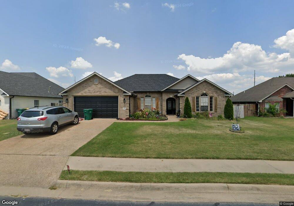
106 Skinner St Centerton, AR 72719
Estimated Value: $412,373 - $464,000
4
Beds
2
Baths
2,500
Sq Ft
$174/Sq Ft
Est. Value
About This Home
This home is located at 106 Skinner St, Centerton, AR 72719 and is currently estimated at $435,843, approximately $174 per square foot. 106 Skinner St is a home located in Benton County with nearby schools including Centerton Gamble Elementary School, Grimsley Junior High School, and Creekside Middle School.
Ownership History
Date
Name
Owned For
Owner Type
Purchase Details
Closed on
Jun 9, 2021
Sold by
Edwards Joel T and Edwards Korinda L
Bought by
Joel T Edwards & Korinda L Edwards Revocable and Edwards
Current Estimated Value
Purchase Details
Closed on
May 10, 2021
Sold by
Latham Glenn A and Latham Kelli M
Bought by
Edwards Joel
Purchase Details
Closed on
Feb 6, 2014
Sold by
Faddis Lance and Faddis Jennifer
Bought by
Edwards Joel T and Edwards Korinda L
Home Financials for this Owner
Home Financials are based on the most recent Mortgage that was taken out on this home.
Original Mortgage
$181,649
Interest Rate
4.12%
Mortgage Type
FHA
Purchase Details
Closed on
Jun 24, 2004
Bought by
Faddis
Purchase Details
Closed on
Jun 22, 2004
Bought by
Faddis
Create a Home Valuation Report for This Property
The Home Valuation Report is an in-depth analysis detailing your home's value as well as a comparison with similar homes in the area
Home Values in the Area
Average Home Value in this Area
Purchase History
| Date | Buyer | Sale Price | Title Company |
|---|---|---|---|
| Joel T Edwards & Korinda L Edwards Revocable | -- | None Listed On Document | |
| Edwards Joel | $600 | Liberty Title & Escrow | |
| Edwards Joel T | $185,000 | None Available | |
| Faddis | $199,000 | -- | |
| Faddis | $199,000 | -- |
Source: Public Records
Mortgage History
| Date | Status | Borrower | Loan Amount |
|---|---|---|---|
| Previous Owner | Edwards Joel T | $181,649 |
Source: Public Records
Tax History
| Year | Tax Paid | Tax Assessment Tax Assessment Total Assessment is a certain percentage of the fair market value that is determined by local assessors to be the total taxable value of land and additions on the property. | Land | Improvement |
|---|---|---|---|---|
| 2025 | $2,942 | $70,853 | $15,000 | $55,853 |
| 2024 | $2,836 | $70,853 | $15,000 | $55,853 |
| 2023 | $2,701 | $47,030 | $7,600 | $39,430 |
| 2022 | $2,272 | $47,030 | $7,600 | $39,430 |
| 2021 | $2,131 | $47,030 | $7,600 | $39,430 |
| 2020 | $2,047 | $38,080 | $4,000 | $34,080 |
| 2019 | $2,047 | $38,080 | $4,000 | $34,080 |
| 2018 | $2,072 | $38,080 | $4,000 | $34,080 |
| 2017 | $1,988 | $38,080 | $4,000 | $34,080 |
| 2016 | $1,988 | $38,080 | $4,000 | $34,080 |
| 2015 | $2,292 | $37,140 | $4,000 | $33,140 |
| 2014 | $1,942 | $37,140 | $4,000 | $33,140 |
Source: Public Records
Map
Nearby Homes
- 801 Pinoak St
- 100 Collins Way
- 116 Birch St
- 201 Cisterna Dr
- 118 Birch St
- 1110 Montieri Dr
- 133 Fox Run Cir
- Single Family Portfo Group 5
- 1211 Montieri Dr
- Single Family Portfo Group 4
- 1161 Montieri Dr
- 961 Harvest St
- 971 Harvest St
- 2041 Tallgrass Terrace
- 571 Stoneseed St
- 2131 Periwinkle Place
- 471 Stoneseed St
- 561 Stoneseed St
- 1211 Longbourn Dr
- 1041 Harvest St
Your Personal Tour Guide
Ask me questions while you tour the home.