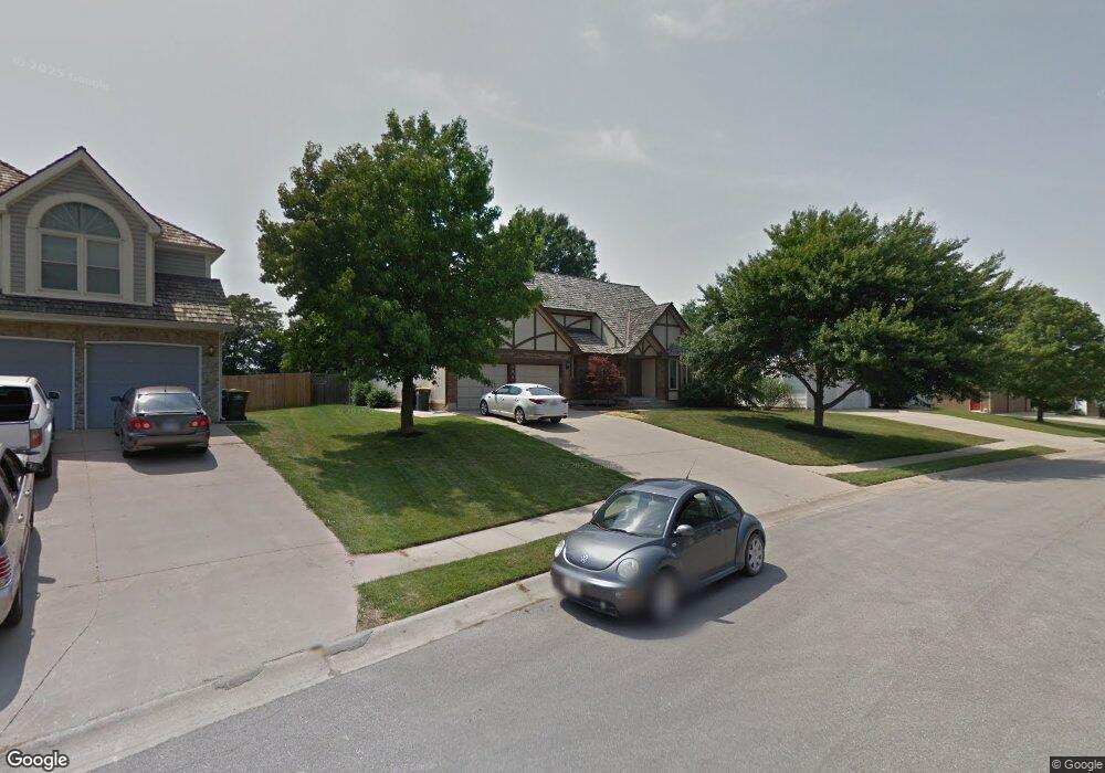
106 Southfork Rd Lansing, KS 66043
Estimated Value: $407,000 - $426,652
4
Beds
4
Baths
2,590
Sq Ft
$161/Sq Ft
Est. Value
About This Home
This home is located at 106 Southfork Rd, Lansing, KS 66043 and is currently estimated at $416,663, approximately $160 per square foot. 106 Southfork Rd is a home located in Leavenworth County with nearby schools including Lansing Elementary School, Lansing Middle 6-8, and Lansing High 9-12.
Ownership History
Date
Name
Owned For
Owner Type
Purchase Details
Closed on
Sep 1, 1987
Bought by
Strouhal Alexander F and Strouhal Barbara A
Current Estimated Value
Home Financials for this Owner
Home Financials are based on the most recent Mortgage that was taken out on this home.
Original Mortgage
$229,842
Outstanding Balance
$206,155
Interest Rate
10.33%
Mortgage Type
VA
Estimated Equity
$210,508
Create a Home Valuation Report for This Property
The Home Valuation Report is an in-depth analysis detailing your home's value as well as a comparison with similar homes in the area
Home Values in the Area
Average Home Value in this Area
Purchase History
| Date | Buyer | Sale Price | Title Company |
|---|---|---|---|
| Strouhal Alexander F | $121,000 | -- |
Source: Public Records
Mortgage History
| Date | Status | Borrower | Loan Amount |
|---|---|---|---|
| Open | Strouhal Alexander F | $229,842 | |
| Closed | Strouhal Alexander F | $212,000 |
Source: Public Records
Tax History Compared to Growth
Tax History
| Year | Tax Paid | Tax Assessment Tax Assessment Total Assessment is a certain percentage of the fair market value that is determined by local assessors to be the total taxable value of land and additions on the property. | Land | Improvement |
|---|---|---|---|---|
| 2025 | $5,800 | $44,635 | $6,736 | $37,899 |
| 2024 | $5,420 | $42,918 | $6,736 | $36,182 |
| 2023 | $5,420 | $41,619 | $6,736 | $34,883 |
| 2022 | $5,211 | $37,835 | $5,062 | $32,773 |
| 2021 | $5,145 | $35,673 | $5,062 | $30,611 |
| 2020 | $4,835 | $33,005 | $5,062 | $27,943 |
| 2019 | $4,658 | $31,763 | $5,062 | $26,701 |
| 2018 | $4,583 | $31,268 | $5,062 | $26,206 |
| 2017 | $4,477 | $30,486 | $5,062 | $25,424 |
| 2016 | $4,479 | $30,486 | $5,062 | $25,424 |
| 2015 | $4,466 | $30,486 | $5,062 | $25,424 |
| 2014 | $4,299 | $29,966 | $5,062 | $24,904 |
Source: Public Records
Map
Nearby Homes
- 866 Clearview Dr
- 922 Southfork St
- 875 Clearview Dr
- 1322 Rock Creek Ct
- 811 4-H Rd
- 833 Rock Creek Dr
- 1221 S Desoto Rd
- 000 4-H Rd
- 527 S Valley Dr
- 104 Olive St
- 24431 139th St
- 13788 McIntyre1 Rd
- 13788 Mcintyre Rd
- 13788 McIntyre2 Rd
- 13965 Mc Intyre Rd
- 522 Forestglen Ln
- 202 S Main St
- 124 S Main St
- 546 Hithergreen Dr
- 218 E Kay St
- 104 Southfork Rd
- 108 Southfork Rd
- 1205 Joshua Ct
- 102 Southfork Rd
- 110 Southfork Rd
- 105 Southfork Rd
- 107 Southfork Rd
- 1203 Joshua Ct
- 100 Southfork Rd
- 1208 Joshua Ct
- 109 Southfork Rd
- 103 Southfork Rd
- 112 Southfork Rd
- 630 Willow St
- 632 Willow St
- 634 Willow St
- 630 Willow Dr
- 101 Southfork Rd
- 632 Willow Dr
- 634 Willow Dr