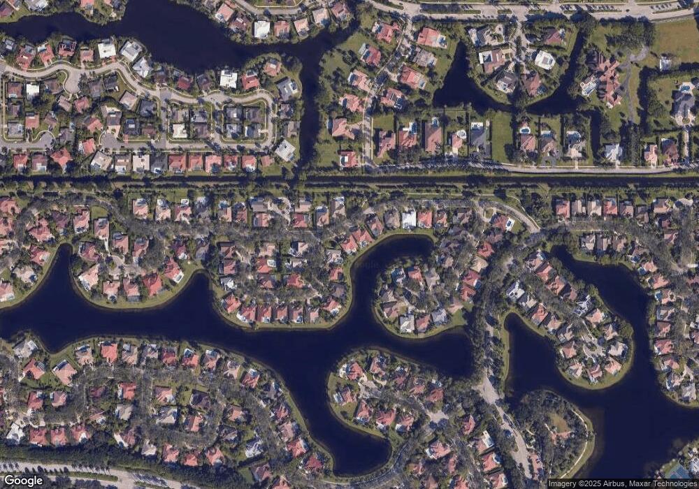
1060 Pine Branch Dr Weston, FL 33326
Country Isles NeighborhoodEstimated Value: $1,021,817 - $1,168,000
4
Beds
3
Baths
2,558
Sq Ft
$431/Sq Ft
Est. Value
About This Home
This home is located at 1060 Pine Branch Dr, Weston, FL 33326 and is currently estimated at $1,101,704, approximately $430 per square foot. 1060 Pine Branch Dr is a home located in Broward County with nearby schools including Country Isles Elementary School, Tequesta Trace Middle School, and Western High School.
Ownership History
Date
Name
Owned For
Owner Type
Purchase Details
Closed on
Jun 20, 2003
Sold by
Carlisi Suzanne T and Lopresti Pietrina
Bought by
Dager Simon
Current Estimated Value
Home Financials for this Owner
Home Financials are based on the most recent Mortgage that was taken out on this home.
Original Mortgage
$328,000
Interest Rate
5.3%
Mortgage Type
Purchase Money Mortgage
Purchase Details
Closed on
Dec 1, 1990
Sold by
Available Not
Bought by
Available Not
Create a Home Valuation Report for This Property
The Home Valuation Report is an in-depth analysis detailing your home's value as well as a comparison with similar homes in the area
Home Values in the Area
Average Home Value in this Area
Purchase History
| Date | Buyer | Sale Price | Title Company |
|---|---|---|---|
| Dager Simon | $410,000 | -- | |
| Available Not | $207,743 | -- |
Source: Public Records
Mortgage History
| Date | Status | Borrower | Loan Amount |
|---|---|---|---|
| Previous Owner | Dager Simon | $328,000 |
Source: Public Records
Tax History
| Year | Tax Paid | Tax Assessment Tax Assessment Total Assessment is a certain percentage of the fair market value that is determined by local assessors to be the total taxable value of land and additions on the property. | Land | Improvement |
|---|---|---|---|---|
| 2026 | $9,597 | $449,230 | -- | -- |
| 2025 | $9,346 | $449,230 | -- | -- |
| 2024 | $9,075 | $436,570 | -- | -- |
| 2023 | $9,075 | $423,860 | $0 | $0 |
| 2022 | $8,510 | $411,520 | $0 | $0 |
| 2021 | $8,268 | $399,540 | $0 | $0 |
| 2020 | $8,030 | $394,030 | $0 | $0 |
| 2019 | $7,783 | $385,180 | $0 | $0 |
| 2018 | $7,444 | $378,000 | $0 | $0 |
| 2017 | $7,088 | $370,230 | $0 | $0 |
| 2016 | $7,076 | $362,620 | $0 | $0 |
| 2015 | $7,190 | $360,100 | $0 | $0 |
| 2014 | $7,230 | $357,250 | $0 | $0 |
| 2013 | -- | $394,000 | $133,540 | $260,460 |
Source: Public Records
Map
Nearby Homes
- 1077 Deerwood Ln
- 570 Royal Poinciana Ct
- 1003 Trailmore Ln
- 16380 Paddock Ln
- 16561 Royal Poinciana Dr
- 601 Ranch Rd
- 1290 Manor Ct
- 151 Sw Terrace
- 1347 Seagrape Cir
- 1327 Seagrape Cir
- 1361 Seagrape Cir
- 1321 Seagrape Cir
- 16273 Laurel Dr Unit 7
- 16193 Saddle Club Rd Unit 102
- 16240 Laurel Dr Unit 101
- 16189 Laurel Dr Unit 25
- 1426 Seagrape Cir
- 1411 Seagrape Cir
- 16807 Patio Village Ln
- 400 Bonaventure Blvd
- 1062 Pine Branch Dr
- 1058 Poplar Cir
- 1056 Poplar Cir
- 1064 Pine Branch Dr
- 1059 Pine Branch Dr
- 1055 Pine Branch Dr
- 1054 Poplar Cir
- 1066 Pine Branch Dr
- 1057 Poplar Cir
- 1051 Deerpath Ct
- 1053 Poplar Cir
- 1085 Deerwood Ln
- 1087 Deerwood Ln
- 1049 Poplar Cir
- 1052 Poplar Cir
- 1068 Pine Branch Dr
- 1047 Deerpath Ct
- 1083 Deerwood Ln
- 1050 Poplar Cir
- 1089 Deerwood Ln
