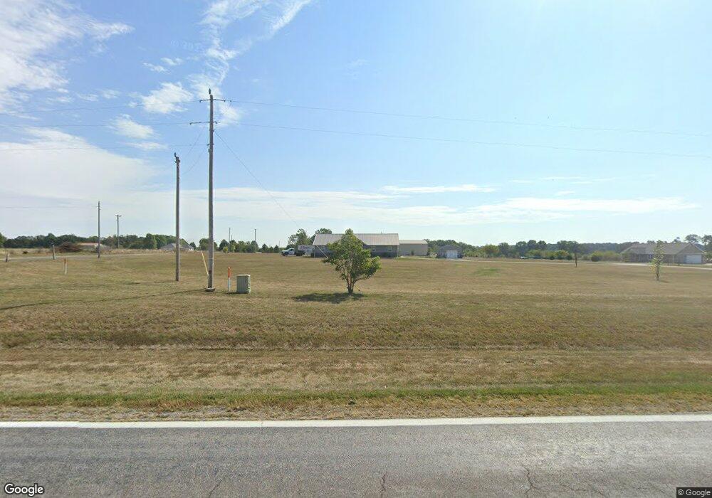
1060 State Highway 39 Aurora, MO 65605
Estimated Value: $199,863 - $674,000
--
Bed
--
Bath
1,431
Sq Ft
$256/Sq Ft
Est. Value
About This Home
This home is located at 1060 State Highway 39, Aurora, MO 65605 and is currently estimated at $365,966, approximately $255 per square foot. 1060 State Highway 39 is a home with nearby schools including Pate Early Childhood Center, Robinson Elementary School, and Robinson Intermediate School.
Ownership History
Date
Name
Owned For
Owner Type
Purchase Details
Closed on
Sep 17, 2025
Sold by
Merritt Kerry B and Merritt Jimalea K
Bought by
Kj Merritt Trust and Merritt
Current Estimated Value
Purchase Details
Closed on
Jun 10, 2019
Sold by
Larkin Randy and Petploy Dujduen
Bought by
Merritt Kerry and Merritt Jimalea
Home Financials for this Owner
Home Financials are based on the most recent Mortgage that was taken out on this home.
Original Mortgage
$90,000
Interest Rate
4.2%
Mortgage Type
Construction
Create a Home Valuation Report for This Property
The Home Valuation Report is an in-depth analysis detailing your home's value as well as a comparison with similar homes in the area
Home Values in the Area
Average Home Value in this Area
Purchase History
| Date | Buyer | Sale Price | Title Company |
|---|---|---|---|
| Kj Merritt Trust | -- | None Listed On Document | |
| Kj Merritt Trust | -- | None Listed On Document | |
| Merritt Kerry | -- | None Available |
Source: Public Records
Mortgage History
| Date | Status | Borrower | Loan Amount |
|---|---|---|---|
| Previous Owner | Merritt Kerry | $90,000 |
Source: Public Records
Tax History Compared to Growth
Tax History
| Year | Tax Paid | Tax Assessment Tax Assessment Total Assessment is a certain percentage of the fair market value that is determined by local assessors to be the total taxable value of land and additions on the property. | Land | Improvement |
|---|---|---|---|---|
| 2025 | $990 | $22,420 | $3,040 | $19,380 |
| 2024 | $990 | $20,653 | $3,040 | $17,613 |
| 2023 | $987 | $20,653 | $3,040 | $17,613 |
| 2022 | $967 | $20,235 | $2,622 | $17,613 |
| 2021 | $936 | $19,665 | $2,052 | $17,613 |
| 2020 | $0 | $19,665 | $2,052 | $17,613 |
Source: Public Records
Map
Nearby Homes
- 1967 Cattle Dr
- 19038 Farm Road 2020
- Tract 2 Farm Rd 1200
- 00 Farm Road 1200
- 00 Farm Road 1200
- 1757 Farm Road 1200
- 000 Farm Road 1200
- Tract 1 Farm Rd 2020 & 1200
- 000 Farm Road 2000
- 17250 State Highway Z
- 16427 Farm Road 2007
- 23105 Lawrence 1200
- 18371 Lawrence 2230
- 000 Lawrence 2230
- Tract 2 Farm Road 1200
- 302 E Dyer St Unit 1
- 000 Highway 60 Unit Tract 1
- 22965 Lawrence 1210
- 17196 Farm Road 2030
- 000 Lawrence 1200 A
- 19133 Farm Road 2010
- Tbd S State Hiway 39
- 18902 Farm Road 2010
- 1162 State Highway 39
- 923 State Highway 39
- 19245 Farm Road 2010
- 19271 Farm Road 2010
- 19248 Farm Road 2010
- 18850 Farm Road 2010
- 19162 Farm Road 2010
- 792 State Highway 39
- 19319 Farm Road 2010
- 17591 Lawrence 2150
- 19476 Farm Road 2010
- 530 State Highway 39
- 1491 State Highway 39
- 18664 Farm Road 2010
- 18602 Farm Road 2010
- 19009 Farm Road 2015
- 19352 Farm Road 2015