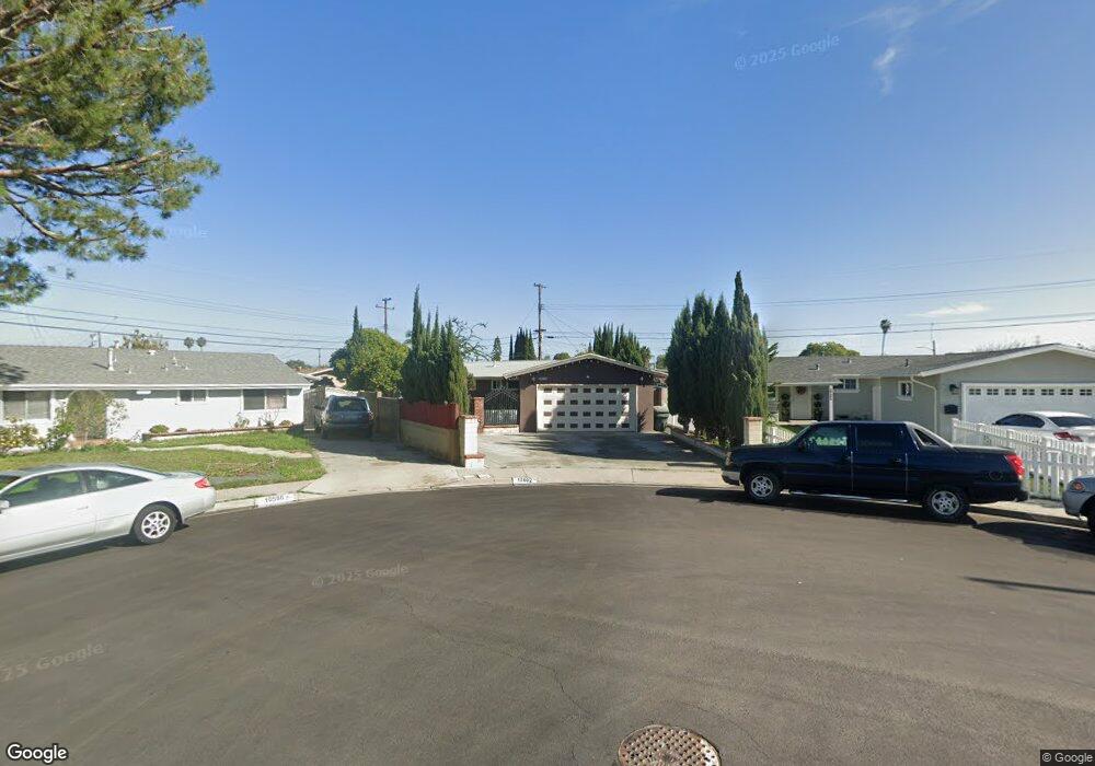
10602 Dixie Dr Anaheim, CA 92804
West Anaheim NeighborhoodEstimated Value: $789,000 - $864,663
2
Beds
2
Baths
1,139
Sq Ft
$733/Sq Ft
Est. Value
About This Home
This home is located at 10602 Dixie Dr, Anaheim, CA 92804 and is currently estimated at $834,666, approximately $732 per square foot. 10602 Dixie Dr is a home located in Orange County with nearby schools including Jonas E. Salk Elementary School, Dale Jr High School, and Magnolia High.
Ownership History
Date
Name
Owned For
Owner Type
Purchase Details
Closed on
Dec 17, 2024
Sold by
Linares Juana and Linares Reynaldo Lopez
Bought by
Linares Family Trust and Linares
Current Estimated Value
Purchase Details
Closed on
Sep 24, 1994
Sold by
Linares Reynaldo L and Linares Juana
Bought by
Linares Reynaldo L and Linares Juana
Purchase Details
Closed on
Nov 9, 1993
Sold by
Parrish Vinita Maple
Bought by
Linares Reynaldo L and Linares Juana
Home Financials for this Owner
Home Financials are based on the most recent Mortgage that was taken out on this home.
Original Mortgage
$150,328
Interest Rate
7.09%
Mortgage Type
FHA
Create a Home Valuation Report for This Property
The Home Valuation Report is an in-depth analysis detailing your home's value as well as a comparison with similar homes in the area
Home Values in the Area
Average Home Value in this Area
Purchase History
| Date | Buyer | Sale Price | Title Company |
|---|---|---|---|
| Linares Family Trust | -- | None Listed On Document | |
| Linares Family Trust | -- | None Listed On Document | |
| Linares Reynaldo L | -- | -- | |
| Linares Reynaldo L | $152,000 | Old Republic Title Company |
Source: Public Records
Mortgage History
| Date | Status | Borrower | Loan Amount |
|---|---|---|---|
| Previous Owner | Linares Reynaldo L | $150,328 |
Source: Public Records
Tax History
| Year | Tax Paid | Tax Assessment Tax Assessment Total Assessment is a certain percentage of the fair market value that is determined by local assessors to be the total taxable value of land and additions on the property. | Land | Improvement |
|---|---|---|---|---|
| 2025 | $3,067 | $246,740 | $176,484 | $70,256 |
| 2024 | $3,067 | $241,902 | $173,023 | $68,879 |
| 2023 | $3,013 | $237,159 | $169,630 | $67,529 |
| 2022 | $2,980 | $232,509 | $166,304 | $66,205 |
| 2021 | $2,877 | $227,950 | $163,043 | $64,907 |
| 2020 | $2,929 | $225,613 | $161,371 | $64,242 |
| 2019 | $2,863 | $221,190 | $158,207 | $62,983 |
| 2018 | $2,829 | $216,853 | $155,104 | $61,749 |
| 2017 | $2,737 | $212,601 | $152,062 | $60,539 |
| 2016 | $2,722 | $208,433 | $149,081 | $59,352 |
| 2015 | $2,690 | $205,303 | $146,842 | $58,461 |
| 2014 | $2,569 | $201,282 | $143,966 | $57,316 |
Source: Public Records
Map
Nearby Homes
- 2161 W Harle Ave
- 10601 Patricia Dr
- 10402 Patricia Dr
- 1765 S Biscayne Ct
- 1762 S William Miller Dr
- 1250 S Brookhurst St Unit 2050
- 1250 S Brookhurst St Unit 1109
- 1250 S Brookhurst St Unit 2028
- 1250 S Brookhurst St Unit 2080
- 1250 S Brookhurst St Unit 2033
- 1250 S Brookhurst St Unit 2014
- 10031 Burgundy Place
- 2011 W Katella Ave
- 2011 W Katella Ave Unit 3
- 2157 W Essex Cir
- 11192 Biscayne Ct
- 904 S Cornwall Dr
- 998 S Crossbow Ln Unit 12D
- 9155 Pacific Ave Unit 265
- 933 S Downey Place Unit 20
- 10596 Dixie Dr
- 10606 Dixie Dr
- 10591 Chamberlain Ave
- 10581 Chamberlain Ave
- 9842 Harle Ave
- 10601 Chamberlain Ave
- 10595 Dixie Dr
- 10612 Dixie Dr
- 9832 Harle Ave
- 9852 Harle Ave
- 9812 Harle Ave
- 10611 Chamberlain Ave
- 10561 Chamberlain Ave
- 10601 Dixie Dr
- 10622 Dixie Dr
- 10605 Dixie Dr
- 9802 Harle Ave
- 10621 Chamberlain Ave
- 10611 Dixie Dr
- 10602 Chamberlain Ave
Your Personal Tour Guide
Ask me questions while you tour the home.