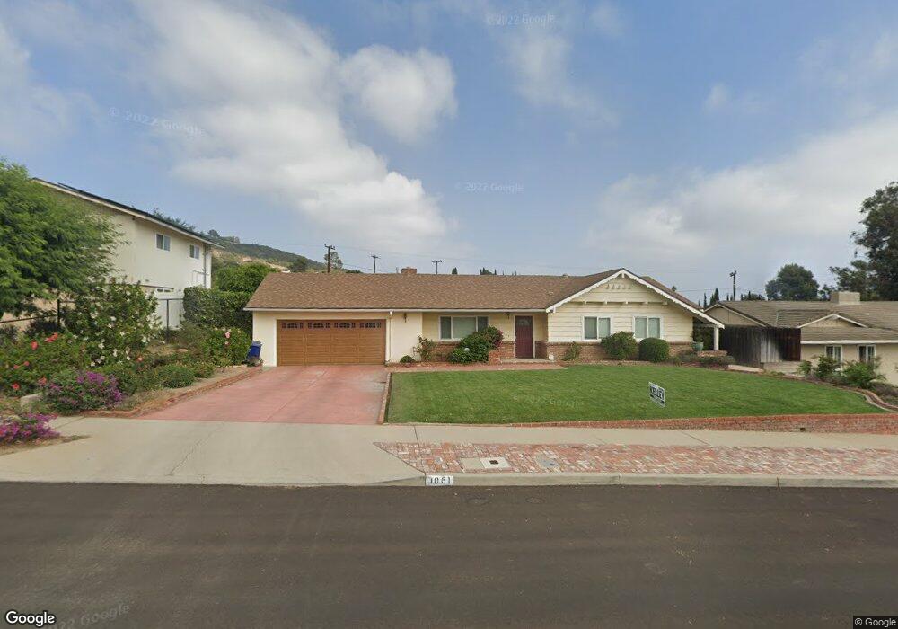
1061 Mesa Dr Camarillo, CA 93010
Estimated Value: $1,094,257 - $1,304,000
4
Beds
2
Baths
1,792
Sq Ft
$683/Sq Ft
Est. Value
About This Home
This home is located at 1061 Mesa Dr, Camarillo, CA 93010 and is currently estimated at $1,224,564, approximately $683 per square foot. 1061 Mesa Dr is a home located in Ventura County with nearby schools including Camarillo Heights Elementary School, Monte Vista Middle School, and Adolfo Camarillo High School.
Ownership History
Date
Name
Owned For
Owner Type
Purchase Details
Closed on
Oct 14, 2021
Sold by
Purdy Stephanie P
Bought by
Stephanie P Purdy Revocable Trust and Purdy
Current Estimated Value
Purchase Details
Closed on
Aug 19, 2003
Sold by
Purdy Robert W and Purdy Stephanie P
Bought by
Purdy Robert W and Purdy Stephanie P
Purchase Details
Closed on
Aug 22, 2001
Sold by
Purdy Robert W and Purdy Stephanie P
Bought by
Purdy Robert W and Purdy Stephanie P
Home Financials for this Owner
Home Financials are based on the most recent Mortgage that was taken out on this home.
Original Mortgage
$140,000
Interest Rate
6.65%
Purchase Details
Closed on
May 8, 1998
Sold by
Purdy Robert W and Purdy Stephanie P
Bought by
Purdy Robert W and Purdy Stephanie P
Create a Home Valuation Report for This Property
The Home Valuation Report is an in-depth analysis detailing your home's value as well as a comparison with similar homes in the area
Home Values in the Area
Average Home Value in this Area
Purchase History
| Date | Buyer | Sale Price | Title Company |
|---|---|---|---|
| Stephanie P Purdy Revocable Trust | -- | None Listed On Document | |
| Purdy Robert W | -- | Southland | |
| Purdy Robert W | -- | Lawyers Title Company | |
| Purdy Robert W | -- | Lawyers Title Company | |
| Purdy Robert W | -- | -- |
Source: Public Records
Mortgage History
| Date | Status | Borrower | Loan Amount |
|---|---|---|---|
| Previous Owner | Purdy Robert W | $140,000 |
Source: Public Records
Tax History
| Year | Tax Paid | Tax Assessment Tax Assessment Total Assessment is a certain percentage of the fair market value that is determined by local assessors to be the total taxable value of land and additions on the property. | Land | Improvement |
|---|---|---|---|---|
| 2025 | $3,639 | $326,510 | $81,612 | $244,898 |
| 2024 | $3,639 | $320,108 | $80,011 | $240,097 |
| 2023 | $3,510 | $313,832 | $78,442 | $235,390 |
| 2022 | $3,499 | $307,679 | $76,904 | $230,775 |
| 2021 | $3,299 | $301,647 | $75,397 | $226,250 |
| 2020 | $3,286 | $298,556 | $74,625 | $223,931 |
| 2019 | $3,269 | $292,703 | $73,162 | $219,541 |
| 2018 | $3,208 | $286,965 | $71,728 | $215,237 |
| 2017 | $3,020 | $281,339 | $70,322 | $211,017 |
| 2016 | $2,947 | $275,824 | $68,944 | $206,880 |
| 2015 | $2,915 | $271,682 | $67,909 | $203,773 |
| 2014 | $2,847 | $266,362 | $66,580 | $199,782 |
Source: Public Records
Map
Nearby Homes
- 2713 Antonio Dr Unit 312
- 2713 Antonio Dr Unit 210
- 2803 Antonio Dr Unit 102
- 2623 Antonio Dr Unit 106
- 2696 Antonio Dr
- 2674 Tanglewood St
- 2496 Parkway Dr
- 2178 Westwood Dr
- 1874 Munson St
- 1772 Weston Cir
- 2154 El Rancho Dr
- 1783 Fenmore Ave
- 520 E Highland Dr
- 2251 Camilar Dr
- 2206 Sanchez Dr
- 2228 Camilar Dr
- 2201 Camilar Dr
- 542 San Clemente Way
- 2255 Placita San Rufino
- 2105 Avenida San Antero
Your Personal Tour Guide
Ask me questions while you tour the home.