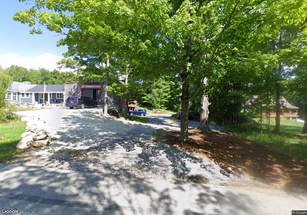
1062 Gorham Pond Rd Dunbarton, NH 03046
Estimated Value: $730,000 - $752,000
5
Beds
3
Baths
2,848
Sq Ft
$259/Sq Ft
Est. Value
About This Home
This home is located at 1062 Gorham Pond Rd, Dunbarton, NH 03046 and is currently estimated at $736,472, approximately $258 per square foot. 1062 Gorham Pond Rd is a home located in Merrimack County with nearby schools including Dunbarton Elementary School, Bow Memorial School, and Bow High School.
Ownership History
Date
Name
Owned For
Owner Type
Purchase Details
Closed on
Oct 4, 2022
Sold by
Willis Melissa and Willis David L
Bought by
Lally Joseph and Lally Amanda
Current Estimated Value
Purchase Details
Closed on
Jul 19, 2022
Sold by
Willis David and Willis Melissa
Bought by
Kemp Michael and Kemp Molly
Purchase Details
Closed on
Nov 6, 2014
Sold by
Brady Shawn P and Brady Alicia G
Bought by
Michael Kemp
Purchase Details
Closed on
Nov 5, 2013
Sold by
Brady Shawn P and Brady Alicia G
Bought by
Dunn Andrew and Dunn Donna
Purchase Details
Closed on
Jun 10, 1996
Sold by
Simons Joanne E
Bought by
Brady Shawn P and Brady Alicia G
Home Financials for this Owner
Home Financials are based on the most recent Mortgage that was taken out on this home.
Original Mortgage
$168,000
Interest Rate
7.89%
Mortgage Type
Purchase Money Mortgage
Create a Home Valuation Report for This Property
The Home Valuation Report is an in-depth analysis detailing your home's value as well as a comparison with similar homes in the area
Home Values in the Area
Average Home Value in this Area
Purchase History
| Date | Buyer | Sale Price | Title Company |
|---|---|---|---|
| Lally Joseph | $579,933 | None Available | |
| Lally Joseph | $579,933 | None Available | |
| Lally Joseph | $579,933 | None Available | |
| Kemp Michael | -- | None Available | |
| Kemp Michael | -- | None Available | |
| Kemp Michael | -- | None Available | |
| Michael Kemp | $322,600 | -- | |
| Michael Kemp | $322,600 | -- | |
| Dunn Andrew | $45,000 | -- | |
| Dunn Andrew | $45,000 | -- | |
| Brady Shawn P | $210,000 | -- | |
| Brady Shawn P | $210,000 | -- |
Source: Public Records
Mortgage History
| Date | Status | Borrower | Loan Amount |
|---|---|---|---|
| Previous Owner | Brady Shawn P | $168,000 | |
| Closed | Brady Shawn P | $0 |
Source: Public Records
Tax History Compared to Growth
Tax History
| Year | Tax Paid | Tax Assessment Tax Assessment Total Assessment is a certain percentage of the fair market value that is determined by local assessors to be the total taxable value of land and additions on the property. | Land | Improvement |
|---|---|---|---|---|
| 2024 | $12,546 | $475,600 | $120,900 | $354,700 |
| 2023 | $11,849 | $463,400 | $120,900 | $342,500 |
| 2022 | $10,497 | $456,800 | $114,300 | $342,500 |
| 2021 | $10,694 | $456,800 | $114,300 | $342,500 |
| 2020 | $10,178 | $456,800 | $114,300 | $342,500 |
| 2018 | $7,849 | $348,400 | $86,400 | $262,000 |
| 2017 | $8,923 | $348,400 | $86,400 | $262,000 |
| 2016 | $8,355 | $348,400 | $86,400 | $262,000 |
| 2015 | $7,525 | $319,000 | $86,400 | $232,600 |
| 2014 | $7,769 | $367,500 | $92,600 | $274,900 |
| 2013 | $7,388 | $351,628 | $76,728 | $274,900 |
Source: Public Records
Map
Nearby Homes
- 3 Stephanie Rd
- 0 Fairway Dr Unit 11
- 22 Fairway Dr
- 15 Robert Rogers Rd
- 1003 School St
- 78 Rangeway Rd
- 849 River Rd
- 88 Saunders Rd
- 174 S Stark Hwy Unit 13
- 174 S Stark Hwy Unit 1
- 174 S Stark Hwy Unit 23
- 0 Huntington Hill Rd Unit 69
- 602 Black Brook Rd
- 93 Daniels Rd
- 77 Gould Rd
- 103 Renshaw Rd
- 45 Range Rd
- 624 S Stark Hwy
- 43 Sterling Place
- 1 Hop Kiln Rd
- 1066 Gorham Pond Rd
- 1074 Gorham Pond Rd
- 1061 Gorham Pond Rd
- 1078 Gorham Pond Rd
- 1050 Gorham Pond Rd
- 17 Stephanie Rd
- 15 Stephanie Rd
- 16 Stephanie Rd
- 14 Stephanie Rd
- 1089 Gorham Pond Rd
- 1086 Gorham Pond Rd
- 19 Holiday Shore Dr
- 23 Holiday Shore Dr
- 21 Holiday Shore Dr
- 48 Holiday Shore Dr
- 11 Stephanie Rd
- 25 Holiday Shore Dr
- 27 Holiday Shore Dr
- 7 Stephanie Rd
- 18 Holiday Shore Dr