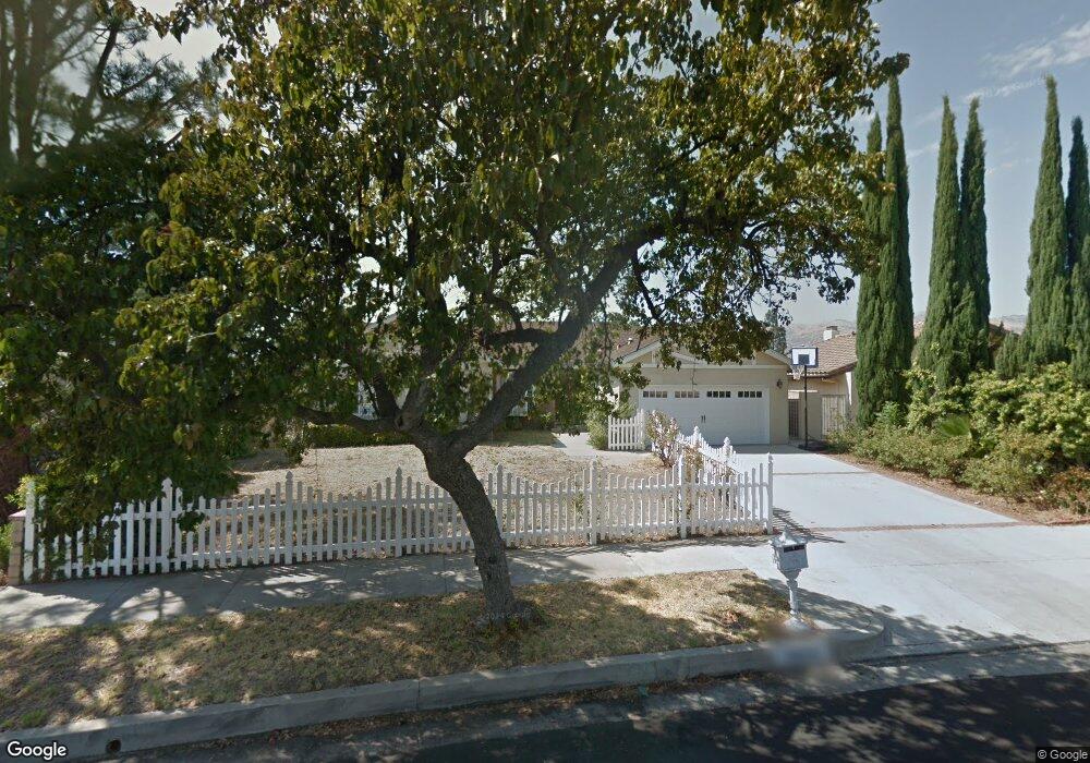
10643 Baton Rouge Ave Porter Ranch, CA 91326
Porter Ranch NeighborhoodEstimated Value: $1,247,000 - $1,362,000
4
Beds
3
Baths
2,554
Sq Ft
$508/Sq Ft
Est. Value
About This Home
This home is located at 10643 Baton Rouge Ave, Porter Ranch, CA 91326 and is currently estimated at $1,297,197, approximately $507 per square foot. 10643 Baton Rouge Ave is a home located in Los Angeles County with nearby schools including Valley Academy of Arts & Sciences, Northridge Academy High, and Topeka Charter School For Advanced Studies.
Ownership History
Date
Name
Owned For
Owner Type
Purchase Details
Closed on
Feb 4, 2003
Sold by
Dickinson Chris and Dickinson Nawzat
Bought by
The Nkd Trust
Current Estimated Value
Home Financials for this Owner
Home Financials are based on the most recent Mortgage that was taken out on this home.
Original Mortgage
$408,000
Outstanding Balance
$174,481
Interest Rate
5.93%
Estimated Equity
$1,122,716
Create a Home Valuation Report for This Property
The Home Valuation Report is an in-depth analysis detailing your home's value as well as a comparison with similar homes in the area
Home Values in the Area
Average Home Value in this Area
Purchase History
| Date | Buyer | Sale Price | Title Company |
|---|---|---|---|
| The Nkd Trust | -- | -- | |
| Dickinson Chris | $510,000 | First Southwestern Title Co |
Source: Public Records
Mortgage History
| Date | Status | Borrower | Loan Amount |
|---|---|---|---|
| Open | Dickinson Chris | $408,000 |
Source: Public Records
Tax History Compared to Growth
Tax History
| Year | Tax Paid | Tax Assessment Tax Assessment Total Assessment is a certain percentage of the fair market value that is determined by local assessors to be the total taxable value of land and additions on the property. | Land | Improvement |
|---|---|---|---|---|
| 2025 | $9,280 | $738,632 | $295,451 | $443,181 |
| 2024 | $9,280 | $724,150 | $289,658 | $434,492 |
| 2023 | $9,108 | $709,952 | $283,979 | $425,973 |
| 2022 | $8,698 | $696,032 | $278,411 | $417,621 |
| 2021 | $8,586 | $682,385 | $272,952 | $409,433 |
| 2019 | $8,338 | $662,147 | $264,857 | $397,290 |
| 2018 | $8,136 | $649,164 | $259,664 | $389,500 |
| 2016 | $7,767 | $623,958 | $249,582 | $374,376 |
| 2015 | $7,656 | $614,587 | $245,834 | $368,753 |
| 2014 | $7,687 | $602,549 | $241,019 | $361,530 |
Source: Public Records
Map
Nearby Homes
- 19166 Germain St
- 19520 Bermuda St
- 19559 Tulsa St
- 19259 Ludlow St
- 19040 Celtic St
- 10801 Bothwell Rd
- 19009 Celtic St
- 19121 Kenya St
- 10225 Donna Ave
- 19140 Lahey St Unit 4
- 19200 Lahey St Unit 3
- 18741 Hillsboro Rd
- 11215 Wilbur Ave
- 19519 Rinaldi St Unit 57
- 19933 Hiawatha St
- 19941 Hiawatha St
- 11144 Viking Ave
- 11311 Tampa Ave Unit 22
- 10811 Amigo Ave
- 20027 Hiawatha St
- 10649 Baton Rouge Ave
- 10637 Baton Rouge Ave
- 10726 Des Moines Ave
- 10655 Baton Rouge Ave
- 10631 Baton Rouge Ave
- 10710 Des Moines Ave
- 10642 Baton Rouge Ave
- 10736 Des Moines Ave
- 10627 Baton Rouge Ave
- 10651 Baton Rouge Place
- 10626 Baton Rouge Ave
- 10642 Atlanta Ave
- 10634 Atlanta Ave
- 19322 Cheyenne St
- 10641 Baton Rouge Place
- 10748 Des Moines Ave
- 19314 Cheyenne St
- 10671 Baton Rouge Ave
- 10725 Des Moines Ave
- 10717 Des Moines Ave