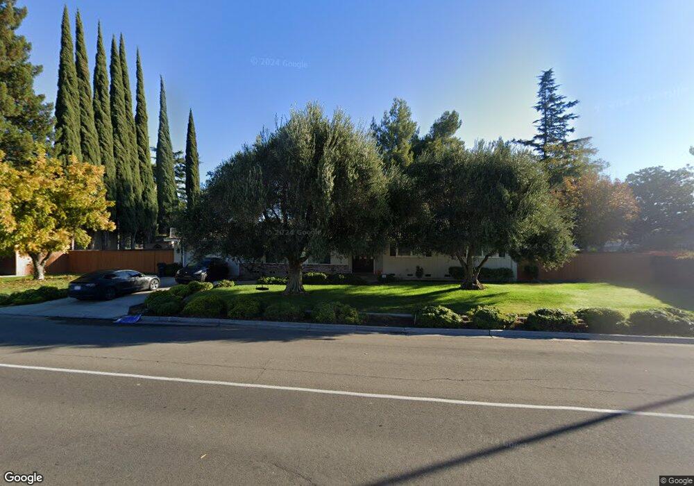
10646 Davis Rd Stockton, CA 95209
Spanos Park NeighborhoodEstimated Value: $491,872 - $567,000
3
Beds
2
Baths
1,712
Sq Ft
$311/Sq Ft
Est. Value
About This Home
This home is located at 10646 Davis Rd, Stockton, CA 95209 and is currently estimated at $533,218, approximately $311 per square foot. 10646 Davis Rd is a home located in San Joaquin County with nearby schools including Podesta Ranch Elementary School, Christa McAuliffe Middle School, and Bear Creek High School.
Ownership History
Date
Name
Owned For
Owner Type
Purchase Details
Closed on
Oct 5, 2015
Sold by
Wilson Ruby Kathryn and Ruby Kathryn Wilson 2013 Trust
Bought by
Wilson Mac and Ruby Kathryn Wilson Irrevocabl
Current Estimated Value
Purchase Details
Closed on
Jan 22, 2015
Sold by
Wilson Ruby Kathryn
Bought by
Wilson Ruby Kathryn
Purchase Details
Closed on
Nov 10, 2014
Sold by
Clark Ronald and Clark Ruby Kathryn
Bought by
Wilson Ruby Kathryn and Ruby Kathryn Wilson 2013 Trust
Purchase Details
Closed on
Dec 1, 2000
Sold by
Wilson Ruby K
Bought by
Clark Ronald and Clark Ruby Kathryn
Create a Home Valuation Report for This Property
The Home Valuation Report is an in-depth analysis detailing your home's value as well as a comparison with similar homes in the area
Home Values in the Area
Average Home Value in this Area
Purchase History
| Date | Buyer | Sale Price | Title Company |
|---|---|---|---|
| Wilson Mac | -- | None Available | |
| Wilson Ruby Kathryn | -- | None Available | |
| Wilson Ruby Kathryn | -- | None Available | |
| Clark Ronald | -- | -- |
Source: Public Records
Tax History Compared to Growth
Tax History
| Year | Tax Paid | Tax Assessment Tax Assessment Total Assessment is a certain percentage of the fair market value that is determined by local assessors to be the total taxable value of land and additions on the property. | Land | Improvement |
|---|---|---|---|---|
| 2025 | $3,672 | $126,612 | $25,367 | $101,245 |
| 2024 | $3,120 | $124,130 | $24,870 | $99,260 |
| 2023 | $3,060 | $121,697 | $24,383 | $97,314 |
| 2022 | $3,097 | $119,311 | $23,905 | $95,406 |
| 2021 | $2,815 | $116,973 | $23,437 | $93,536 |
| 2020 | $2,681 | $115,774 | $23,197 | $92,577 |
| 2019 | $2,547 | $113,505 | $22,743 | $90,762 |
| 2018 | $2,333 | $111,281 | $22,298 | $88,983 |
| 2017 | $2,472 | $109,100 | $21,861 | $87,239 |
| 2016 | $2,081 | $106,961 | $21,433 | $85,528 |
| 2015 | $2,231 | $105,355 | $21,111 | $84,244 |
| 2014 | $2,215 | $103,291 | $20,697 | $82,594 |
Source: Public Records
Map
Nearby Homes
- 10622 Waterbury Dr
- 10636 Elkhorn Dr
- 2120 Lonnie Beck Way
- 1146 Cypress Run Dr
- 1145 Hartwell Ave
- 10647 Spring Creek Place
- 712 Renoir Ln
- 10148 Tony Ct
- 10302 Bunker Ln
- 647 Chagall Ln
- 10554 Rudder Way
- 10616 Scooter Ct
- 10540 Rudder Way
- 10651 Abigail Ct
- 10242 Creek Trail Cir
- 10518 Abigail Ct
- 1927 Gerber Dr
- 10628 Hidden Grove Cir
- 2140 Orvis Dr
- 1903 Chaparral Way
- 10668 Davis Rd
- 1473 Elkhorn Dr
- 10621 Davis Rd Unit 1
- 10665 Savoy Cir
- 10633 Davis Rd
- 1439 Elkhorn Dr
- 10653 Savoy Cir
- 10692 Davis Rd
- 10617 Davis Rd
- 10605 Davis Rd
- 10677 Savoy Cir
- 1403 Elkhorn Dr
- 10641 Savoy Cir
- 10609 Davis Rd
- 10655 Davis Rd
- 10689 Savoy Cir
- 1474 Elkhorn Dr
- 10629 Savoy Cir
- 10716 Davis Rd