Estimated Value: $378,000 - $1,699,200
Studio
1
Bath
2,010
Sq Ft
$517/Sq Ft
Est. Value
About This Home
This home is located at 1065 Beasley Rd, Dixie, GA 31629 and is currently estimated at $1,038,600, approximately $516 per square foot. 1065 Beasley Rd is a home located in Brooks County with nearby schools including Quitman Elementary School.
Ownership History
Date
Name
Owned For
Owner Type
Purchase Details
Closed on
Jul 1, 2020
Sold by
Hamm John W
Bought by
The Erma Hamm Family Farm Legacy Llc
Current Estimated Value
Purchase Details
Closed on
Dec 30, 2019
Sold by
Peak Ernestine L
Bought by
Peak Ernestine L and Peak Charles W
Purchase Details
Closed on
Jul 10, 2015
Sold by
Peak Ernestine L
Bought by
Peak Ernestine L and Hamm John W
Purchase Details
Closed on
Apr 7, 2015
Sold by
Peak Ernestine L
Bought by
Conservation Use Covenant Recording
Purchase Details
Closed on
May 20, 2013
Sold by
Peak Ernestine L
Bought by
Conservation Use Covenant Recording
Purchase Details
Closed on
Jul 12, 2012
Sold by
Ham John Wesley
Bought by
Peak Ernestine L
Purchase Details
Closed on
Apr 22, 2012
Sold by
Ham John Wesley
Bought by
Peak Ernestine L and Peak Turner Cedrick
Purchase Details
Closed on
Jan 28, 1998
Sold by
Ham John Wesley
Bought by
Ham John Wesley
Purchase Details
Closed on
May 22, 1997
Sold by
Ham Erma R and Willie James
Bought by
Ham John Wesley
Create a Home Valuation Report for This Property
The Home Valuation Report is an in-depth analysis detailing your home's value as well as a comparison with similar homes in the area
Purchase History
| Date | Buyer | Sale Price | Title Company |
|---|---|---|---|
| The Erma Hamm Family Farm Legacy Llc | -- | -- | |
| Peak Ernestine L | -- | -- | |
| Peak Ernestine L | -- | -- | |
| Conservation Use Covenant Recording | -- | -- | |
| Conservation Use Covenant Recording | -- | -- | |
| Peak Ernestine L | -- | -- | |
| Peak Ernestine L | -- | -- | |
| Ham John Wesley | $1,000 | -- | |
| Ham John Wesley | $1,000 | -- |
Source: Public Records
Tax History
| Year | Tax Paid | Tax Assessment Tax Assessment Total Assessment is a certain percentage of the fair market value that is determined by local assessors to be the total taxable value of land and additions on the property. | Land | Improvement |
|---|---|---|---|---|
| 2025 | $3,371 | $436,324 | $384,200 | $52,124 |
| 2024 | $3,529 | $436,588 | $384,200 | $52,388 |
| 2023 | $2,892 | $382,352 | $334,440 | $47,912 |
| 2022 | $3,262 | $354,960 | $318,520 | $36,440 |
| 2021 | $3,126 | $298,884 | $264,400 | $34,484 |
| 2020 | $8,283 | $298,248 | $264,400 | $33,848 |
| 2019 | $3,713 | $290,888 | $239,480 | $51,408 |
| 2018 | $7,931 | $271,564 | $243,720 | $27,844 |
| 2017 | $2,655 | $269,684 | $243,720 | $25,964 |
| 2016 | $2,624 | $269,684 | $243,720 | $25,964 |
| 2015 | -- | $269,844 | $243,720 | $26,124 |
| 2014 | -- | $297,844 | $271,320 | $26,524 |
| 2013 | -- | $297,844 | $271,320 | $26,524 |
Source: Public Records
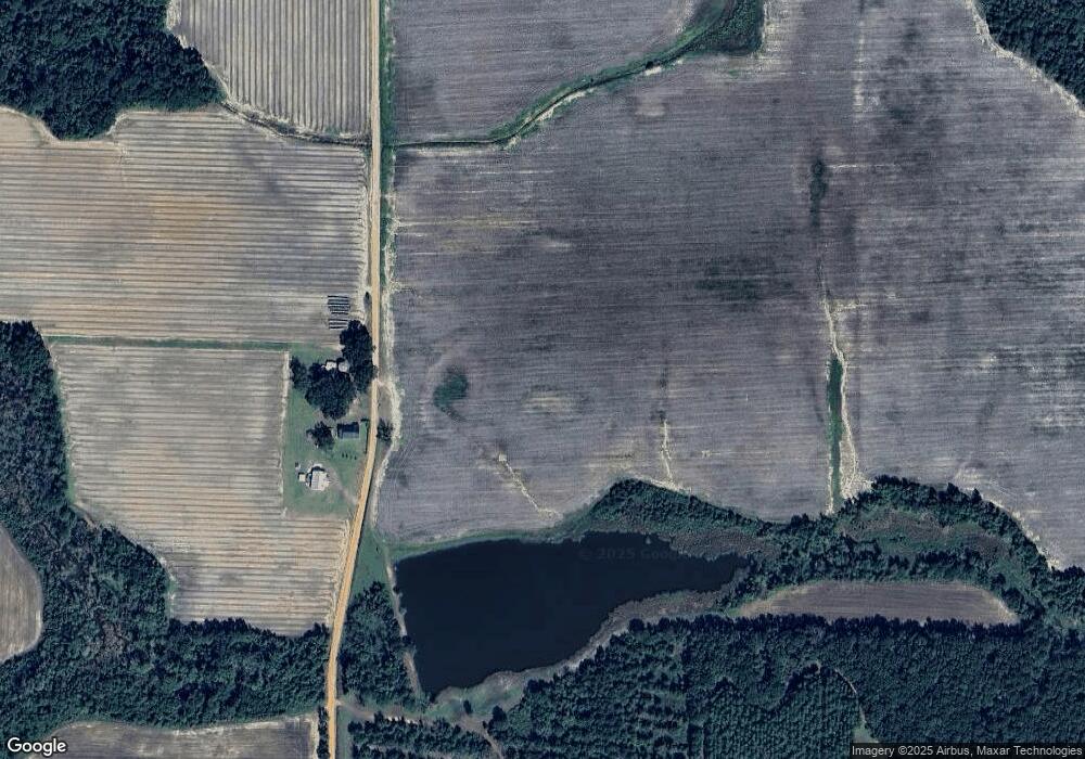
Map
Nearby Homes
- 2156 County Road 78
- 611 Bn S Main St
- 536 N Leaphart St
- 2815 Parker Rd
- 5199 U S 84
- 682 Salem Rd
- Dixie Rd
- 146 Old Highway 84 W
- 9900 Ozell Rd
- 431 Dry Lake Rd
- 2434 Dunn Rd
- 804 Westlake Dr
- 5036 Hamlin Rd
- 309 Eastlake Dr
- 1001 W Bartow St
- 0 Madison Hwy Unit 25939703
- 0 Madison Hwy Unit 147194
- 901 W Boundary St
- 0 W Swamp St
- 489 Ashville Highlands Dr
- 1388 Beasley Rd
- 1023 Beasley Rd
- 1392 Beasley Rd
- 1434 Beasley Rd
- 737 Liberty Church Rd
- 612 Boles Rd
- 1027 Liberty Church Rd
- 1535 Beasley Rd
- 1656 Beasley Rd
- 600 Liberty Church Rd
- 1389 Grooverville Rd
- 360 Liberty Church Rd
- 207 Ferris Rd
- 1166 Liberty Church Rd
- 1567 Schmoe Rd
- 1545 Grooverville Rd
- 1489 Ramsey Rd
- 173 Liberty Church Rd
- 1567 Grooverville Rd
- 1969 Grooverville Rd
Your Personal Tour Guide
Ask me questions while you tour the home.