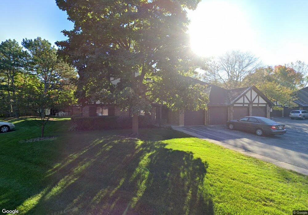
1065 Creekside Ct Unit 1A Wheeling, IL 60090
Estimated Value: $200,895 - $282,000
2
Beds
--
Bath
9,960
Sq Ft
$26/Sq Ft
Est. Value
About This Home
This home is located at 1065 Creekside Ct Unit 1A, Wheeling, IL 60090 and is currently estimated at $254,724, approximately $25 per square foot. 1065 Creekside Ct Unit 1A is a home located in Cook County with nearby schools including Dwight D Eisenhower Elementary School, Anne Sullivan Elementary School, and Betsy Ross Elementary School.
Ownership History
Date
Name
Owned For
Owner Type
Purchase Details
Closed on
May 31, 2001
Sold by
Tufano Josephine and Tufano Josephine Declaration O
Bought by
Wilhelm Lisa A
Current Estimated Value
Home Financials for this Owner
Home Financials are based on the most recent Mortgage that was taken out on this home.
Original Mortgage
$151,525
Outstanding Balance
$55,142
Interest Rate
7.18%
Estimated Equity
$199,582
Create a Home Valuation Report for This Property
The Home Valuation Report is an in-depth analysis detailing your home's value as well as a comparison with similar homes in the area
Home Values in the Area
Average Home Value in this Area
Purchase History
| Date | Buyer | Sale Price | Title Company |
|---|---|---|---|
| Wilhelm Lisa A | $159,500 | -- |
Source: Public Records
Mortgage History
| Date | Status | Borrower | Loan Amount |
|---|---|---|---|
| Open | Wilhelm Lisa A | $151,525 |
Source: Public Records
Tax History
| Year | Tax Paid | Tax Assessment Tax Assessment Total Assessment is a certain percentage of the fair market value that is determined by local assessors to be the total taxable value of land and additions on the property. | Land | Improvement |
|---|---|---|---|---|
| 2025 | $3,553 | $22,081 | $4,593 | $17,488 |
| 2024 | $3,553 | $15,277 | $4,210 | $11,067 |
| 2023 | $3,370 | $15,277 | $4,210 | $11,067 |
| 2022 | $3,370 | $15,277 | $4,210 | $11,067 |
| 2021 | $3,540 | $14,026 | $478 | $13,548 |
| 2020 | $3,518 | $14,026 | $478 | $13,548 |
| 2019 | $3,527 | $15,636 | $478 | $15,158 |
| 2018 | $2,333 | $10,808 | $382 | $10,426 |
| 2017 | $2,319 | $10,808 | $382 | $10,426 |
| 2016 | $2,411 | $10,808 | $382 | $10,426 |
| 2015 | $2,409 | $10,244 | $1,817 | $8,427 |
| 2014 | $2,365 | $10,244 | $1,817 | $8,427 |
| 2013 | $2,270 | $10,244 | $1,817 | $8,427 |
Source: Public Records
Map
Nearby Homes
- 1014 Lakeland Ct Unit 2A
- 1025 Cottonwood Ct Unit 2AR
- 1030 Cottonwood Ct Unit 2A
- 2126 E Waverly Ln
- 2604 N Prindle Ave
- 791 Lakeside Circle Dr Unit 1
- 2643 N Prindle Ave
- 1810 E Waverly Dr
- 2014 N Stillwater Rd Unit 108
- 709 Lakeside Circle Dr Unit 2
- 2812 Jackson Dr
- 2822 Jackson Dr
- 2012 N Silver Lake Rd Unit 105
- 1211 Highland Dr
- 2454 E Hunter Dr Unit 93
- 307 Anne Ct
- 1636 E Jonquil Terrace
- 2439 N Windsor Dr
- 2207 E Michael Manor Ln
- 3026 Jackson Dr
- 1065 Creekside Ct Unit 2B
- 1065 Creekside Ct Unit 1B
- 1065 Creekside Ct Unit 2A
- 1066 Creekside Ct Unit 2B
- 1066 Creekside Ct Unit 1AR
- 1066 Creekside Ct Unit 2BR
- 1066 Creekside Ct Unit 2AR
- 1066 Creekside Ct Unit 1BR
- 1066 Creekside Ct Unit 1-B
- 1074 Cornell Ave Unit 1AR
- 1074 Cornell Ave Unit 2BR
- 1074 Cornell Ave Unit 2AR
- 1074 Cornell Ave Unit 1BR
- 1074 Cornell Ave Unit 2A
- 1074 Cornell Ave Unit 2B
- 1074 Cornell Ave Unit 1A
- 1074 Cornell Ave Unit 1B
- 1084 Cornell Ave Unit 1BL
- 1084 Cornell Ave Unit 2BL
- 1084 Cornell Ave Unit 2AL
Your Personal Tour Guide
Ask me questions while you tour the home.