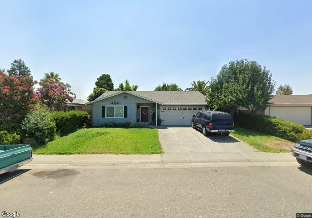
1065 Date St Orland, CA 95963
Estimated Value: $310,044 - $337,000
3
Beds
2
Baths
1,195
Sq Ft
$273/Sq Ft
Est. Value
About This Home
This home is located at 1065 Date St, Orland, CA 95963 and is currently estimated at $325,761, approximately $272 per square foot. 1065 Date St is a home located in Glenn County with nearby schools including Mill Street Elementary School, Fairview Elementary School, and Price Intermediate School.
Ownership History
Date
Name
Owned For
Owner Type
Purchase Details
Closed on
Apr 21, 2004
Sold by
Alvarez Pedro
Bought by
Kattavilayvong Vila and Thitphaneth Pouangmaly
Current Estimated Value
Home Financials for this Owner
Home Financials are based on the most recent Mortgage that was taken out on this home.
Original Mortgage
$78,806
Outstanding Balance
$45,165
Interest Rate
5.86%
Mortgage Type
Unknown
Estimated Equity
$280,596
Create a Home Valuation Report for This Property
The Home Valuation Report is an in-depth analysis detailing your home's value as well as a comparison with similar homes in the area
Purchase History
| Date | Buyer | Sale Price | Title Company |
|---|---|---|---|
| Kattavilayvong Vila | $79,000 | North State Title Co |
Source: Public Records
Mortgage History
| Date | Status | Borrower | Loan Amount |
|---|---|---|---|
| Open | Kattavilayvong Vila | $78,806 |
Source: Public Records
Tax History
| Year | Tax Paid | Tax Assessment Tax Assessment Total Assessment is a certain percentage of the fair market value that is determined by local assessors to be the total taxable value of land and additions on the property. | Land | Improvement |
|---|---|---|---|---|
| 2025 | $2,264 | $213,113 | $49,756 | $163,357 |
| 2024 | $2,264 | $208,935 | $48,781 | $160,154 |
| 2023 | $2,214 | $204,839 | $47,825 | $157,014 |
| 2022 | $2,032 | $188,053 | $48,000 | $140,053 |
| 2021 | $1,868 | $170,957 | $43,463 | $127,494 |
| 2020 | $1,714 | $155,416 | $39,512 | $115,904 |
| 2019 | $1,575 | $141,288 | $35,920 | $105,368 |
| 2018 | $1,403 | $132,046 | $33,571 | $98,475 |
| 2017 | $1,412 | $125,759 | $31,973 | $93,786 |
| 2016 | $1,332 | $123,900 | $31,500 | $92,400 |
| 2015 | -- | $118,000 | $30,000 | $88,000 |
| 2014 | $1,206 | $112,374 | $28,449 | $83,925 |
Source: Public Records
Map
Nearby Homes
- 906 Almond Way
- 782 Jacquelyn Dr
- 737 Lynn Dr
- 1019 W Monterey St
- 634 Salomon Dr
- 0 Hoff Way
- 1158 Hoff Way
- 100 Frances Ln
- 6400 County Road Hh
- 4426 Commerce Ln
- 736 8th St
- 303 Colusa St
- 929 3rd St
- 0 South St Unit SN23178337
- 810 East St
- 4371 County Road H
- 919 East St
- 65 E Colusa St
- 104 South St
- 246 E Shasta St
- 1081 Date St
- 1049 Date St
- 1064 Winterpine Dr
- 1082 Winterpine Dr
- 1048 Winterpine Dr
- 1033 Date St
- 1097 Date St
- 1096 Winterpine Dr
- 1032 Winterpine Dr
- 1068 Date St
- 1084 Date St
- 1052 Date St
- 1017 Date St
- 1036 Date St
- 1098 Date St
- 1016 Winterpine Dr
- 1020 Date St
- 1001 Date St
- 1067 Winterpine Dr
- 1004 Winterpine Dr
Your Personal Tour Guide
Ask me questions while you tour the home.