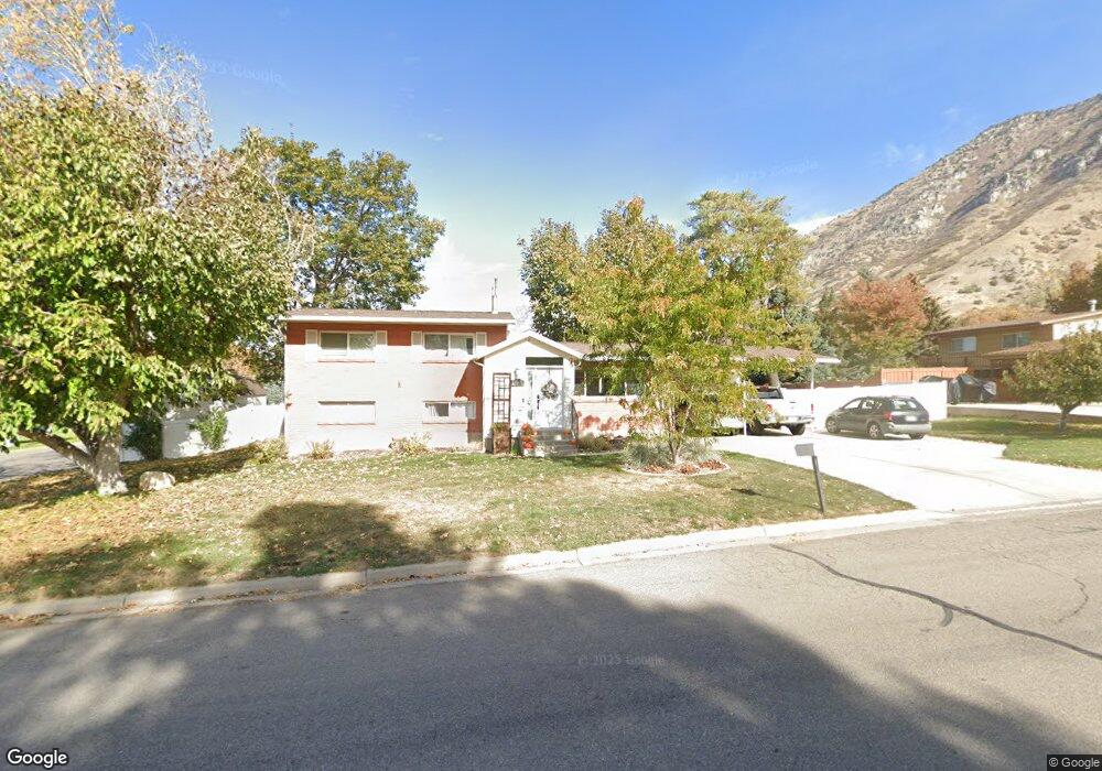
1065 E 2620 N Provo, UT 84604
Rock Canyon NeighborhoodEstimated Value: $528,000 - $538,000
4
Beds
4
Baths
1,930
Sq Ft
$276/Sq Ft
Est. Value
About This Home
This home is located at 1065 E 2620 N, Provo, UT 84604 and is currently estimated at $532,030, approximately $275 per square foot. 1065 E 2620 N is a home located in Utah County with nearby schools including Rock Canyon Elementary School, Centennial Middle School, and Timpview High School.
Ownership History
Date
Name
Owned For
Owner Type
Purchase Details
Closed on
Jul 30, 2014
Sold by
Dewey Ryan P and Dewey Melanie Q
Bought by
Luke Steven Garet and Luke Rachel Eve
Current Estimated Value
Home Financials for this Owner
Home Financials are based on the most recent Mortgage that was taken out on this home.
Original Mortgage
$213,750
Outstanding Balance
$163,106
Interest Rate
4.13%
Mortgage Type
New Conventional
Estimated Equity
$368,924
Purchase Details
Closed on
Nov 13, 2012
Sold by
Dewey Ryan and Dewey Melanie Quinn
Bought by
Dewey Ryan P and Dewey Melanie Q
Purchase Details
Closed on
May 3, 2004
Sold by
Jeraldene Swalberg Family Inter Vivos Re and Swalberg Jeraldene
Bought by
Dewey Ryan and Dewey Melanie Quinn
Purchase Details
Closed on
Nov 21, 1996
Sold by
Swalberg Jeraldene
Bought by
Jeraldene Swalberg Family Inter Vivos Re
Create a Home Valuation Report for This Property
The Home Valuation Report is an in-depth analysis detailing your home's value as well as a comparison with similar homes in the area
Home Values in the Area
Average Home Value in this Area
Purchase History
| Date | Buyer | Sale Price | Title Company |
|---|---|---|---|
| Luke Steven Garet | -- | United West Title | |
| Dewey Ryan P | -- | None Available | |
| Dewey Ryan | -- | First American Title Agency | |
| Jeraldene Swalberg Family Inter Vivos Re | -- | Provo Land Title |
Source: Public Records
Mortgage History
| Date | Status | Borrower | Loan Amount |
|---|---|---|---|
| Open | Luke Steven Garet | $213,750 |
Source: Public Records
Tax History
| Year | Tax Paid | Tax Assessment Tax Assessment Total Assessment is a certain percentage of the fair market value that is determined by local assessors to be the total taxable value of land and additions on the property. | Land | Improvement |
|---|---|---|---|---|
| 2025 | $2,504 | $259,655 | -- | -- |
| 2024 | $2,504 | $246,510 | $0 | $0 |
| 2023 | $2,434 | $236,170 | $0 | $0 |
| 2022 | $2,370 | $231,935 | $0 | $0 |
| 2021 | $1,947 | $332,200 | $200,800 | $131,400 |
| 2020 | $1,896 | $303,400 | $174,600 | $128,800 |
| 2019 | $1,723 | $286,600 | $174,600 | $112,000 |
| 2018 | $1,518 | $256,200 | $158,800 | $97,400 |
| 2017 | $1,443 | $133,815 | $0 | $0 |
| 2016 | $1,322 | $114,290 | $0 | $0 |
| 2015 | $1,191 | $104,005 | $0 | $0 |
| 2014 | $1,118 | $101,805 | $0 | $0 |
Source: Public Records
Map
Nearby Homes
- 1105 E 2620 N
- 2660 N 1060 E
- 1080 E 2680 N
- 1082 E 2620 N
- 1119 E 2620 N Unit E
- 1096 E 2620 N
- 1043 E 2620 N
- 1100 E 2680 N
- 2675 N 1060 E
- 1052 E 2620 N
- 1120 E 2680 N
- 1097 E 2570 N
- 1021 E 2620 N
- 1133 E 2620 N Unit E
- 1124 E 2620 N Unit 10
- 1028 E 2680 N
- 1036 E 2620 N
- 2587 N 1060 E
- 1115 E 2570 N
- 1149 E 2620 N
Your Personal Tour Guide
Ask me questions while you tour the home.