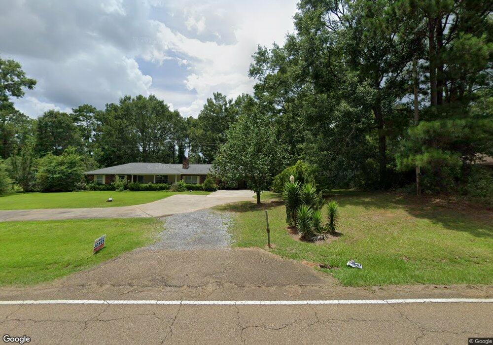
1065 Highway 570 E McComb, MS 39648
Estimated Value: $189,000 - $216,000
4
Beds
2
Baths
1,770
Sq Ft
$114/Sq Ft
Est. Value
About This Home
This home is located at 1065 Highway 570 E, McComb, MS 39648 and is currently estimated at $202,109, approximately $114 per square foot. 1065 Highway 570 E is a home located in Pike County with nearby schools including North Pike Elementary School, North Pike Middle School, and North Pike Senior High School.
Ownership History
Date
Name
Owned For
Owner Type
Purchase Details
Closed on
Feb 18, 2021
Sold by
Hughes Inez Martin
Bought by
Canton Treasure K
Current Estimated Value
Home Financials for this Owner
Home Financials are based on the most recent Mortgage that was taken out on this home.
Original Mortgage
$151,515
Outstanding Balance
$135,085
Interest Rate
2.65%
Mortgage Type
New Conventional
Estimated Equity
$67,024
Purchase Details
Closed on
Mar 28, 2019
Sold by
Hughes Carl Rogers and Hughes Inez Martin
Bought by
Hughes Inez Martin
Create a Home Valuation Report for This Property
The Home Valuation Report is an in-depth analysis detailing your home's value as well as a comparison with similar homes in the area
Purchase History
| Date | Buyer | Sale Price | Title Company |
|---|---|---|---|
| Canton Treasure K | -- | None Available | |
| Hughes Inez Martin | -- | None Available |
Source: Public Records
Mortgage History
| Date | Status | Borrower | Loan Amount |
|---|---|---|---|
| Open | Canton Treasure K | $151,515 |
Source: Public Records
Tax History
| Year | Tax Paid | Tax Assessment Tax Assessment Total Assessment is a certain percentage of the fair market value that is determined by local assessors to be the total taxable value of land and additions on the property. | Land | Improvement |
|---|---|---|---|---|
| 2025 | $1,956 | $14,448 | $0 | $0 |
| 2024 | $1,676 | $12,199 | $0 | $0 |
| 2023 | $1,640 | $12,199 | $0 | $0 |
| 2022 | $1,617 | $12,199 | $0 | $0 |
| 2021 | $84 | $8,132 | $0 | $0 |
| 2020 | $114 | $8,471 | $0 | $0 |
| 2019 | $112 | $8,361 | $0 | $0 |
| 2018 | $111 | $8,361 | $0 | $0 |
| 2017 | $108 | $8,361 | $0 | $0 |
| 2016 | $74 | $8,170 | $0 | $0 |
| 2015 | $58 | $8,030 | $0 | $0 |
| 2014 | $56 | $8,029 | $0 | $0 |
| 2013 | -- | $8,029 | $0 | $0 |
Source: Public Records
Map
Nearby Homes
- 1086 Mississippi 570
- XXX Brewer Ln
- 0 Summit Holmesville Rd
- 415 N Magnolia St
- 1002 Avenue F None
- 1025 Clover Ln
- 1002 Avenue F
- 122 Denwiddie Ave
- 143 N Myrtle St
- 133 N Live Oak St
- 1011 Eastover Ln
- 1031 Pearl River Ave
- 1019 Pearl River Avenue Extension
- 136 W New York Ave
- 315 Kentucky Ave
- 804 North St
- 219 S Live Oak St
- 333 W Georgia Ave
- 800 Jackson Ave
- 900 N James Ave
- 1065 Highway 570 E
- 1075 Highway 570 E
- 1061 Highway 570 E
- 1060 Hwy 570 N
- 1055 Highway 570 E
- 1078 Highway 570 E
- 2073 Summit-Hville Rd
- 2059 Summit-Hville Rd
- 1068 Highway 570 E
- 1041 Hwy 570e
- 2038 Summit Holmesville Rd
- 1086 Highway 570 E
- 00 Brewer Ln
- 0 Brewer Ln
- xx Brewer Ln
- 2052 Summit-Hville Rd
- 1170 Higgins Dr
- 1161 Higgins Dr
- 1023 Brewers Ln
- 2035 Summit-Hville Rd
Your Personal Tour Guide
Ask me questions while you tour the home.