1065 Payne Rd Portland, TN 37148
Estimated Value: $257,000 - $348,000
--
Bed
1
Bath
1,578
Sq Ft
$190/Sq Ft
Est. Value
About This Home
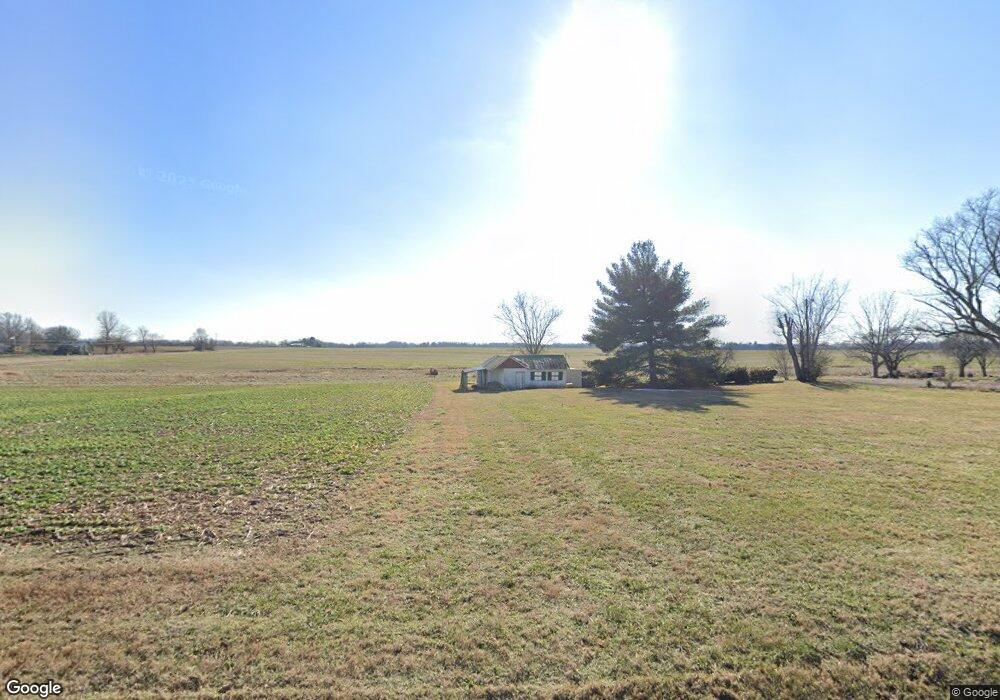
This home is located at 1065 Payne Rd, Portland, TN 37148 and is currently estimated at $299,633, approximately $189 per square foot. 1065 Payne Rd is a home located in Sumner County with nearby schools including Portland Gateview Elementary School, Portland West Middle School, and Portland High School.
Ownership History
Date
Name
Owned For
Owner Type
Purchase Details
Closed on
May 12, 2016
Sold by
Collins Randall M and Randall M Collins Farm Trust
Bought by
1065 Payne Road Llc
Current Estimated Value
Purchase Details
Closed on
Apr 9, 2013
Sold by
Collins Frances
Bought by
Frances V Collins Living Trust
Purchase Details
Closed on
Mar 15, 2013
Sold by
Fotenopulos Pam and Green Deobrah
Bought by
Collins Frances
Purchase Details
Closed on
Mar 7, 2005
Sold by
Leath Wilma
Bought by
Evans Pam and Green Deborah
Create a Home Valuation Report for This Property
The Home Valuation Report is an in-depth analysis detailing your home's value as well as a comparison with similar homes in the area
Home Values in the Area
Average Home Value in this Area
Purchase History
| Date | Buyer | Sale Price | Title Company |
|---|---|---|---|
| 1065 Payne Road Llc | -- | None Available | |
| Randall M Collins Farm Trust | -- | None Available | |
| Frances V Collins Living Trust | -- | None Available | |
| Collins Frances | -- | None Available | |
| Evans Pam | -- | -- |
Source: Public Records
Tax History Compared to Growth
Tax History
| Year | Tax Paid | Tax Assessment Tax Assessment Total Assessment is a certain percentage of the fair market value that is determined by local assessors to be the total taxable value of land and additions on the property. | Land | Improvement |
|---|---|---|---|---|
| 2024 | $897 | $63,100 | $28,125 | $34,975 |
| 2023 | $676 | $30,025 | $9,525 | $20,500 |
| 2022 | $679 | $30,025 | $9,525 | $20,500 |
| 2021 | $679 | $30,025 | $9,525 | $20,500 |
| 2020 | $679 | $30,025 | $9,525 | $20,500 |
| 2019 | $679 | $0 | $0 | $0 |
| 2018 | $476 | $0 | $0 | $0 |
| 2017 | $476 | $0 | $0 | $0 |
| 2016 | $476 | $0 | $0 | $0 |
| 2015 | -- | $0 | $0 | $0 |
| 2014 | -- | $0 | $0 | $0 |
Source: Public Records
Map
Nearby Homes
- 1035 Gateview Dr
- 101 Lorelle Cir
- 482 Austin Branch Rd
- 825B College St
- 0 Searcy Ln Unit RTC2756307
- 1502 New Deal Potts Rd
- 784 College St
- 151 N Harris Rd
- 0 W Harper Rd Unit RTC3031920
- 0 W Harper Rd Unit RTC3043576
- 0 W Harper Rd Unit RTC3031918
- 0 W Harper Rd Unit RTC3031917
- 0 W Harper Rd Unit RTC3031919
- 0 W Harper Rd Unit RTC3031921
- 284 Clubbs Rd
- 211 Amy Dr
- 844 College St
- 104 Buena Vista Dr
- 300 N Happy Hollow Rd
- 562 N Harris Rd
- 1162 Payne Rd
- 1080 Payne Rd
- 1074 Payne Rd
- 125 Austin Branch Rd
- 220 Kerr Way
- 1090 Payne Rd
- 180 Austin Branch Rd
- 1130 Payne Rd
- 1135 Payne Rd
- 262 Collins Rd
- 901 Payne Rd
- 1150 Payne Rd
- 1152 Payne Rd
- 1154 Payne Rd
- 1160 Payne Rd
- 1156 Payne Rd
- 258 Austin Branch Rd
- 1077 Gateview Dr
- 1158 Payne Rd
- 1155 Payne Rd