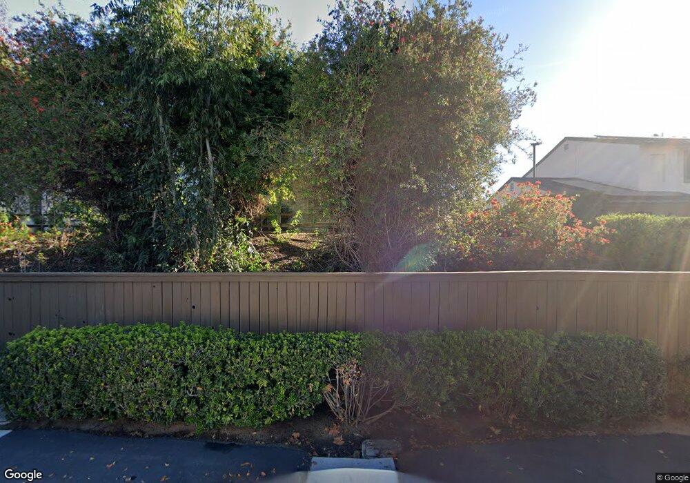
10657 King Phillip Ct Santee, CA 92071
Estimated Value: $564,620 - $624,000
3
Beds
2
Baths
1,286
Sq Ft
$467/Sq Ft
Est. Value
About This Home
This home is located at 10657 King Phillip Ct, Santee, CA 92071 and is currently estimated at $600,405, approximately $466 per square foot. 10657 King Phillip Ct is a home located in San Diego County with nearby schools including Cajon Park Elementary School, Santana High School, and River Valley Charter School.
Ownership History
Date
Name
Owned For
Owner Type
Purchase Details
Closed on
Mar 14, 2020
Sold by
Shneyder Sofia and Shneyder Alexandera L
Bought by
Shneyder Sofia
Current Estimated Value
Purchase Details
Closed on
Nov 11, 2009
Sold by
Shneyder Larisa and Shneyder Sofia
Bought by
Shneyder Larisa and Shneyder Sofia
Purchase Details
Closed on
Nov 25, 2000
Sold by
Shneyder and Sofia
Bought by
Shneyder Alexander and Shneyder Sofia
Purchase Details
Closed on
Dec 16, 1988
Purchase Details
Closed on
Dec 20, 1983
Create a Home Valuation Report for This Property
The Home Valuation Report is an in-depth analysis detailing your home's value as well as a comparison with similar homes in the area
Home Values in the Area
Average Home Value in this Area
Purchase History
| Date | Buyer | Sale Price | Title Company |
|---|---|---|---|
| Shneyder Sofia | -- | None Available | |
| Shneyder Larisa | -- | None Available | |
| Shneyder Alexander | -- | -- | |
| -- | $82,000 | -- | |
| -- | $65,000 | -- |
Source: Public Records
Tax History Compared to Growth
Tax History
| Year | Tax Paid | Tax Assessment Tax Assessment Total Assessment is a certain percentage of the fair market value that is determined by local assessors to be the total taxable value of land and additions on the property. | Land | Improvement |
|---|---|---|---|---|
| 2025 | $2,478 | $200,185 | $94,319 | $105,866 |
| 2024 | $2,478 | $196,261 | $92,470 | $103,791 |
| 2023 | $4,041 | $332,570 | $164,240 | $168,330 |
| 2022 | $3,928 | $326,050 | $161,020 | $165,030 |
| 2021 | $3,872 | $319,658 | $157,863 | $161,795 |
| 2020 | $1,840 | $149,647 | $51,649 | $97,998 |
| 2019 | $1,777 | $146,714 | $50,637 | $96,077 |
| 2018 | $1,739 | $143,839 | $49,645 | $94,194 |
| 2017 | $1,715 | $141,020 | $48,672 | $92,348 |
| 2016 | $1,663 | $138,256 | $47,718 | $90,538 |
| 2015 | $1,640 | $136,181 | $47,002 | $89,179 |
| 2014 | $1,607 | $133,515 | $46,082 | $87,433 |
Source: Public Records
Map
Nearby Homes
- 10313 Princess Marcie Dr
- 10784 N Magnolia Ave Unit H2
- 10784 N Magnolia Ave Unit H8
- 10306 Princess Joann Rd
- 10232 Princess Sarit Way
- 10525 Flora Verda Ct
- 11009 Summit Ave Unit n/a
- 11009 Summit Ave
- 11025 Summit Ave
- 11025 Summit Ave Unit n/a
- 10005 White Pine Ln
- 10118 Cedar Springs Dr
- 10209 Maple Tree Rd
- 10252 Casa Ct
- 10520 El Nopal
- 10321 Hitching Post Way Unit 5
- 11132 Summit Ave
- 10138 Waynecrest Ln
- 10165 W Glendon Cir
- 10143 Allenwood Way
- 10659 King Phillip Ct
- 10661 King Phillip Ct
- 10649 King Phillip Ct
- 10663 King Phillip Ct
- 10647 King Phillip Ct
- 10656 Prince Carlos Ln
- 10645 King Phillip Ct
- 10660 King Phillip Ct
- 10667 King Phillip Ct
- 10656 King Phillip Ct
- 10658 Prince Carlos Ln Unit 1
- 10662 King Phillip Ct
- 10643 King Phillip Ct
- 10658 King Phillip Ct
- 10650 King Phillip Ct
- 10654 King Phillip Ct
- 10660 Prince Carlos Ln
- 10641 King Phillip Ct
- 10664 King Phillip Ct
- 10646 King Phillip Ct
