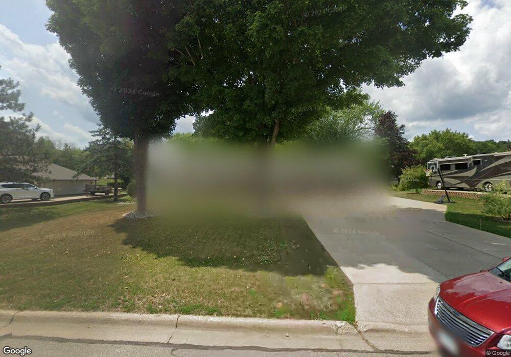
1066 Cottonwood Ave Red Wing, MN 55066
Estimated Value: $322,000 - $353,000
3
Beds
2
Baths
2,522
Sq Ft
$135/Sq Ft
Est. Value
About This Home
This home is located at 1066 Cottonwood Ave, Red Wing, MN 55066 and is currently estimated at $339,558, approximately $134 per square foot. 1066 Cottonwood Ave is a home located in Goodhue County with nearby schools including Burnside Elementary School, Sunnyside Elementary School, and Twin Bluff Middle School.
Ownership History
Date
Name
Owned For
Owner Type
Purchase Details
Closed on
Jul 15, 2020
Sold by
Parsons Scott M and Parsons Anne
Bought by
Florine Edward L and Florine Kelly M
Current Estimated Value
Home Financials for this Owner
Home Financials are based on the most recent Mortgage that was taken out on this home.
Original Mortgage
$200,000
Outstanding Balance
$177,347
Interest Rate
3.1%
Mortgage Type
New Conventional
Estimated Equity
$162,211
Create a Home Valuation Report for This Property
The Home Valuation Report is an in-depth analysis detailing your home's value as well as a comparison with similar homes in the area
Home Values in the Area
Average Home Value in this Area
Purchase History
| Date | Buyer | Sale Price | Title Company |
|---|---|---|---|
| Florine Edward L | $250,000 | Knight Barry Ttl United Llc |
Source: Public Records
Mortgage History
| Date | Status | Borrower | Loan Amount |
|---|---|---|---|
| Open | Florine Edward L | $200,000 |
Source: Public Records
Tax History Compared to Growth
Tax History
| Year | Tax Paid | Tax Assessment Tax Assessment Total Assessment is a certain percentage of the fair market value that is determined by local assessors to be the total taxable value of land and additions on the property. | Land | Improvement |
|---|---|---|---|---|
| 2025 | $3,534 | $283,200 | $57,100 | $226,100 |
| 2024 | $3,534 | $279,400 | $57,100 | $222,300 |
| 2023 | $1,769 | $264,400 | $57,100 | $207,300 |
| 2022 | $3,162 | $262,700 | $57,100 | $205,600 |
| 2021 | $2,944 | $225,700 | $57,100 | $168,600 |
| 2020 | $2,922 | $214,400 | $57,100 | $157,300 |
| 2019 | $2,920 | $200,300 | $57,100 | $143,200 |
| 2018 | $2,364 | $202,300 | $55,100 | $147,200 |
| 2017 | $2,312 | $178,800 | $55,100 | $123,700 |
| 2016 | $2,116 | $177,300 | $55,100 | $122,200 |
| 2015 | $2,038 | $171,300 | $55,100 | $116,200 |
| 2014 | -- | $164,900 | $55,100 | $109,800 |
Source: Public Records
Map
Nearby Homes
- 1056 Birch Ave
- 912 Aurora Cir
- 936 Aurora Cir
- 853 Aurora Cir
- 4739 Big Sky Ct
- 980 Aurora Cir
- 921 Snowbird Dr
- 808 Aurora Cir
- 914 Snowbird Dr
- 910 Snowbird Dr
- 4786 Mount Hood Ln
- 906 Snowbird Dr
- 135 Kingswood Dr
- 4958 Chalet Ct
- 4990 Chalet Ct
- 4994 Chalet Ct
- 4986 Chalet Ct
- 4976 Chalet Ct
- TBD Mill Rd
- 232 Fern Ave
- 1056 Cottonwood Ave
- 1078 Cottonwood Ave
- 1067 Birch Ave
- 1057 Birch Ave
- 1079 Birch Ave
- 1067 Cottonwood Ave
- 1046 Cottonwood Ave
- 1057 Cottonwood Ave
- 1039 Birch Ave
- 1079 Cottonwood Ave
- 1047 Birch Ave
- 1047 Cottonwood Ave
- 1036 Cottonwood Ave
- 1037 Birch Ave
- 1066 Birch Ave
- 1078 Birch Ave
- 1046 Birch Ave
- 1037 Cottonwood Ave
- 1029 Birch Ave
- 1036 Birch Ave