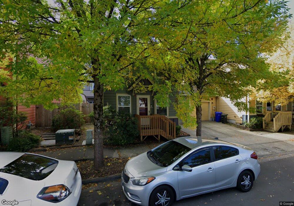
1066 NE 6th St Gresham, OR 97030
Downtown Gresham NeighborhoodEstimated Value: $330,000 - $384,000
Studio
2
Baths
1,632
Sq Ft
$216/Sq Ft
Est. Value
About This Home
This home is located at 1066 NE 6th St, Gresham, OR 97030 and is currently estimated at $352,308, approximately $215 per square foot. 1066 NE 6th St is a home located in Multnomah County with nearby schools including East Gresham Elementary School, Dexter McCarty Middle School, and Gresham High School.
Ownership History
Date
Name
Owned For
Owner Type
Purchase Details
Closed on
Jun 2, 2008
Sold by
Dodson Carey Robin
Bought by
Dodson Carey Robin and Carey Robin Dodson Living Trust
Current Estimated Value
Purchase Details
Closed on
Dec 15, 2006
Sold by
Dodson C Robin
Bought by
Dodson Cary Robin
Purchase Details
Closed on
Apr 13, 2006
Sold by
Walker Lee Ann
Bought by
Walker Lee Ann and Walker Living Trust
Purchase Details
Closed on
Sep 13, 2005
Sold by
Ostercraft Inc
Bought by
Walker Lee Ann
Create a Home Valuation Report for This Property
The Home Valuation Report is an in-depth analysis detailing your home's value as well as a comparison with similar homes in the area
Home Values in the Area
Average Home Value in this Area
Purchase History
| Date | Buyer | Sale Price | Title Company |
|---|---|---|---|
| Dodson Carey Robin | -- | None Available | |
| Dodson Cary Robin | -- | None Available | |
| Walker Lee Ann | -- | None Available | |
| Walker Lee Ann | $189,950 | Pacific Nw Title |
Source: Public Records
Tax History
| Year | Tax Paid | Tax Assessment Tax Assessment Total Assessment is a certain percentage of the fair market value that is determined by local assessors to be the total taxable value of land and additions on the property. | Land | Improvement |
|---|---|---|---|---|
| 2025 | $3,830 | $188,200 | -- | -- |
| 2024 | $3,666 | $182,720 | -- | -- |
| 2023 | $3,340 | $177,400 | $0 | $0 |
| 2022 | $3,247 | $172,240 | $0 | $0 |
| 2021 | $3,165 | $167,230 | $0 | $0 |
| 2020 | $2,978 | $162,360 | $0 | $0 |
| 2019 | $2,900 | $157,640 | $0 | $0 |
| 2018 | $2,765 | $153,050 | $0 | $0 |
| 2017 | $2,653 | $148,600 | $0 | $0 |
| 2016 | $2,339 | $144,280 | $0 | $0 |
Source: Public Records
Map
Nearby Homes
- 0 NE 6th St
- 234 NE Cleveland Ave
- 894 NE Linden Ave
- 491 NE Elliott Ave
- 660 NE 9th St
- 4740 SE 2nd St
- 4764 SE 2nd St
- 4667 SE 2nd St
- 318 NE Roberts Ave Unit 308
- 318 NE Roberts Ave Unit 203
- 900 NE Francis Ave Unit 29
- 900 NE Francis Ave
- 900 NE Francis Ave Unit 63
- 1302 NE Hogan Dr
- 1308 NE Hogan Dr Unit 166
- 0 NE 5th St
- 1514 NE Hogan Dr Unit 131
- 1715 SE 5th St Unit 1725
- 415 SE Roberts Ave
- 417 SE Roberts Ave
- 1104 NE 6th St
- 1054 NE 6th St
- 1033 NE 5th St
- 1033 NE 5th St Unit 56
- 1116 NE 6th St
- 1028 NE 6th St
- 1124 NE 6th St
- 1055 NE 5th St
- 1055 NE 5th St Unit 55
- 1109 NE 5th St
- 532 NE Cleveland Ave Unit 1
- 1073 NE 5th St Unit 54
- 1132 NE 6th St
- 526 NE Cleveland Ave Unit 2
- 1012 NE 6th St
- 1117 NE 5th St
- 518 NE Cleveland Ave Unit 3
- 518 NE Cleveland Ave
- 1138 NE 6th St
- 512 NE Cleveland Ave Unit 4
Your Personal Tour Guide
Ask me questions while you tour the home.