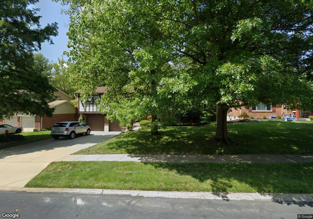
10669 Silverbrook Dr Cincinnati, OH 45240
New Burlington NeighborhoodEstimated Value: $278,014 - $340,000
3
Beds
3
Baths
1,936
Sq Ft
$162/Sq Ft
Est. Value
About This Home
This home is located at 10669 Silverbrook Dr, Cincinnati, OH 45240 and is currently estimated at $313,254, approximately $161 per square foot. 10669 Silverbrook Dr is a home located in Hamilton County with nearby schools including Mt Healthy High School, Hamilton County Mathematics and Science Academy, and Central Montessori Academy.
Ownership History
Date
Name
Owned For
Owner Type
Purchase Details
Closed on
Oct 31, 2024
Sold by
Popen Karen Marie
Bought by
Popen Bryan
Current Estimated Value
Home Financials for this Owner
Home Financials are based on the most recent Mortgage that was taken out on this home.
Original Mortgage
$165,000
Outstanding Balance
$162,659
Interest Rate
6.08%
Mortgage Type
New Conventional
Estimated Equity
$150,595
Create a Home Valuation Report for This Property
The Home Valuation Report is an in-depth analysis detailing your home's value as well as a comparison with similar homes in the area
Home Values in the Area
Average Home Value in this Area
Purchase History
| Date | Buyer | Sale Price | Title Company |
|---|---|---|---|
| Popen Bryan | $220,000 | None Listed On Document |
Source: Public Records
Mortgage History
| Date | Status | Borrower | Loan Amount |
|---|---|---|---|
| Open | Popen Bryan | $165,000 |
Source: Public Records
Tax History
| Year | Tax Paid | Tax Assessment Tax Assessment Total Assessment is a certain percentage of the fair market value that is determined by local assessors to be the total taxable value of land and additions on the property. | Land | Improvement |
|---|---|---|---|---|
| 2025 | $4,279 | $72,552 | $12,348 | $60,204 |
| 2023 | $3,524 | $72,552 | $12,348 | $60,204 |
| 2022 | $3,506 | $54,167 | $12,023 | $42,144 |
| 2021 | $3,400 | $54,167 | $12,023 | $42,144 |
| 2020 | $4,127 | $54,167 | $12,023 | $42,144 |
| 2019 | $3,486 | $42,652 | $9,468 | $33,184 |
| 2018 | $3,506 | $42,652 | $9,468 | $33,184 |
| 2017 | $3,270 | $42,652 | $9,468 | $33,184 |
| 2016 | $3,136 | $40,324 | $8,988 | $31,336 |
| 2015 | $3,161 | $40,324 | $8,988 | $31,336 |
| 2014 | $3,146 | $40,324 | $8,988 | $31,336 |
| 2013 | $3,383 | $44,314 | $9,877 | $34,437 |
Source: Public Records
Map
Nearby Homes
- 10493 Mill Rd
- 10453 Mill Rd
- 1858 Aspenhill Dr
- 1854 Windmill Way
- 1887 Lotushill Dr
- 23 Briarwood Ln
- 1931 Lotushill Dr
- 10908 Tangleberry Ct
- 10945 Crystalhill Ct
- 1958 Bluehill Dr
- 48 Damon Rd
- 6 Belknap Place 1
- 7 Dewitt Ct
- 9 Dewitt Ct
- 11 Dewitt Ct
- 2071 Roosevelt Ave
- 1413 Waycross Rd
- 11 Ashby St
- 6 Chalmers Ct
- 10897 Sprucehill Dr
- 10675 Silverbrook Dr
- 10663 Silverbrook Dr
- 10681 Silverbrook Dr
- 10657 Silverbrook Dr
- 10670 Silverbrook Dr
- 10678 Silverbrook Dr
- 10660 Silverbrook Dr
- 10687 Silverbrook Dr
- 10684 Silverbrook Dr
- 10651 Silverbrook Dr
- 10642 Silverbrook Dr
- 10693 Silverbrook Dr
- 10690 Silverbrook Dr
- 10665 Stargate Ln
- 10671 Stargate Ln
- 10659 Stargate Ln
- 10677 Stargate Ln
- 10699 Silverbrook Dr
- 10696 Silverbrook Dr
- 10645 Stargate Ln
Your Personal Tour Guide
Ask me questions while you tour the home.