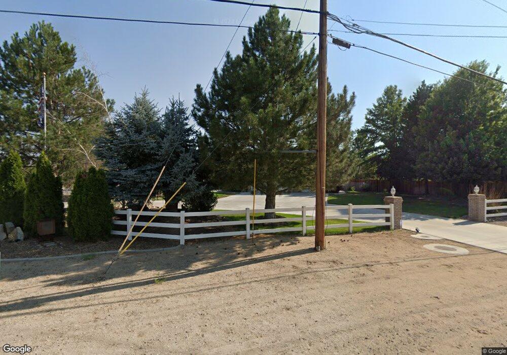
1067 E Roland St Carson City, NV 89701
Stewart NeighborhoodEstimated Value: $741,000 - $1,021,000
3
Beds
3
Baths
2,702
Sq Ft
$326/Sq Ft
Est. Value
About This Home
This home is located at 1067 E Roland St, Carson City, NV 89701 and is currently estimated at $881,000, approximately $326 per square foot. 1067 E Roland St is a home located in Carson City with nearby schools including Al Seeliger Elementary School, Eagle Valley Middle School, and Carson High School.
Ownership History
Date
Name
Owned For
Owner Type
Purchase Details
Closed on
Jan 31, 2025
Sold by
Department Of Transportation
Bought by
Hack Family Trust and Hack
Current Estimated Value
Purchase Details
Closed on
Dec 10, 2024
Sold by
Hack Michael L and Hack Teri L
Bought by
Hack Family Trust and Hack
Purchase Details
Closed on
Jan 6, 2021
Sold by
Hack Michael L and Hack Teri L
Bought by
Hack Michael L and Hack Teri L
Create a Home Valuation Report for This Property
The Home Valuation Report is an in-depth analysis detailing your home's value as well as a comparison with similar homes in the area
Home Values in the Area
Average Home Value in this Area
Purchase History
| Date | Buyer | Sale Price | Title Company |
|---|---|---|---|
| Hack Family Trust | $14,200 | None Listed On Document | |
| Hack Family Trust | -- | None Listed On Document | |
| Hack Michael L | -- | None Listed On Document |
Source: Public Records
Tax History Compared to Growth
Tax History
| Year | Tax Paid | Tax Assessment Tax Assessment Total Assessment is a certain percentage of the fair market value that is determined by local assessors to be the total taxable value of land and additions on the property. | Land | Improvement |
|---|---|---|---|---|
| 2025 | $6,155 | $249,987 | $57,750 | $192,237 |
| 2024 | $6,155 | $253,512 | $57,750 | $195,762 |
| 2023 | $5,976 | $238,298 | $56,000 | $182,298 |
| 2022 | $5,443 | $191,142 | $47,250 | $143,892 |
| 2021 | $5,284 | $181,346 | $42,000 | $139,346 |
| 2020 | $5,284 | $174,725 | $36,750 | $137,975 |
| 2019 | $4,979 | $171,681 | $36,750 | $134,931 |
| 2018 | $4,834 | $164,886 | $33,600 | $131,286 |
| 2017 | $4,694 | $162,470 | $33,600 | $128,870 |
| 2016 | $4,575 | $157,544 | $26,950 | $130,594 |
| 2015 | $4,567 | $147,645 | $23,625 | $124,020 |
| 2014 | $4,434 | $140,946 | $17,500 | $123,446 |
Source: Public Records
Map
Nearby Homes
- 460 E Overland St
- 150 E Roland St Unit BLDG 180-3
- 4139 Hillview Dr
- 3949 Ponderosa Dr
- 4631 Snyder
- 540 Classic Ct
- 1235 Koontz Ln
- 801 Koontz Ln
- 548 Briarwood Dr
- 0000 W Roland St
- 3309 Hickory Dr
- 1312 Coco Dr
- 1300 Coco Dr
- 1282 Coco Dr
- 170 Koontz Ln Unit 137
- 1276 Coco Dr
- 1283 Coco Dr
- Zion Plan at Artemis
- Carlsbad Plan at Artemis
- Bryce Plan at Artemis
- 1049 E Roland St
- 1127 E Roland St
- 1022 E Roland St
- 1153 E Roland St
- 949 E Roland St
- 1130 E Roland St
- 1070 E Roland St
- 1185 E Roland St
- 4949 Ponderosa Dr
- 1156 E Roland St
- 1188 E Roland St
- 950 E Roland St
- 1231 E Roland St
- 1224 E Roland St
- 1033 E Appion Way
- 1267 E Roland St
- 870 E Roland St
- 1260 E Roland St
- 4769 Ponderosa Dr
- 1079 E Appion Way