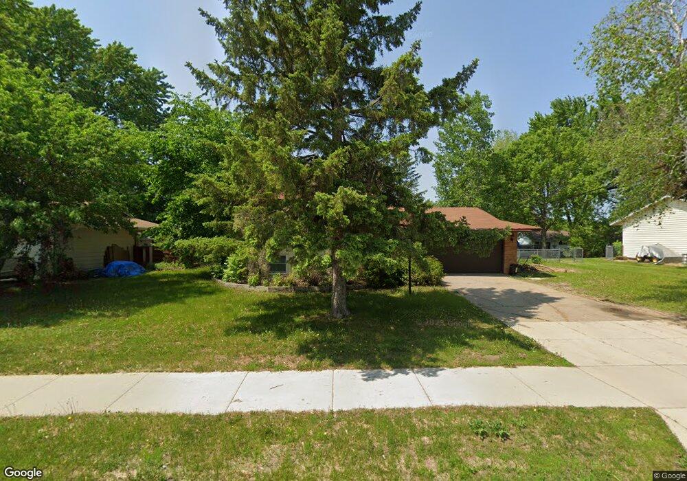
1067 Ramsdell Dr Saint Paul, MN 55124
Old Town NeighborhoodEstimated Value: $348,000 - $372,000
4
Beds
2
Baths
1,082
Sq Ft
$329/Sq Ft
Est. Value
About This Home
This home is located at 1067 Ramsdell Dr, Saint Paul, MN 55124 and is currently estimated at $355,954, approximately $328 per square foot. 1067 Ramsdell Dr is a home located in Dakota County with nearby schools including Southview Elementary School, Valley Middle School, and Apple Valley Senior High School.
Ownership History
Date
Name
Owned For
Owner Type
Purchase Details
Closed on
Jun 15, 2012
Sold by
Ramsdell One Llc
Bought by
Mancini Mark E and Mancini Jamie S
Current Estimated Value
Purchase Details
Closed on
Oct 13, 2006
Sold by
Peterson Gene Leslie
Bought by
Mancini Mark and Stone Jahie
Create a Home Valuation Report for This Property
The Home Valuation Report is an in-depth analysis detailing your home's value as well as a comparison with similar homes in the area
Home Values in the Area
Average Home Value in this Area
Purchase History
| Date | Buyer | Sale Price | Title Company |
|---|---|---|---|
| Mancini Mark E | -- | None Available | |
| Mancini Mark | $217,000 | -- |
Source: Public Records
Tax History Compared to Growth
Tax History
| Year | Tax Paid | Tax Assessment Tax Assessment Total Assessment is a certain percentage of the fair market value that is determined by local assessors to be the total taxable value of land and additions on the property. | Land | Improvement |
|---|---|---|---|---|
| 2024 | $3,712 | $330,900 | $85,500 | $245,400 |
| 2023 | $3,712 | $327,900 | $85,600 | $242,300 |
| 2022 | $3,272 | $326,100 | $85,400 | $240,700 |
| 2021 | $3,052 | $281,800 | $74,200 | $207,600 |
| 2020 | $3,040 | $257,100 | $70,700 | $186,400 |
| 2019 | $2,706 | $248,400 | $67,300 | $181,100 |
| 2018 | $2,628 | $230,700 | $64,100 | $166,600 |
| 2017 | $2,604 | $214,000 | $61,100 | $152,900 |
| 2016 | $2,603 | $200,900 | $58,200 | $142,700 |
| 2015 | $2,517 | $198,400 | $57,000 | $141,400 |
| 2014 | -- | $193,200 | $54,900 | $138,300 |
| 2013 | -- | $179,300 | $50,800 | $128,500 |
Source: Public Records
Map
Nearby Homes
- 249 Elm Dr
- 148 Spruce Dr
- 1516 Rushmore Dr
- 892 Redwell Ln
- 14709 White Oak Dr
- 441 Walnut Ln
- 921 Cortland Dr S
- 14825 Haven Dr
- 15813 Garden View Dr
- 1312 Summit Oaks Dr
- 1101 Lavon Ln
- 8681 144th Street Ct
- 889 Whitney Dr
- 1012 Crystal Lake Rd E
- 14786 Hallmark Dr
- 15931 Hyland Pointe Ct
- 841 Cortland Dr
- 15964 Hyland Dr
- 801 Southcross Dr E
- 15979 Harwell Ave
- 1063 Ramsdell Dr
- 1071 Ramsdell Dr
- 1090 Lowell Dr
- 1086 Lowell Dr
- 1094 Lowell Dr
- 1059 Ramsdell Dr
- 1075 Ramsdell Dr
- 1082 Lowell Dr
- 1064 Ramsdell Dr
- 1060 Ramsdell Dr
- 1068 Ramsdell Dr
- 1098 Lowell Dr
- 1056 Ramsdell Dr
- 1078 Lowell Dr
- 1055 Ramsdell Dr
- 1079 Ramsdell Dr
- 1072 Ramsdell Dr
- 1102 Lowell Dr
- 1087 Lowell Cir
- 1061 Baldwin Cir