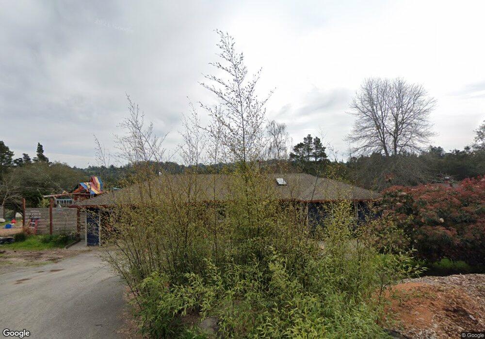
1067 Tilton Rd Sebastopol, CA 95472
Estimated Value: $1,049,000 - $1,386,000
2
Beds
2
Baths
1,462
Sq Ft
$799/Sq Ft
Est. Value
About This Home
This home is located at 1067 Tilton Rd, Sebastopol, CA 95472 and is currently estimated at $1,167,984, approximately $798 per square foot. 1067 Tilton Rd is a home located in Sonoma County with nearby schools including Apple Blossom School, Analy High School, and Twin Hills Charter Middle School.
Ownership History
Date
Name
Owned For
Owner Type
Purchase Details
Closed on
Oct 2, 2019
Sold by
Burlington Kristen A
Bought by
Maclean Ian M
Current Estimated Value
Purchase Details
Closed on
May 24, 2013
Sold by
Hynes Jane Ellen and Rudolph Beverly Jean
Bought by
Maclean Ian M and Burlington Kristen A
Home Financials for this Owner
Home Financials are based on the most recent Mortgage that was taken out on this home.
Original Mortgage
$390,000
Interest Rate
3.38%
Mortgage Type
New Conventional
Create a Home Valuation Report for This Property
The Home Valuation Report is an in-depth analysis detailing your home's value as well as a comparison with similar homes in the area
Purchase History
| Date | Buyer | Sale Price | Title Company |
|---|---|---|---|
| Maclean Ian M | -- | None Available | |
| Maclean Ian M | $615,000 | First American Title Company |
Source: Public Records
Mortgage History
| Date | Status | Borrower | Loan Amount |
|---|---|---|---|
| Previous Owner | Maclean Ian M | $390,000 |
Source: Public Records
Tax History
| Year | Tax Paid | Tax Assessment Tax Assessment Total Assessment is a certain percentage of the fair market value that is determined by local assessors to be the total taxable value of land and additions on the property. | Land | Improvement |
|---|---|---|---|---|
| 2025 | $8,647 | $745,003 | $307,852 | $437,151 |
| 2024 | $8,647 | $730,396 | $301,816 | $428,580 |
| 2023 | $8,647 | $716,076 | $295,899 | $420,177 |
| 2022 | $8,220 | $702,037 | $290,098 | $411,939 |
| 2021 | $8,053 | $688,272 | $284,410 | $403,862 |
| 2020 | $8,087 | $681,215 | $281,494 | $399,721 |
| 2019 | $7,723 | $667,859 | $275,975 | $391,884 |
| 2018 | $7,596 | $654,764 | $270,564 | $384,200 |
| 2017 | $7,261 | $641,926 | $265,259 | $376,667 |
| 2016 | $7,142 | $629,340 | $260,058 | $369,282 |
| 2015 | $6,906 | $619,888 | $256,152 | $363,736 |
| 2014 | $6,766 | $607,746 | $251,135 | $356,611 |
Source: Public Records
Map
Nearby Homes
- 189 Wagnon Rd
- 10360 Barnett Valley Rd
- 10966 Barnett Valley Rd
- 3590 Burnside Rd
- 808 Grandview Rd
- 1025 Laurel Ave
- 790 Ferguson Rd Rd
- 940 Ferguson Rd
- 1365 Grandview Rd
- 0 Bodega Hwy
- 13881 Bodega Hwy
- 8148 Bodega Ave
- 8086 Bodega Ave
- 789 Pleasant Hill Rd
- 200 Pleasant Hill Ave N
- 8091 Hill Dr
- 7859 Anthony St
- 1220 Gravenstein Hwy N
- 7720 Bodega Ave Unit 3
- Plan 5 at The Canopy