1068 Rolling Oaks Dr McComb, MS 39648
Estimated Value: $206,000 - $284,000
Studio
--
Bath
2,098
Sq Ft
$113/Sq Ft
Est. Value
About This Home
This home is located at 1068 Rolling Oaks Dr, McComb, MS 39648 and is currently estimated at $237,021, approximately $112 per square foot. 1068 Rolling Oaks Dr is a home with nearby schools including North Pike Elementary School, North Pike Middle School, and North Pike Senior High School.
Ownership History
Date
Name
Owned For
Owner Type
Purchase Details
Closed on
Jun 7, 2018
Sold by
Redmond Dale and Redmond Mary
Bought by
Pattie William Henry
Current Estimated Value
Purchase Details
Closed on
Oct 16, 2006
Sold by
Price Frank and Price Dee
Bought by
Redmond Dale and Redmond Mary
Home Financials for this Owner
Home Financials are based on the most recent Mortgage that was taken out on this home.
Original Mortgage
$116,000
Interest Rate
6.36%
Mortgage Type
New Conventional
Create a Home Valuation Report for This Property
The Home Valuation Report is an in-depth analysis detailing your home's value as well as a comparison with similar homes in the area
Purchase History
| Date | Buyer | Sale Price | Title Company |
|---|---|---|---|
| Pattie William Henry | -- | None Available | |
| Redmond Dale | -- | None Available |
Source: Public Records
Mortgage History
| Date | Status | Borrower | Loan Amount |
|---|---|---|---|
| Previous Owner | Redmond Dale | $116,000 |
Source: Public Records
Tax History
| Year | Tax Paid | Tax Assessment Tax Assessment Total Assessment is a certain percentage of the fair market value that is determined by local assessors to be the total taxable value of land and additions on the property. | Land | Improvement |
|---|---|---|---|---|
| 2025 | $1,131 | $18,409 | $0 | $0 |
| 2024 | $1,148 | $15,854 | $0 | $0 |
| 2023 | $1,123 | $15,854 | $0 | $0 |
| 2022 | $1,107 | $15,854 | $0 | $0 |
| 2021 | $1,104 | $15,854 | $0 | $0 |
| 2020 | $1,127 | $15,989 | $0 | $0 |
| 2019 | $1,099 | $15,989 | $0 | $0 |
| 2018 | $1,757 | $15,989 | $0 | $0 |
| 2017 | $1,713 | $15,989 | $0 | $0 |
| 2016 | $1,477 | $15,989 | $0 | $0 |
| 2015 | $1,371 | $15,386 | $0 | $0 |
| 2014 | $1,334 | $15,386 | $0 | $0 |
| 2013 | -- | $15,386 | $0 | $0 |
Source: Public Records
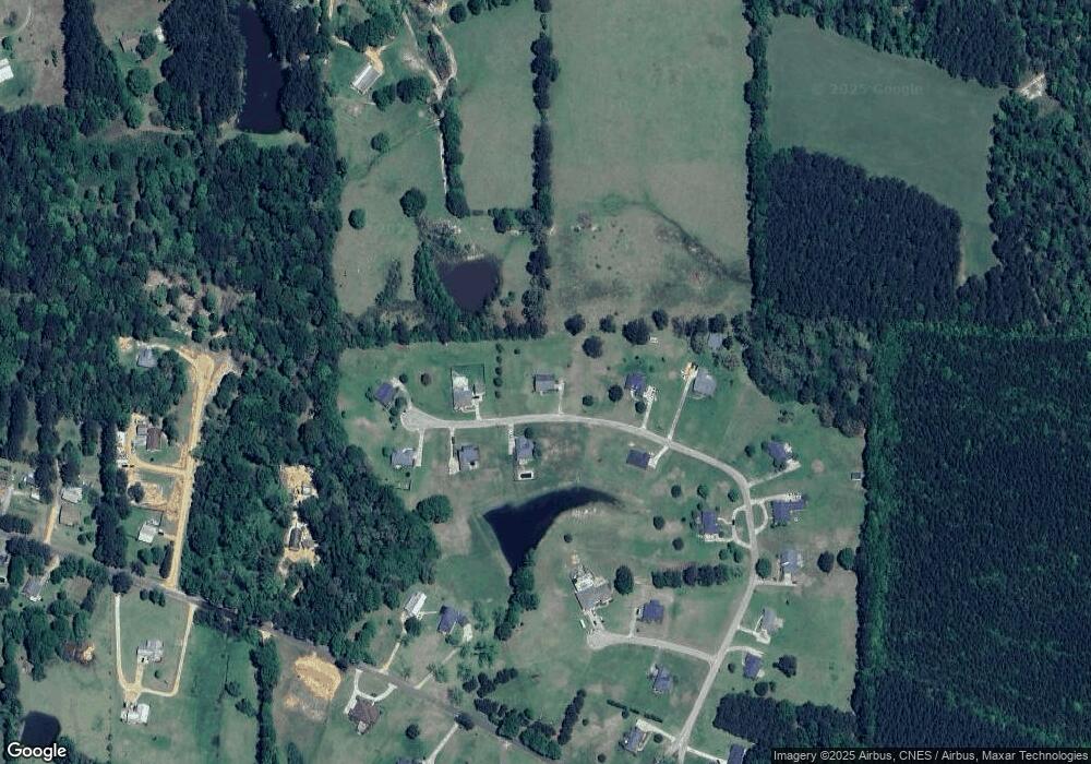
Map
Nearby Homes
- 0 Rolling Oaks Dr
- 1011 Rolling Oaks Dr
- 1028 Chester Reeves Rd
- 1037 Boone Rd
- 1021 Great Point Rd
- 0 Deer Ridge Rd
- 1022 Friendship Cir
- 2067 McComb Hville Rd
- 1011 Eastover Ln
- No Integrity Rd
- 0 Integrity Rd
- 1148 Morgantown Rd
- 0 Morgantown Rd Unit 4125975
- 1025 Clover Ln
- 1019 Pearl River Avenue Extension
- XXX Brewer Ln
- 7020 Gibson Rd
- 1086 Mississippi 570
- 1031 Pearl River Ave
- 1024 Sabrina Dr
- 1052 Rolling Oaks Dr
- 1005 Price Ln
- 1071 Rolling Oaks Dr
- 1084 Rolling Oaks Dr
- 1060 Rolling Oaks Dr
- 4075 Summit Hville Rd
- 1010 Rolling Oaks Dr
- 1014 Price Ln
- 1059 Rolling Oaks Dr
- 1077 Rolling Oaks Dr
- 1010 Price Ln
- 1039 Rolling Oaks Dr
- Lot 15 Twin Oaks
- 1078 Rolling Oaks Dr
- 1083 Rolling Oaks Dr
- Lot 15 Rolling Oaks Subdivision
- Lot 12 Rolling Oaks Subdivision
- Lot 14 Rolling Oaks Subdivision
- Lot 18 Rolling Oaks Subdivision
- Lot 24 Rolling Oaks Subdivision
Your Personal Tour Guide
Ask me questions while you tour the home.