Estimated Value: $77,831 - $99,000
2
Beds
1
Bath
802
Sq Ft
$114/Sq Ft
Est. Value
About This Home
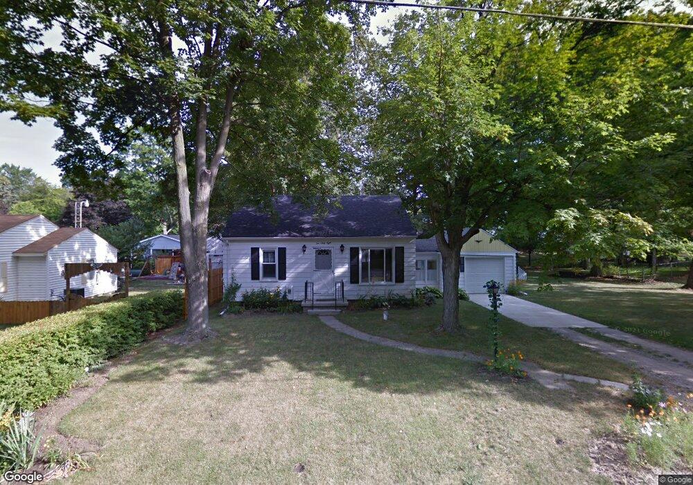
This home is located at 1068 W Decamp St, Flint, MI 48507 and is currently estimated at $91,458, approximately $114 per square foot. 1068 W Decamp St is a home located in Genesee County with nearby schools including Carman-Ainsworth High School and International Academy of Flint (K-12).
Ownership History
Date
Name
Owned For
Owner Type
Purchase Details
Closed on
Sep 5, 2024
Sold by
Brown Rachel A
Bought by
Brown Rachel A
Current Estimated Value
Purchase Details
Closed on
Dec 14, 2009
Sold by
Brown Ralph E and Brown Rachel A
Bought by
Brown Rachel A and Brown Ralph E
Purchase Details
Closed on
May 22, 2009
Sold by
Hyde Thomas and Hyde Mary
Bought by
Brown Rachel A
Purchase Details
Closed on
Nov 20, 2008
Sold by
Hyde Thomas and Estate Of Elizabeth Elde Hyde
Bought by
Hyde Thomas and Tolbert Shirley
Create a Home Valuation Report for This Property
The Home Valuation Report is an in-depth analysis detailing your home's value as well as a comparison with similar homes in the area
Home Values in the Area
Average Home Value in this Area
Purchase History
| Date | Buyer | Sale Price | Title Company |
|---|---|---|---|
| Brown Rachel A | -- | None Listed On Document | |
| Brown Rachel A | -- | None Available | |
| Brown Rachel A | $29,900 | Sargents Title Company | |
| Hyde Thomas | -- | None Available |
Source: Public Records
Tax History Compared to Growth
Tax History
| Year | Tax Paid | Tax Assessment Tax Assessment Total Assessment is a certain percentage of the fair market value that is determined by local assessors to be the total taxable value of land and additions on the property. | Land | Improvement |
|---|---|---|---|---|
| 2025 | $1,035 | $38,300 | $0 | $0 |
| 2024 | $474 | $37,300 | $0 | $0 |
| 2023 | $742 | $34,800 | $0 | $0 |
| 2022 | $542 | $29,200 | $0 | $0 |
| 2021 | $913 | $25,400 | $0 | $0 |
| 2020 | $407 | $22,100 | $0 | $0 |
| 2019 | $401 | $19,800 | $0 | $0 |
| 2018 | $893 | $19,200 | $0 | $0 |
| 2017 | $862 | $19,200 | $0 | $0 |
| 2016 | $850 | $17,400 | $0 | $0 |
| 2015 | $673 | $17,400 | $0 | $0 |
| 2014 | $399 | $16,800 | $0 | $0 |
| 2012 | -- | $16,000 | $16,000 | $0 |
Source: Public Records
Map
Nearby Homes
- 3322 Fenton Rd
- 1039 Markham St
- 1122 Markham St
- 1210 Pinehurst Ave
- 1031 Ingleside Ave
- 1314 Pinehurst Ave
- 1318 Ingleside Ave
- 4418 Brunswick Ave
- 1234 Huron St
- 1247 Catalina Dr
- 1310 Huron St
- 1015 Alvord Ave
- 1151 Wells St
- 1169 Carman St
- 4518 Huckleberry Ln
- 1186 E Decamp St
- 1183 Norton St
- 1212 Crawford St
- 829 Clinton St
- 1826 Greenbrook Ln
- 1076 W Decamp St
- 1083 Ronald St
- 1079 Ronald St
- 1054 W Decamp St
- 1069 Ronald St
- 3329 Phillip Ave
- 1065 W Decamp St
- 3353 Phillip Ave
- 1045 W Decamp St
- 3365 Phillip Ave
- 1038 W Decamp St
- 1088 W Decamp St
- 3328 Phillip Ave
- 3320 Hull St
- 1086 Ronald St
- 3314 Hull St
- 3342 Hull St
- 3352 Phillip Ave
- 1074 Ronald St
- 3348 Hull St