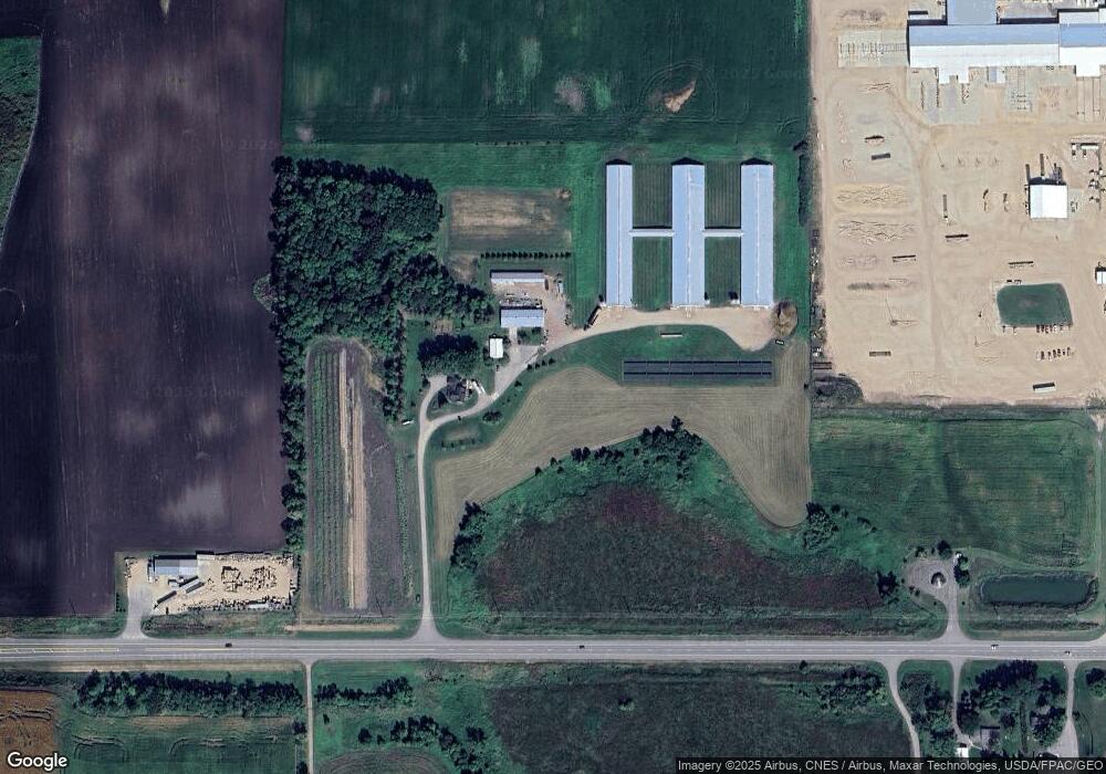
10684 Us Highway 12 SW Howard Lake, MN 55349
Estimated Value: $385,000 - $762,372
4
Beds
2
Baths
2,174
Sq Ft
$247/Sq Ft
Est. Value
About This Home
This home is located at 10684 Us Highway 12 SW, Howard Lake, MN 55349 and is currently estimated at $536,593, approximately $246 per square foot. 10684 Us Highway 12 SW is a home with nearby schools including Humphrey Elementary School, Winsted Elementary School, and Howard Lake-Waverly-Winsted Middle School.
Ownership History
Date
Name
Owned For
Owner Type
Purchase Details
Closed on
Mar 11, 2016
Sold by
Munson Turkey Co Llc
Bought by
Stotts Jared R
Current Estimated Value
Purchase Details
Closed on
Mar 3, 2016
Sold by
Munco Inc
Bought by
Stotts Jared R
Purchase Details
Closed on
Sep 27, 2004
Sold by
Munco Inc
Bought by
Munson Beryl A and Munson Carolyn M
Home Financials for this Owner
Home Financials are based on the most recent Mortgage that was taken out on this home.
Original Mortgage
$2,533,000
Interest Rate
4.92%
Mortgage Type
Land Contract Argmt. Of Sale
Create a Home Valuation Report for This Property
The Home Valuation Report is an in-depth analysis detailing your home's value as well as a comparison with similar homes in the area
Home Values in the Area
Average Home Value in this Area
Purchase History
| Date | Buyer | Sale Price | Title Company |
|---|---|---|---|
| Stotts Jared R | $675,000 | Title Mark | |
| Stotts Jared R | -- | Title Mark Llc | |
| Munson Beryl A | $2,533,000 | -- |
Source: Public Records
Mortgage History
| Date | Status | Borrower | Loan Amount |
|---|---|---|---|
| Previous Owner | Munson Beryl A | $2,533,000 |
Source: Public Records
Tax History Compared to Growth
Tax History
| Year | Tax Paid | Tax Assessment Tax Assessment Total Assessment is a certain percentage of the fair market value that is determined by local assessors to be the total taxable value of land and additions on the property. | Land | Improvement |
|---|---|---|---|---|
| 2025 | $4,404 | $702,900 | $281,700 | $421,200 |
| 2024 | $3,894 | $648,800 | $268,600 | $380,200 |
| 2023 | $3,818 | $600,000 | $268,600 | $331,400 |
| 2022 | $4,738 | $539,500 | $220,200 | $319,300 |
| 2021 | $4,392 | $509,300 | $199,700 | $309,600 |
| 2020 | $4,214 | $509,800 | $200,800 | $309,000 |
| 2019 | $4,432 | $380,800 | $0 | $0 |
| 2018 | $4,302 | $27,500 | $0 | $0 |
| 2017 | $4,884 | $484,600 | $0 | $0 |
| 2016 | $4,926 | $0 | $0 | $0 |
| 2015 | $3,870 | $0 | $0 | $0 |
| 2014 | -- | $0 | $0 | $0 |
Source: Public Records
Map
Nearby Homes
- 801 7th Ave
- 816 7th Ave
- 712 6th Ave
- 909 6th Ave
- 220 Orchard Ct
- 5017 Imhoff Ave SW
- 8847 47th St SW
- 8722 47th St SW
- 413 12th St
- 1321 4th Ave
- 197 12th St
- 320 Terning Way
- 325 Trailstone Dr SW
- 315 Trailstone Dr SW
- 350 Trailstone Dr SW
- 201 Robbie Ln
- The Oak Ridge Plan at Terning Trails
- The Washington Plan at Terning Trails
- 200 Robbie Ln
- 129 Terning Way
- 10423 Us Highway 12 SW
- 10397 Us Highway 12 SW
- XXX County Road 5 SW
- 11194 58th St SW
- 6059 Keats Ave SW
- 5555 Keats Ave SW
- 8XXX Keats Ave SW
- 11364 58th St SW
- 6391 Keats Ave SW
- 5520 Keats Ave SW
- 11509 Us Highway 12 SW
- 9871 Us Highway 12 SW
- 10894 70th St SW
- 10958 70th St SW
- 10546 50th St SW
- 11604 Us Highway 12 SW
- 11678 Us Highway 12 SW
- 9750 60th St SW
- 11095 51st St SW