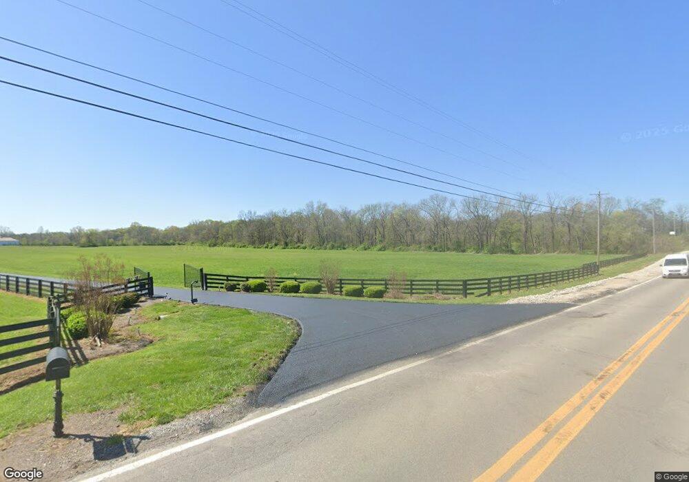
1069 Beechcroft Rd Spring Hill, TN 37174
Estimated Value: $1,394,000 - $2,436,593
3
Beds
5
Baths
3,146
Sq Ft
$609/Sq Ft
Est. Value
About This Home
This home is located at 1069 Beechcroft Rd, Spring Hill, TN 37174 and is currently estimated at $1,915,297, approximately $608 per square foot. 1069 Beechcroft Rd is a home located in Maury County with nearby schools including Spring Hill Elementary School, Spring Hill Middle School, and Spring Hill High School.
Ownership History
Date
Name
Owned For
Owner Type
Purchase Details
Closed on
Sep 6, 2022
Sold by
Marie Sandstead and Marie Linda
Bought by
Sandstead Living Trust
Current Estimated Value
Purchase Details
Closed on
Dec 5, 2014
Sold by
Estate Of Millard F Mitchum Jr
Bought by
Powell C James and Powell Claire N
Purchase Details
Closed on
Feb 11, 2010
Sold by
Curry James F
Bought by
Powell C James and Hassen Claire N
Purchase Details
Closed on
Apr 6, 2005
Sold by
Curry James Frank and Curry Johnnie Dale
Bought by
State Of Tennessee
Purchase Details
Closed on
May 3, 1975
Bought by
Curry G T
Create a Home Valuation Report for This Property
The Home Valuation Report is an in-depth analysis detailing your home's value as well as a comparison with similar homes in the area
Purchase History
| Date | Buyer | Sale Price | Title Company |
|---|---|---|---|
| Sandstead Living Trust | -- | -- | |
| Powell C James | $72,660 | None Available | |
| Powell C James | $73,710 | None Available | |
| Powell C James | $450,000 | Mid State Title & Escrow Inc | |
| State Of Tennessee | $7,100 | Accurate Title & Escrow Inc | |
| Curry G T | -- | -- |
Source: Public Records
Tax History
| Year | Tax Paid | Tax Assessment Tax Assessment Total Assessment is a certain percentage of the fair market value that is determined by local assessors to be the total taxable value of land and additions on the property. | Land | Improvement |
|---|---|---|---|---|
| 2025 | $5,442 | $284,925 | $40,925 | $244,000 |
| 2024 | $5,442 | $284,925 | $40,925 | $244,000 |
| 2023 | $5,442 | $284,925 | $40,925 | $244,000 |
| 2022 | $5,442 | $284,925 | $40,925 | $244,000 |
| 2021 | $5,442 | $203,825 | $23,125 | $180,700 |
| 2020 | $4,083 | $203,825 | $23,125 | $180,700 |
| 2019 | $4,083 | $182,550 | $23,125 | $159,425 |
| 2018 | $4,083 | $182,550 | $23,125 | $159,425 |
| 2017 | $4,272 | $151,775 | $19,550 | $132,225 |
| 2016 | $4,272 | $151,775 | $19,550 | $132,225 |
| 2015 | $3,977 | $151,775 | $19,550 | $132,225 |
| 2014 | $3,977 | $151,775 | $19,550 | $132,225 |
Source: Public Records
Map
Nearby Homes
- 408 Wild Iris Way
- 410 Wild Iris Way
- 325 Harvest Point Blvd
- 327 Harvest Point Blvd
- 422 Wild Iris Way
- 424 Wild Iris Way
- 426 Wild Iris Way
- 345 Harvest Point Blvd
- 329 Harvest Point Blvd
- 333 Harvest Point Blvd
- 339 Harvest Point Blvd
- 309 Harvest Point Blvd
- 307 Harvest Point Blvd
- 305 Harvest Point Blvd
- 293 Harvest Point Blvd
- 291 Harvest Point Blvd
- 304 Harvest Point Blvd
- 328 Harvest Point Blvd
- 306 Harvest Point Blvd
- 308 Harvest Point Blvd
- 1039 Beechcroft Rd
- 1019 Beechcroft Rd
- 4109 Arrowhead Ln
- 404 Bergen Dr L 70 Unit 70
- 4101 Arrowhead Ln
- 4113 Arrowhead Ln
- 4013 Rising Fawn Ln
- 409 Bergen Dr L 64 Unit 64
- 1116 Claire Dr
- 1124 Claire Dr
- 1120 Claire Dr
- 1112 Claire Dr
- 1107 Beechcroft Rd
- 1112 Clair Dr
- 1128 Claire Dr
- 1121 Beechcroft Rd
- 508 Alton L47
- 508 Alton L47 Unit 47
- 1115 Beechcroft Rd
- 1132 Claire Dr
Your Personal Tour Guide
Ask me questions while you tour the home.