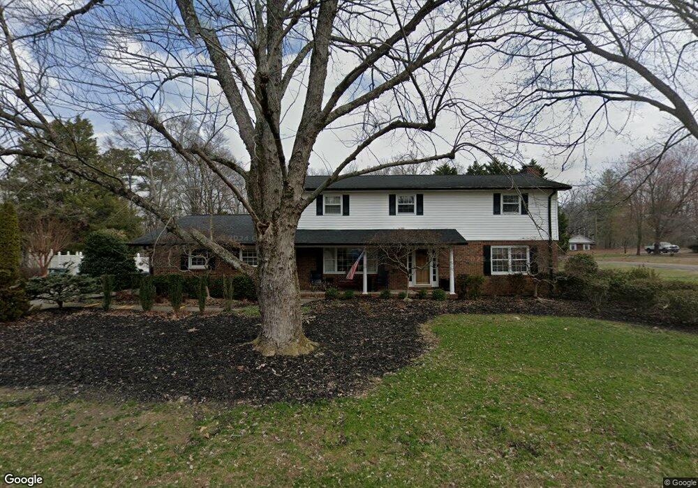
107 Azalea Cir Dalton, GA 30721
Estimated Value: $321,000 - $428,000
--
Bed
2
Baths
2,726
Sq Ft
$140/Sq Ft
Est. Value
About This Home
This home is located at 107 Azalea Cir, Dalton, GA 30721 and is currently estimated at $380,508, approximately $139 per square foot. 107 Azalea Cir is a home located in Whitfield County with nearby schools including Pleasant Grove Elementary School, New Hope Middle School, and Northwest Whitfield County High School.
Ownership History
Date
Name
Owned For
Owner Type
Purchase Details
Closed on
Mar 31, 2006
Sold by
Irwin Caroljean
Bought by
Irwin Caroljean
Current Estimated Value
Home Financials for this Owner
Home Financials are based on the most recent Mortgage that was taken out on this home.
Original Mortgage
$110,000
Interest Rate
8.1%
Mortgage Type
New Conventional
Purchase Details
Closed on
Oct 24, 2001
Sold by
Irwin Donald A and Carol Jean
Bought by
Irwin Carol Jean
Purchase Details
Closed on
Mar 1, 1993
Bought by
Irwin Donald A and Carol Jean
Create a Home Valuation Report for This Property
The Home Valuation Report is an in-depth analysis detailing your home's value as well as a comparison with similar homes in the area
Home Values in the Area
Average Home Value in this Area
Purchase History
| Date | Buyer | Sale Price | Title Company |
|---|---|---|---|
| Irwin Caroljean | -- | -- | |
| Irwin Carol Jean | -- | -- | |
| Irwin Donald A | -- | -- |
Source: Public Records
Mortgage History
| Date | Status | Borrower | Loan Amount |
|---|---|---|---|
| Previous Owner | Irwin Caroljean | $110,000 |
Source: Public Records
Tax History Compared to Growth
Tax History
| Year | Tax Paid | Tax Assessment Tax Assessment Total Assessment is a certain percentage of the fair market value that is determined by local assessors to be the total taxable value of land and additions on the property. | Land | Improvement |
|---|---|---|---|---|
| 2024 | $1,672 | $160,706 | $15,600 | $145,106 |
| 2023 | $1,891 | $110,836 | $10,600 | $100,236 |
| 2022 | $1,238 | $88,698 | $10,600 | $78,098 |
| 2021 | $1,239 | $88,698 | $10,600 | $78,098 |
| 2020 | $1,308 | $88,698 | $10,600 | $78,098 |
| 2019 | $1,342 | $88,698 | $10,600 | $78,098 |
| 2018 | $1,158 | $81,757 | $10,600 | $71,157 |
| 2017 | $1,159 | $81,757 | $10,600 | $71,157 |
| 2016 | $1,092 | $81,996 | $9,030 | $72,966 |
| 2014 | $883 | $81,996 | $9,030 | $72,966 |
| 2013 | -- | $89,468 | $9,030 | $80,438 |
Source: Public Records
Map
Nearby Homes
- 213 Grassdale Rd
- 522 Westbrook Rd
- 110 Pinewood Way
- 572 Lee Joan Dr NW
- 503 Moore Dr
- 439 Westbrook Rd
- 117 Pleasant Hill Dr
- 1484 Fowler Dr NW
- 2502 E Hillview Dr
- 407 Quillian Rd
- 0 TRACT 5 2nd St
- 1902 Middle Summit Dr
- 1902 Middle Summit Dr Unit 113
- 1903 Summit View Dr
- 1903 Middle Summit Dr
- 2615 Cleveland Hwy
- 1899 N Summit Dr Unit 66
- 1899 Middle Summit Dr Unit 98
- 000 Reed Rd
- 2215 Kerr Rd NW
- 120 Briarcliff Dr
- 118 Briarcliff Dr
- 105 Azalea Cir
- 304 Royal Oak Dr
- 500 Royal Oak Dr
- 405 Royal Oak Dr
- 401 Royal Oak Dr
- 102 Azalea Cir
- 104 Azalea Cir
- 360 Stackstone Dr
- 326 Stackstone Dr
- 303 Royal Oak Dr
- 502 Royal Oak Dr
- 407 Royal Oak Dr
- 207 Redwood Rd
- 207 Red Wood Rd
- 378 Stackstone Dr
- 300 Royal Oak Dr
- 282 Stackstone Dr
- 100 Azalea Cir