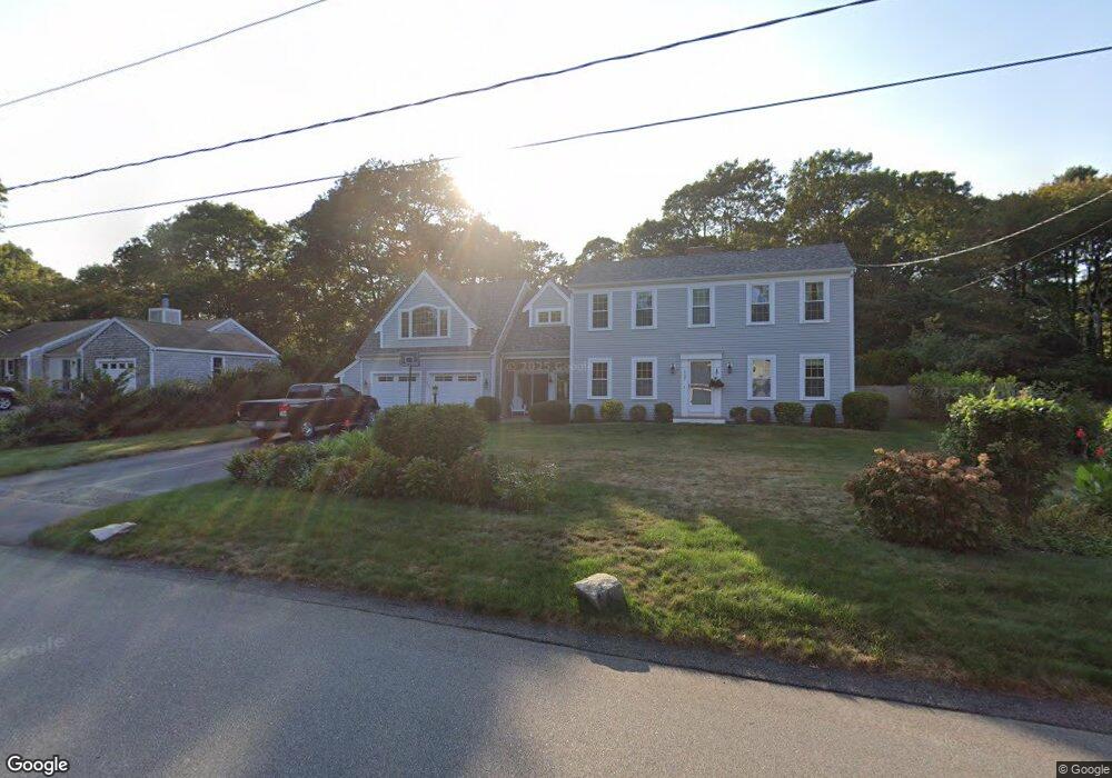
107 Gleneagle Dr Centerville, MA 02632
Centerville NeighborhoodEstimated Value: $755,410 - $796,000
3
Beds
3
Baths
2,800
Sq Ft
$276/Sq Ft
Est. Value
About This Home
This home is located at 107 Gleneagle Dr, Centerville, MA 02632 and is currently estimated at $771,853, approximately $275 per square foot. 107 Gleneagle Dr is a home located in Barnstable County with nearby schools including Centerville Elementary School, Barnstable United Elementary School, and Barnstable Intermediate School.
Ownership History
Date
Name
Owned For
Owner Type
Purchase Details
Closed on
Jan 6, 2024
Sold by
Colarusso Steven H and Colarusso Sandra J
Bought by
Colarusso Sandra J and Colarusso Steven H
Current Estimated Value
Purchase Details
Closed on
Aug 30, 2013
Sold by
Colarusso Steven H and Colarusso Sandra J
Bought by
Colarusso Steven H and Colarusso Sandra J
Purchase Details
Closed on
Feb 22, 1991
Sold by
Beers Harry W and Beers Dorothy S
Bought by
Patera Anthony T
Create a Home Valuation Report for This Property
The Home Valuation Report is an in-depth analysis detailing your home's value as well as a comparison with similar homes in the area
Home Values in the Area
Average Home Value in this Area
Purchase History
| Date | Buyer | Sale Price | Title Company |
|---|---|---|---|
| Colarusso Sandra J | -- | None Available | |
| Colarusso Steven H | -- | -- | |
| Patera Anthony T | $136,500 | -- |
Source: Public Records
Mortgage History
| Date | Status | Borrower | Loan Amount |
|---|---|---|---|
| Previous Owner | Patera Anthony T | $285,000 | |
| Previous Owner | Patera Anthony T | $298,400 | |
| Previous Owner | Patera Anthony T | $319,500 |
Source: Public Records
Tax History Compared to Growth
Tax History
| Year | Tax Paid | Tax Assessment Tax Assessment Total Assessment is a certain percentage of the fair market value that is determined by local assessors to be the total taxable value of land and additions on the property. | Land | Improvement |
|---|---|---|---|---|
| 2025 | $5,371 | $663,900 | $153,200 | $510,700 |
| 2024 | $4,699 | $601,700 | $153,200 | $448,500 |
| 2023 | $4,902 | $587,800 | $139,300 | $448,500 |
| 2022 | $4,700 | $487,600 | $103,200 | $384,400 |
| 2021 | $4,558 | $434,500 | $103,200 | $331,300 |
| 2020 | $4,533 | $413,600 | $103,200 | $310,400 |
| 2019 | $4,355 | $386,100 | $103,200 | $282,900 |
| 2018 | $4,034 | $359,500 | $108,600 | $250,900 |
| 2017 | $3,510 | $326,200 | $108,600 | $217,600 |
| 2016 | $3,565 | $327,100 | $109,500 | $217,600 |
| 2015 | $3,779 | $348,300 | $106,400 | $241,900 |
Source: Public Records
Map
Nearby Homes
- 296 Buckskin Path
- 81 Monomoy Cir
- 73 Tern Ln
- 900 Old Stage Rd
- 66 Tern Ln
- 315 Prince Hinckley Rd
- 62 Three Ponds Dr
- 205 James Otis Rd
- 21 Shannon Way
- 16 Bridgets Path
- 87 Foxglove Rd
- 70 Joyce Anne Rd
- 149 Old Stage Rd
- 53 Meadow Farm Rd
- 52 Meadow Farm Rd
- 1044 Old Falmouth Rd
- 1028 Old Falmouth Rd
- 40 Sachem Dr
- 58 Loomis Ln
- 97 Gleneagle Dr
- 117 Gleneagle Dr
- 38 White Oak Trail
- 87 Gleneagle Dr
- 26 White Oak Trail
- 108 Gleneagle Dr
- 127 Gleneagle Dr
- 96 Gleneagle Dr
- 50 White Oak Trail
- 118 Gleneagle Dr
- 128 Gleneagle Dr
- 77 Gleneagle Dr
- 137 Gleneagle Dr
- 82 Gleneagle Dr
- 70 White Oak Trail
- 16 White Oak Trail
- 35 White Oak Trail
- 83 Knotty Pine Ln
- 91 Knotty Pine Ln
- 73 Knotty Pine Ln