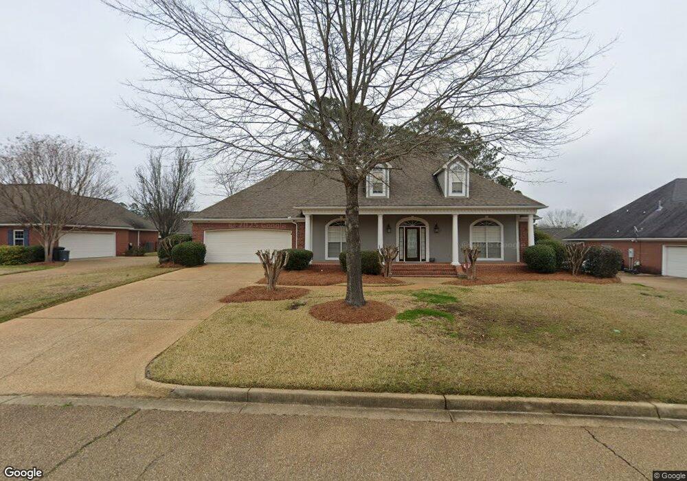
107 Glenside Dr Brandon, MS 39042
Estimated Value: $305,115 - $326,000
4
Beds
2
Baths
2,045
Sq Ft
$156/Sq Ft
Est. Value
About This Home
This home is located at 107 Glenside Dr, Brandon, MS 39042 and is currently estimated at $319,529, approximately $156 per square foot. 107 Glenside Dr is a home located in Rankin County with nearby schools including Rouse Elementary School, Brandon Elementary School, and Stonebridge Elementary School.
Ownership History
Date
Name
Owned For
Owner Type
Purchase Details
Closed on
Dec 14, 2006
Sold by
Koym Brent L and Koym Anne R
Bought by
Adadevoh Benjamin O and Adadevoh Valerie R
Current Estimated Value
Home Financials for this Owner
Home Financials are based on the most recent Mortgage that was taken out on this home.
Original Mortgage
$185,000
Outstanding Balance
$109,870
Interest Rate
6.19%
Estimated Equity
$209,659
Create a Home Valuation Report for This Property
The Home Valuation Report is an in-depth analysis detailing your home's value as well as a comparison with similar homes in the area
Home Values in the Area
Average Home Value in this Area
Purchase History
| Date | Buyer | Sale Price | Title Company |
|---|---|---|---|
| Adadevoh Benjamin O | -- | M-Tec, Miller Title & Escrow |
Source: Public Records
Mortgage History
| Date | Status | Borrower | Loan Amount |
|---|---|---|---|
| Open | Adadevoh Benjamin O | $185,000 |
Source: Public Records
Tax History
| Year | Tax Paid | Tax Assessment Tax Assessment Total Assessment is a certain percentage of the fair market value that is determined by local assessors to be the total taxable value of land and additions on the property. | Land | Improvement |
|---|---|---|---|---|
| 2024 | $2,514 | $21,563 | $0 | $0 |
| 2023 | $2,406 | $20,733 | $0 | $0 |
| 2022 | $2,375 | $20,733 | $0 | $0 |
| 2021 | $2,375 | $20,733 | $0 | $0 |
| 2020 | $2,375 | $20,733 | $0 | $0 |
| 2019 | $2,145 | $18,552 | $0 | $0 |
| 2018 | $2,108 | $18,552 | $0 | $0 |
| 2017 | $2,108 | $18,552 | $0 | $0 |
| 2016 | $1,870 | $17,961 | $0 | $0 |
| 2015 | $1,870 | $17,961 | $0 | $0 |
| 2014 | $1,831 | $17,961 | $0 | $0 |
| 2013 | -- | $17,961 | $0 | $0 |
Source: Public Records
Map
Nearby Homes
- 73 Eastgate Dr
- 402 Treeline Dr
- 135 Fawnwood Dr
- 0 Mississippi 471 Unit 4129332
- 0 Mississippi 471 Unit 4120443
- 0 Thorngate Dr
- 550 Pecan Blvd
- 0 Luckney Rd Unit 4087485
- 0001 Old Highway 471
- 102 Sunline Dr
- 48 Sandlewood Dr
- 22 Pebble Hill Dr
- 36 Pebble Hill Dr
- 637 Wild Horse Ln
- 2017 Rolling Hill Dr
- 119 Fern Valley Rd
- 213 Iron Horse Station
- 705 Heartwood Ln
- 104 Shelby Mae Cir
- 5095 Warner Dr
- 109 Glenside Dr
- 105 Glenside Dr
- 2004 Walden Place
- 97 Eastgate Dr
- 111 Glenside Dr
- 103 Glenside Dr
- 2005 Walden Place
- 110 Linwood Dr
- 112 Linwood Dr
- 114 Linwood Dr
- 96 Eastgate Dr
- 104 Glenside Dr
- 2003 Walden Place
- 101 Glenside Dr
- 113 Glenside Dr
- 95 Eastgate Dr
- 1207 Treehill Ct
- 118 Linwood Dr
- 102 Glenside Dr
- 94 Eastgate Dr
Your Personal Tour Guide
Ask me questions while you tour the home.