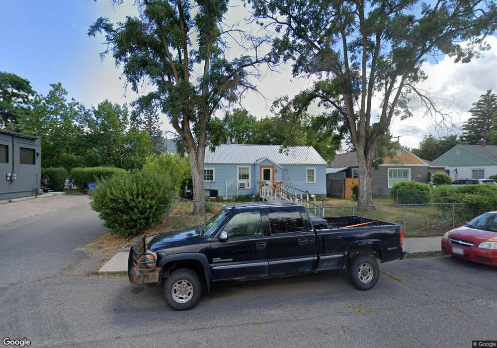
107 Kensington Ave Missoula, MT 59801
Rose Park NeighborhoodEstimated Value: $485,000 - $570,000
3
Beds
1
Bath
944
Sq Ft
$556/Sq Ft
Est. Value
About This Home
This home is located at 107 Kensington Ave, Missoula, MT 59801 and is currently estimated at $524,669, approximately $555 per square foot. 107 Kensington Ave is a home located in Missoula County with nearby schools including Lewis & Clark School, Washington Middle School, and Sentinel High School.
Ownership History
Date
Name
Owned For
Owner Type
Purchase Details
Closed on
Dec 10, 2001
Sold by
Duane Carol L
Bought by
Duane Alan and Duane Carol L
Current Estimated Value
Home Financials for this Owner
Home Financials are based on the most recent Mortgage that was taken out on this home.
Original Mortgage
$101,150
Interest Rate
9.25%
Create a Home Valuation Report for This Property
The Home Valuation Report is an in-depth analysis detailing your home's value as well as a comparison with similar homes in the area
Home Values in the Area
Average Home Value in this Area
Purchase History
| Date | Buyer | Sale Price | Title Company |
|---|---|---|---|
| Duane Alan | -- | Title Services Inc |
Source: Public Records
Mortgage History
| Date | Status | Borrower | Loan Amount |
|---|---|---|---|
| Closed | Duane Alan | $101,150 |
Source: Public Records
Tax History Compared to Growth
Tax History
| Year | Tax Paid | Tax Assessment Tax Assessment Total Assessment is a certain percentage of the fair market value that is determined by local assessors to be the total taxable value of land and additions on the property. | Land | Improvement |
|---|---|---|---|---|
| 2025 | $4,641 | $449,900 | $319,656 | $130,244 |
| 2024 | $4,448 | $365,500 | $226,512 | $138,988 |
| 2023 | $4,291 | $365,500 | $226,512 | $138,988 |
| 2022 | $3,434 | $253,600 | $0 | $0 |
| 2021 | $3,080 | $253,600 | $0 | $0 |
| 2020 | $2,887 | $220,200 | $0 | $0 |
| 2019 | $2,878 | $220,200 | $0 | $0 |
| 2018 | $2,996 | $223,000 | $0 | $0 |
| 2017 | $2,672 | $223,000 | $0 | $0 |
| 2016 | $2,702 | $199,100 | $0 | $0 |
| 2015 | $2,508 | $199,100 | $0 | $0 |
| 2014 | $2,517 | $121,211 | $0 | $0 |
Source: Public Records
Map
Nearby Homes
- 101 E Central Ave
- 109 E Central Ave
- 1617 Ronald Ave
- 540 Ford St
- 116 South Ave E
- 401 Woodworth Ave
- Lot 26a South Ave W
- 322 Evans Ave
- 1325 Gerald Ave
- 301 Livingston Ave
- 546 Woodworth Ave
- 470 Strand Ave
- 455 Mount Ave
- 1700 Arthur Ave
- 603 Brooks St
- 2711 S Higgins Ave
- 706 South Ave W
- 217 Benton Ave
- 720 South Ave W
- 632 Stephens Ave
- 111 Kensington Ave
- 131 Kensington Ave
- 1911 S Higgins Ave
- 1917 S Higgins Ave
- 102 North Ave W
- 106 North Ave W
- 135 Kensington Ave
- 132 North Ave W
- 110 Kensington Ave
- 139 Kensington Ave
- 120 Kensington Ave
- 144 North Ave W
- 130 Kensington Ave
- 141 Kensington Ave
- 150 North Ave W
- 138 Kensington Ave
- 1900 S Higgins Ave
- 140 Kensington Ave
- 160 North Ave W
- 111 North Ave W