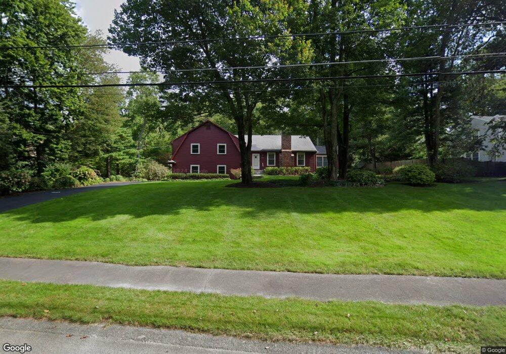
107 Locust Ln Needham, MA 02492
Estimated Value: $1,562,000 - $1,799,000
3
Beds
3
Baths
1,375
Sq Ft
$1,220/Sq Ft
Est. Value
About This Home
This home is located at 107 Locust Ln, Needham, MA 02492 and is currently estimated at $1,676,876, approximately $1,219 per square foot. 107 Locust Ln is a home located in Norfolk County with nearby schools including Newman Elementary School, High Rock Middle School, and Pollard Middle School.
Ownership History
Date
Name
Owned For
Owner Type
Purchase Details
Closed on
Nov 18, 1994
Sold by
Mccann Anthony D and Mccan Mary C
Bought by
Peck Stephen H and Peck Jacqueline B
Current Estimated Value
Purchase Details
Closed on
Feb 25, 1994
Sold by
Pascal Leo and Pascal Lillian C
Bought by
Mccann Anthony D and Mccann Mary C
Create a Home Valuation Report for This Property
The Home Valuation Report is an in-depth analysis detailing your home's value as well as a comparison with similar homes in the area
Home Values in the Area
Average Home Value in this Area
Purchase History
| Date | Buyer | Sale Price | Title Company |
|---|---|---|---|
| Peck Stephen H | $405,000 | -- | |
| Mccann Anthony D | $410,000 | -- |
Source: Public Records
Mortgage History
| Date | Status | Borrower | Loan Amount |
|---|---|---|---|
| Open | Mccann Anthony D | $412,000 | |
| Closed | Mccann Anthony D | $194,000 | |
| Closed | Mccann Anthony D | $417,000 |
Source: Public Records
Tax History Compared to Growth
Tax History
| Year | Tax Paid | Tax Assessment Tax Assessment Total Assessment is a certain percentage of the fair market value that is determined by local assessors to be the total taxable value of land and additions on the property. | Land | Improvement |
|---|---|---|---|---|
| 2025 | $14,753 | $1,391,800 | $899,600 | $492,200 |
| 2024 | $15,832 | $1,264,500 | $721,200 | $543,300 |
| 2023 | $15,893 | $1,218,800 | $721,200 | $497,600 |
| 2022 | $13,735 | $1,027,300 | $548,700 | $478,600 |
| 2021 | $13,386 | $1,027,300 | $548,700 | $478,600 |
| 2020 | $13,033 | $1,043,500 | $548,700 | $494,800 |
| 2019 | $12,782 | $1,031,600 | $548,700 | $482,900 |
| 2018 | $12,148 | $1,022,600 | $548,700 | $473,900 |
| 2017 | $11,521 | $969,000 | $548,700 | $420,300 |
| 2016 | $11,093 | $961,300 | $548,700 | $412,600 |
| 2015 | $10,853 | $961,300 | $548,700 | $412,600 |
| 2014 | $10,990 | $944,200 | $548,700 | $395,500 |
Source: Public Records
Map
Nearby Homes
- 60 Locust Ln
- 182 Winding River Rd
- 55 Ridge Hill Farm Rd
- 12 Winding River Cir
- 78 Pheasant Landing Rd
- 365 Charles River St
- 8 Warren Rd
- 29 Water St
- 60 Claybrook Rd
- 29 Cottage St
- 21 Eliot St
- 1780 Central Ave
- 37 Carleton Dr
- 609 Washington St Unit 303
- 9 Hampden St
- 5 Abbott St
- 12 Cranberry Ln
- 104 Glen St
- 91 Glen St
- 192 Pond Rd
- 119 Locust Ln
- 97 Locust Ln
- 108 Locust Ln
- 89 Locust Ln
- 131 Locust Ln
- 120 Locust Ln
- 94 Locust Ln
- 130 Locust Ln
- 71 Locust Ln
- 80 Locust Ln
- 689 Charles River St
- 695 Charles River St
- 59 Locust Ln
- 145 Winding River Rd
- 685 Charles River St
- 161 Winding River Rd
- 161 Winding River Rd Unit 161
- 465 Grove St
- 131 Winding River Rd
- 41 Locust Ln