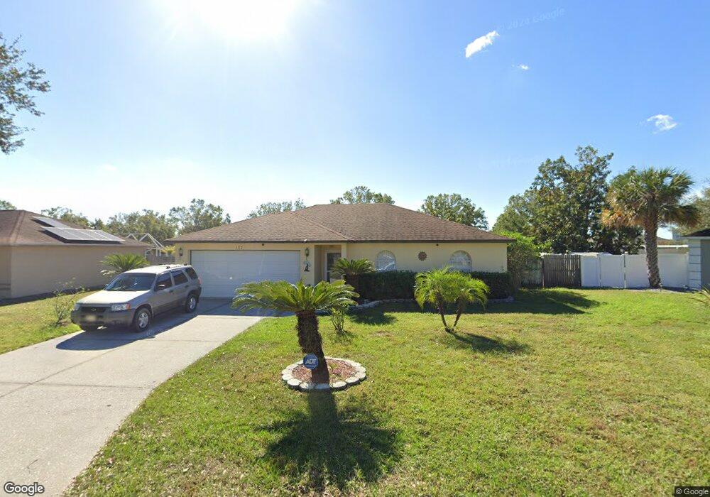
107 Mohawk Cir Auburndale, FL 33823
Estimated Value: $242,000 - $262,000
3
Beds
2
Baths
1,139
Sq Ft
$223/Sq Ft
Est. Value
About This Home
This home is located at 107 Mohawk Cir, Auburndale, FL 33823 and is currently estimated at $254,055, approximately $223 per square foot. 107 Mohawk Cir is a home located in Polk County with nearby schools including Walter Caldwell Elementary School, Auburndale Senior High School, and Jewett School of the Arts.
Ownership History
Date
Name
Owned For
Owner Type
Purchase Details
Closed on
Dec 21, 2023
Sold by
Goenaga Cristina
Bought by
Cristina Goenaga Revocable Trust and Goenaga
Current Estimated Value
Purchase Details
Closed on
Jan 26, 2004
Sold by
Lapin Peter J and Lapin Kelly J
Bought by
Goenaca Niurka
Purchase Details
Closed on
Dec 20, 2001
Sold by
Brown Robert D
Bought by
Lapin Peter J and Lapin Kelly J
Home Financials for this Owner
Home Financials are based on the most recent Mortgage that was taken out on this home.
Original Mortgage
$80,997
Interest Rate
6.42%
Purchase Details
Closed on
Aug 8, 2001
Sold by
Brown Monica
Bought by
Brown Robert D
Create a Home Valuation Report for This Property
The Home Valuation Report is an in-depth analysis detailing your home's value as well as a comparison with similar homes in the area
Home Values in the Area
Average Home Value in this Area
Purchase History
| Date | Buyer | Sale Price | Title Company |
|---|---|---|---|
| Cristina Goenaga Revocable Trust | $100 | None Listed On Document | |
| Cristina Goenaga Revocable Trust | $100 | None Listed On Document | |
| Goenaga Cristina | $100 | None Listed On Document | |
| Goenaga Cristina | $100 | None Listed On Document | |
| Goenaca Niurka | $91,000 | Real Estate Title Services I | |
| Lapin Peter J | $84,000 | -- | |
| Brown Robert D | -- | -- |
Source: Public Records
Mortgage History
| Date | Status | Borrower | Loan Amount |
|---|---|---|---|
| Previous Owner | Brown Robert D | $80,997 |
Source: Public Records
Tax History
| Year | Tax Paid | Tax Assessment Tax Assessment Total Assessment is a certain percentage of the fair market value that is determined by local assessors to be the total taxable value of land and additions on the property. | Land | Improvement |
|---|---|---|---|---|
| 2025 | $3,496 | $200,958 | $38,000 | $162,958 |
| 2024 | $2,475 | $213,529 | $38,000 | $175,529 |
| 2023 | $2,475 | $128,223 | -- | -- |
| 2022 | $2,250 | $116,566 | $0 | $0 |
| 2021 | $1,922 | $105,969 | $0 | $0 |
| 2020 | $1,805 | $118,811 | $27,000 | $91,811 |
| 2018 | $1,558 | $100,166 | $26,000 | $74,166 |
| 2017 | $1,447 | $72,377 | $0 | $0 |
| 2016 | $1,382 | $65,797 | $0 | $0 |
| 2015 | $1,245 | $59,815 | $0 | $0 |
| 2014 | $1,123 | $54,377 | $0 | $0 |
Source: Public Records
Map
Nearby Homes
- 106 Eagle Point Blvd
- 144 Costa Loop
- 122 Costa Loop
- 159 Auburn Grove Blvd
- 163 Auburn Grove Blvd
- 167 Auburn Grove Blvd
- 132 Magneta Loop
- 412 Diamond Ridge Dr
- 145 Eagle Point Blvd
- 214 Eagle Point Loop
- 506 Alleria Ct
- 113 Costa Loop
- 506 Auburn Grove Terrace
- 168 Magneta Loop
- 1830 Van Allen Loop
- 178 Magneta Loop
- 1643 Bark Ridge Dr
- 1897 Van Allen Loop
- 1989 Van Buren Loop
- 130 Bergen Cir
Your Personal Tour Guide
Ask me questions while you tour the home.