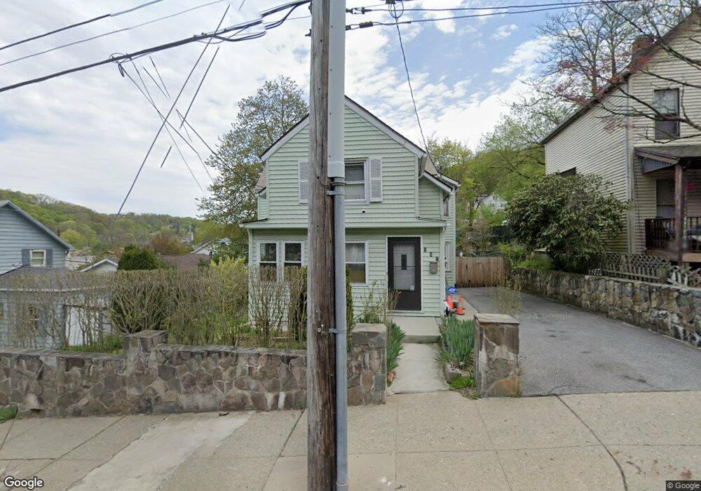
107 S Broad St Peekskill, NY 10566
Estimated Value: $335,000 - $575,000
Studio
--
Bath
--
Sq Ft
4,748
Sq Ft Lot
About This Home
This home is located at 107 S Broad St, Peekskill, NY 10566 and is currently estimated at $483,448. 107 S Broad St is a home located in Westchester County with nearby schools including Oakside School, Woodside Elementary School, and Hillcrest School.
Ownership History
Date
Name
Owned For
Owner Type
Purchase Details
Closed on
Sep 28, 2007
Sold by
Dunkley Wesley
Bought by
Dunkley Wesley and Dunkley Avis
Current Estimated Value
Purchase Details
Closed on
Oct 7, 2002
Sold by
Dunkley Wesley
Bought by
Dunkley Wesley and Dunkley Avis
Purchase Details
Closed on
Mar 27, 2001
Sold by
Black Carolyn D and Black Titus
Bought by
Dunkley Wesley
Home Financials for this Owner
Home Financials are based on the most recent Mortgage that was taken out on this home.
Original Mortgage
$132,019
Interest Rate
7.05%
Mortgage Type
FHA
Create a Home Valuation Report for This Property
The Home Valuation Report is an in-depth analysis detailing your home's value as well as a comparison with similar homes in the area
Home Values in the Area
Average Home Value in this Area
Purchase History
| Date | Buyer | Sale Price | Title Company |
|---|---|---|---|
| Dunkley Wesley | -- | The Judicial Title Ins Agenc | |
| Dunkley Wesley | -- | -- | |
| Dunkley Wesley | $89,000 | -- |
Source: Public Records
Mortgage History
| Date | Status | Borrower | Loan Amount |
|---|---|---|---|
| Previous Owner | Dunkley Wesley | $132,019 |
Source: Public Records
Tax History
| Year | Tax Paid | Tax Assessment Tax Assessment Total Assessment is a certain percentage of the fair market value that is determined by local assessors to be the total taxable value of land and additions on the property. | Land | Improvement |
|---|---|---|---|---|
| 2024 | $7,979 | $7,800 | $1,500 | $6,300 |
| 2023 | $7,824 | $7,800 | $1,500 | $6,300 |
| 2022 | $7,635 | $7,800 | $1,500 | $6,300 |
| 2021 | $9,164 | $7,800 | $1,500 | $6,300 |
| 2020 | $6,927 | $7,800 | $1,500 | $6,300 |
| 2019 | $6,531 | $7,800 | $1,500 | $6,300 |
| 2018 | $1,567 | $7,800 | $1,500 | $6,300 |
| 2017 | $0 | $7,800 | $1,500 | $6,300 |
| 2016 | $5,863 | $7,800 | $1,500 | $6,300 |
| 2015 | -- | $7,800 | $1,500 | $6,300 |
| 2014 | $2,798 | $7,800 | $1,500 | $6,300 |
| 2013 | $2,798 | $7,800 | $1,500 | $6,300 |
Source: Public Records
Map
Nearby Homes
- 1204 Main St
- 1463 Lincoln Terrace
- 108 Union Ave
- 956 Paulding St
- 1106 Orchard St
- 1605 Crompond Rd
- 150 Overlook Ave Unit 4L
- 150 Overlook Ave Unit 1S
- 150 Overlook Ave Unit 6L
- 334 Union Ave
- 1701 Crompond Rd Unit 6304
- 710 Main St
- 925 Constant Ave
- 1716A Main St
- 728 Frost Ave
- 6102 Villa at the Woods
- 9 N James St Unit B
- 5209 Villa at the Woods
- 1731 Maple Ave
- 8 N James St Unit G
- 109 S Broad St
- 103 S Broad St
- 1207 Lincoln Terrace
- 1209 Lincoln Terrace
- 111 S Broad St
- 1215 Lincoln Terrace
- 1214 Crompond Rd
- 1214 Crompond Rd Unit 1216
- 1217 Lincoln Terrace
- 1219 Lincoln Terrace
- 1109 Brown St Unit Demo
- 1109 Brown St Unit 4K
- 1109 Brown St Unit 7B
- 1109 Brown St Unit 4J
- 1109 Brown St Unit 3N
- 1109 Brown St Unit 5K
- 1109 Brown St Unit 2P
- 1109 Brown St Unit 5D
- 1109 Brown St Unit 6B
- 1109 Brown St Unit 7H
Your Personal Tour Guide
Ask me questions while you tour the home.