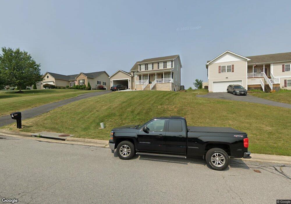
107 Shawn Cir Staunton, VA 24401
Estimated Value: $365,498 - $440,000
3
Beds
3
Baths
1,774
Sq Ft
$220/Sq Ft
Est. Value
About This Home
This home is located at 107 Shawn Cir, Staunton, VA 24401 and is currently estimated at $390,125, approximately $219 per square foot. 107 Shawn Cir is a home located in Staunton City with nearby schools including Ware Elementary School, Shelburne Middle School, and Staunton High School.
Ownership History
Date
Name
Owned For
Owner Type
Purchase Details
Closed on
Nov 26, 2014
Sold by
Neely Mark A and Fisher Charlotte A
Bought by
Fisher Charlotte A
Current Estimated Value
Home Financials for this Owner
Home Financials are based on the most recent Mortgage that was taken out on this home.
Original Mortgage
$135,000
Outstanding Balance
$103,637
Interest Rate
3.98%
Mortgage Type
Credit Line Revolving
Estimated Equity
$286,488
Create a Home Valuation Report for This Property
The Home Valuation Report is an in-depth analysis detailing your home's value as well as a comparison with similar homes in the area
Home Values in the Area
Average Home Value in this Area
Purchase History
| Date | Buyer | Sale Price | Title Company |
|---|---|---|---|
| Fisher Charlotte A | -- | Old Republic Natl Title Ins |
Source: Public Records
Mortgage History
| Date | Status | Borrower | Loan Amount |
|---|---|---|---|
| Open | Fisher Charlotte A | $135,000 |
Source: Public Records
Tax History Compared to Growth
Tax History
| Year | Tax Paid | Tax Assessment Tax Assessment Total Assessment is a certain percentage of the fair market value that is determined by local assessors to be the total taxable value of land and additions on the property. | Land | Improvement |
|---|---|---|---|---|
| 2025 | $3,062 | $336,440 | $61,840 | $274,600 |
| 2024 | $2,795 | $314,000 | $50,000 | $264,000 |
| 2023 | $2,795 | $314,000 | $50,000 | $264,000 |
| 2022 | $2,272 | $247,000 | $45,000 | $202,000 |
| 2021 | $2,272 | $247,000 | $45,000 | $202,000 |
| 2020 | $2,198 | $231,400 | $45,000 | $186,400 |
| 2019 | $2,198 | $231,400 | $45,000 | $186,400 |
| 2018 | $2,153 | $222,000 | $45,000 | $177,000 |
| 2017 | $2,153 | $222,000 | $45,000 | $177,000 |
| 2016 | $1,964 | $206,700 | $40,000 | $166,700 |
| 2015 | $1,964 | $206,700 | $40,000 | $166,700 |
| 2014 | $1,909 | $200,900 | $40,000 | $160,900 |
Source: Public Records
Map
Nearby Homes
- 304 Burnley Dr
- 72 Hudson Ave
- 204 Burnley Dr
- 316 Thomas St
- 109 Fox Hill Dr
- 418 Cardinal St
- 2311 Morris Mill Rd
- 812 Hillcrest Dr
- 418 G St
- Lot 2B 4.8 acre Hillcrest Dr
- 1 ACRE Hillcrest Dr
- CABRAL Plan at Bell Creek
- Pine Plan at Bell Creek
- Penwell Plan at Bell Creek
- Macon Plan at Bell Creek
- 422 Grubert Ave
- 418 Grubert Ave
- 416 Grubert Ave
- 404 F St
- 2508 S Sharlaine Dr