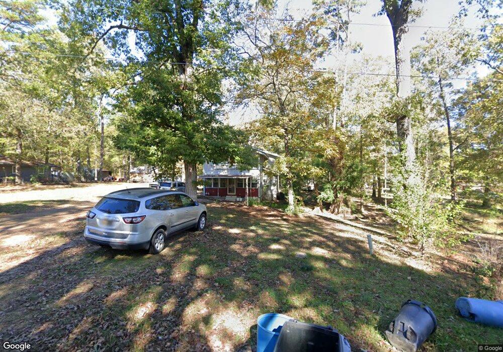
107 Tepus Ln Brandon, MS 39042
Estimated Value: $217,000 - $290,000
3
Beds
2
Baths
2,282
Sq Ft
$110/Sq Ft
Est. Value
About This Home
This home is located at 107 Tepus Ln, Brandon, MS 39042 and is currently estimated at $250,409, approximately $109 per square foot. 107 Tepus Ln is a home located in Rankin County with nearby schools including McLaurin Elementary School.
Ownership History
Date
Name
Owned For
Owner Type
Purchase Details
Closed on
Apr 21, 2022
Sold by
Frazler Andie D
Bought by
Stouder John R and Strouder Holly W
Current Estimated Value
Home Financials for this Owner
Home Financials are based on the most recent Mortgage that was taken out on this home.
Original Mortgage
$145,000
Outstanding Balance
$135,369
Interest Rate
3.85%
Mortgage Type
New Conventional
Estimated Equity
$115,040
Purchase Details
Closed on
Dec 14, 2021
Sold by
Frazier Annie Doris Staggs
Bought by
Frazier Annie D
Create a Home Valuation Report for This Property
The Home Valuation Report is an in-depth analysis detailing your home's value as well as a comparison with similar homes in the area
Home Values in the Area
Average Home Value in this Area
Purchase History
| Date | Buyer | Sale Price | Title Company |
|---|---|---|---|
| Stouder John R | -- | None Listed On Document | |
| Frazier Annie D | -- | Miller Tammy N |
Source: Public Records
Mortgage History
| Date | Status | Borrower | Loan Amount |
|---|---|---|---|
| Open | Stouder John R | $145,000 |
Source: Public Records
Tax History Compared to Growth
Tax History
| Year | Tax Paid | Tax Assessment Tax Assessment Total Assessment is a certain percentage of the fair market value that is determined by local assessors to be the total taxable value of land and additions on the property. | Land | Improvement |
|---|---|---|---|---|
| 2024 | $877 | $11,029 | $0 | $0 |
| 2023 | $1,124 | $7,120 | $0 | $0 |
| 2022 | $1,124 | $10,680 | $0 | $0 |
| 2021 | $1,124 | $10,680 | $0 | $0 |
| 2020 | $1,124 | $10,680 | $0 | $0 |
| 2019 | $0 | $6,229 | $0 | $0 |
| 2018 | $0 | $6,229 | $0 | $0 |
| 2017 | $0 | $6,229 | $0 | $0 |
| 2016 | $0 | $6,286 | $0 | $0 |
| 2015 | -- | $6,286 | $0 | $0 |
| 2014 | -- | $6,286 | $0 | $0 |
| 2013 | -- | $6,286 | $0 | $0 |
Source: Public Records
Map
Nearby Homes
- 1392 Old Lake Rd
- 146 Lady Marian Rd
- 112 Sir Richard Rd
- 110 Sir Richard Rd
- 1178 Sanctuary Dr
- 221 New Haven Ln
- 315 Stronghold Dr
- 215 New Haven Ln
- 223 New Haven Ln
- 225 New Haven Ln
- 317 Stronghold Dr
- 219 New Haven Ln
- 213 New Haven Ln
- 307 Stronghold Dr
- 217 New Haven Ln
- 309 Stronghold Dr
- 0 Nottingham Rd
- 127 Canterbury Rd
- 124 Campbell Cove
- 1622 Old Lake Rd
- 111 Tepus Ln
- 405 Robinhood Trail
- 407 Robinhood Trail
- 415 Robinhood Tr
- 434 Robinhood Trail
- 423 Robinhood Trail
- 415 Robinhood Trail
- 443 Robinhood Trail
- 121 Tepus Ln
- 385 Robinhood Trail
- 101 King Richard Rd
- 151 King Richard Rd
- 0 Sir Guy Ln
- 131 Lester Dr
- 0 London Town Rd Unit 4031282
- 0 Sherwood Ln Unit 1247456
- 0 Sherwood Ln Unit 247456
- 350 Robinhood Trail
- 107 King Richard Rd
- 106 Sherwood Ln