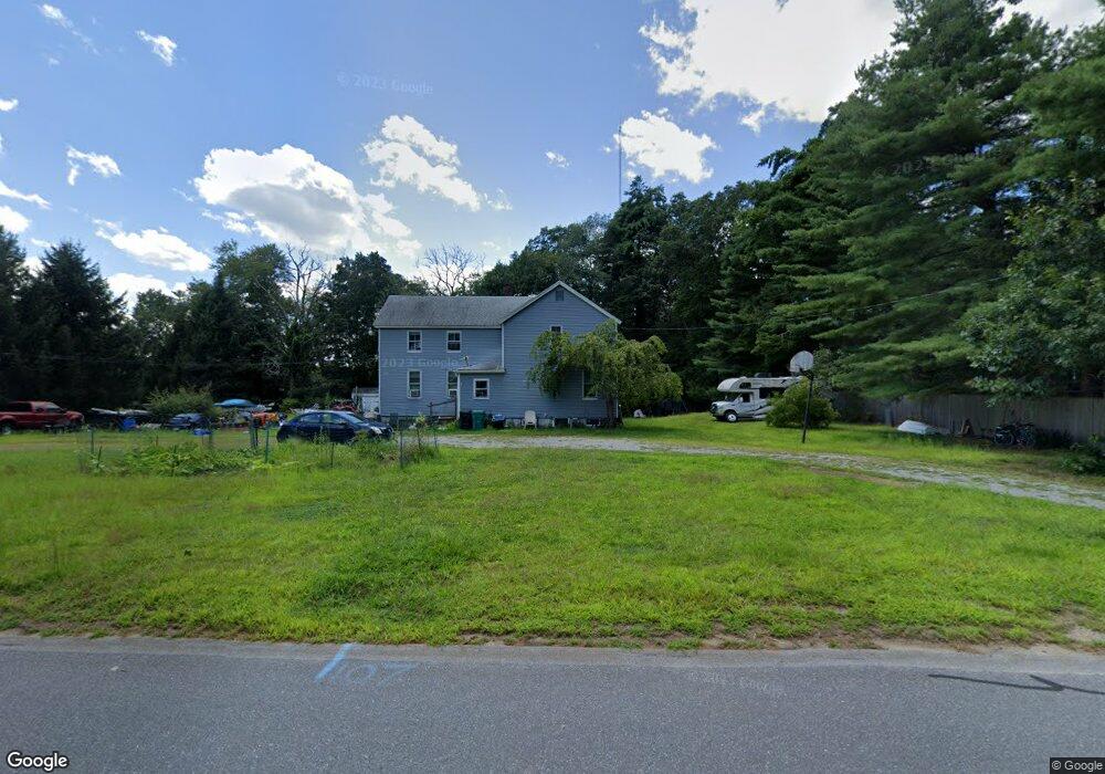
107 White Pond Rd Hudson, MA 01749
Estimated Value: $611,000 - $772,000
8
Beds
2
Baths
3,096
Sq Ft
$223/Sq Ft
Est. Value
About This Home
This home is located at 107 White Pond Rd, Hudson, MA 01749 and is currently estimated at $688,930, approximately $222 per square foot. 107 White Pond Rd is a home located in Middlesex County with nearby schools including David J. Quinn Middle School and Hudson High School.
Ownership History
Date
Name
Owned For
Owner Type
Purchase Details
Closed on
Aug 17, 2007
Sold by
Vettrus Gail S and Vettrus Kenneth C
Bought by
Healy Fae M and Healy Patrick C
Current Estimated Value
Home Financials for this Owner
Home Financials are based on the most recent Mortgage that was taken out on this home.
Original Mortgage
$265,000
Outstanding Balance
$167,871
Interest Rate
6.67%
Mortgage Type
Purchase Money Mortgage
Estimated Equity
$521,059
Create a Home Valuation Report for This Property
The Home Valuation Report is an in-depth analysis detailing your home's value as well as a comparison with similar homes in the area
Home Values in the Area
Average Home Value in this Area
Purchase History
| Date | Buyer | Sale Price | Title Company |
|---|---|---|---|
| Healy Fae M | $331,250 | -- | |
| Healy Fae M | $331,250 | -- |
Source: Public Records
Mortgage History
| Date | Status | Borrower | Loan Amount |
|---|---|---|---|
| Open | Healy Fae M | $265,000 | |
| Closed | Healy Fae M | $265,000 | |
| Previous Owner | Healy Fae M | $20,802 |
Source: Public Records
Tax History Compared to Growth
Tax History
| Year | Tax Paid | Tax Assessment Tax Assessment Total Assessment is a certain percentage of the fair market value that is determined by local assessors to be the total taxable value of land and additions on the property. | Land | Improvement |
|---|---|---|---|---|
| 2025 | $8,447 | $608,600 | $244,400 | $364,200 |
| 2024 | $7,883 | $563,100 | $222,200 | $340,900 |
| 2023 | $8,094 | $554,400 | $213,500 | $340,900 |
| 2022 | $7,104 | $447,900 | $193,900 | $254,000 |
| 2021 | $6,845 | $412,600 | $184,800 | $227,800 |
| 2020 | $6,471 | $389,600 | $181,300 | $208,300 |
| 2019 | $6,543 | $384,200 | $181,300 | $202,900 |
| 2018 | $4,607 | $366,600 | $172,600 | $194,000 |
| 2017 | $5,807 | $331,800 | $164,400 | $167,400 |
| 2016 | $5,213 | $301,500 | $164,400 | $137,100 |
| 2015 | $5,107 | $295,700 | $159,400 | $136,300 |
| 2014 | $4,850 | $278,400 | $139,800 | $138,600 |
Source: Public Records
Map
Nearby Homes
- 786 Main St
- 788 Main St
- 14 Old County Rd Unit 21
- 10 Shoreline Dr Unit 12
- 10 Old County Rd Unit 19
- 8 Shoreline Dr Unit 11
- 3 Shore Line Dr Unit 15
- 1 Town Line Rd Unit 18
- Stockbridge South Shore Plan at Lakemont by Toll Brothers
- Dickinson Plan at Lakemont by Toll Brothers
- Copley Plan at Lakemont by Toll Brothers
- Stockbridge Plan at Lakemont by Toll Brothers
- 3 Town Line Rd Unit 17
- 4 Gately Ave
- 8 Town Line Rd Unit 4
- 10 Town Line Rd Unit 5
- 12 Town Line Rd Unit 6
- 3 Lakeside Ave
- 12 Temple Ave
- 51 Hale Rd
- 115 White Pond Rd
- 101 White Pond Rd
- 121 White Pond Rd
- 95 White Pond Rd
- 127 White Pond Rd
- 81 White Pond Rd
- 133 White Pond Rd
- 75 White Pond Rd
- 69 White Pond Rd
- 139 White Pond Rd
- 145 White Pond Rd
- 67 White Pond Rd
- 159 White Pond Rd
- 169 White Pond Rd
- 171 White Pond Rd
- 175 White Pond Rd
- 181 White Pond Rd
- 168 White Pond Rd
- 174 White Pond Rd
- 189 White Pond Rd