1070 Route 63 Westmoreland, NH 03467
Estimated Value: $418,000 - $517,315
3
Beds
2
Baths
2,203
Sq Ft
$216/Sq Ft
Est. Value
About This Home
This home is located at 1070 Route 63, Westmoreland, NH 03467 and is currently estimated at $476,829, approximately $216 per square foot. 1070 Route 63 is a home located in Cheshire County with nearby schools including Mayland Early College High School and Keene High School.
Create a Home Valuation Report for This Property
The Home Valuation Report is an in-depth analysis detailing your home's value as well as a comparison with similar homes in the area
Home Values in the Area
Average Home Value in this Area
Tax History Compared to Growth
Tax History
| Year | Tax Paid | Tax Assessment Tax Assessment Total Assessment is a certain percentage of the fair market value that is determined by local assessors to be the total taxable value of land and additions on the property. | Land | Improvement |
|---|---|---|---|---|
| 2024 | $6,624 | $287,236 | $68,836 | $218,400 |
| 2023 | $6,120 | $287,469 | $69,069 | $218,400 |
| 2022 | $5,911 | $287,627 | $69,227 | $218,400 |
| 2021 | $5,868 | $287,661 | $69,261 | $218,400 |
| 2020 | $6,090 | $239,765 | $57,065 | $182,700 |
| 2019 | $6,440 | $239,834 | $57,134 | $182,700 |
| 2018 | $6,111 | $239,834 | $57,134 | $182,700 |
| 2017 | $5,992 | $239,697 | $56,997 | $182,700 |
| 2016 | $5,950 | $239,621 | $56,921 | $182,700 |
| 2015 | $5,600 | $256,780 | $62,180 | $194,600 |
| 2014 | $5,592 | $256,772 | $62,172 | $194,600 |
| 2012 | $5,429 | $256,947 | $94,047 | $162,900 |
Source: Public Records
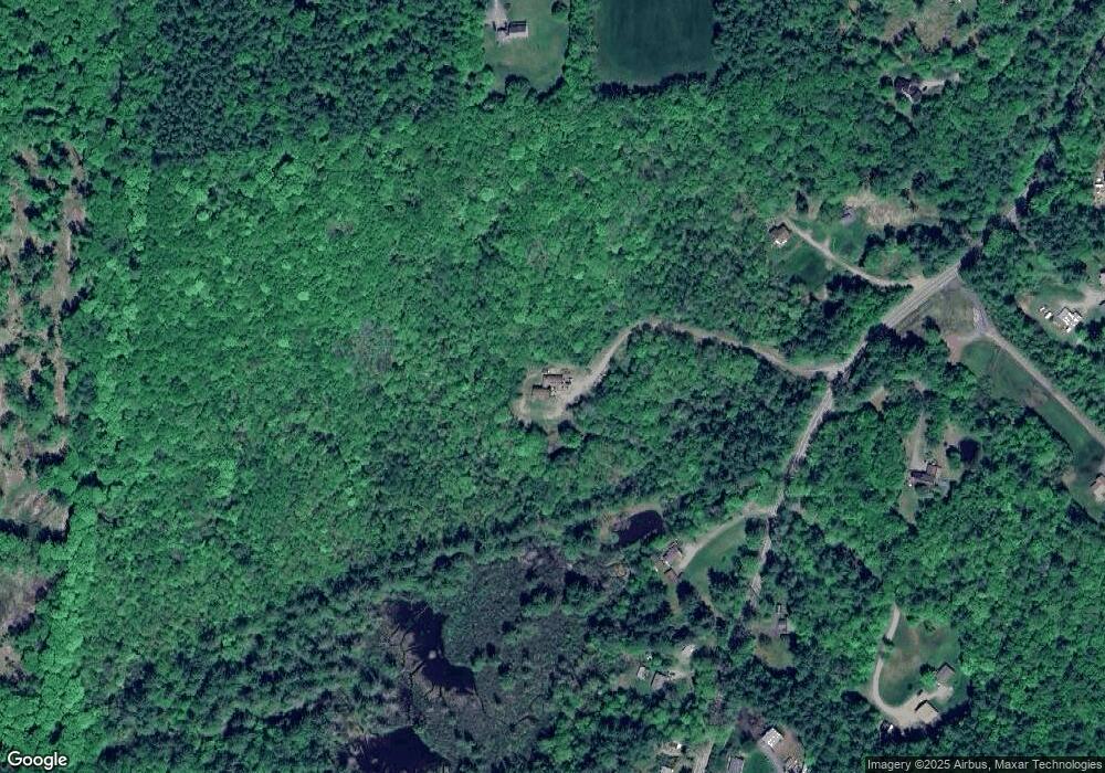
Map
Nearby Homes
- 85 Foley Rd
- 36 Canal St
- 601 River Rd S
- 43 Westmoreland Rd
- 563 N Shore Rd
- 000 S Village Rd Unit 13
- 48 Church St
- 123 Poocham Rd
- 1123 River Rd
- 821 Route 9
- 21 Valley Park Dr
- 0 Stow Dr Unit 4929741
- 00 S Pine Banks Rd
- 14 Hurricane Rd
- 119 Main St
- 13 Kimball Hill
- 136 Cross Rd
- 30 Farr Rd
- 62 Westminster Rd
- 4 Signal Pine Rd