1072 Shell Point Rd NE Townsend, GA 31331
Estimated Value: $549,407 - $818,000
4
Beds
5
Baths
2,723
Sq Ft
$237/Sq Ft
Est. Value
About This Home
This home is located at 1072 Shell Point Rd NE, Townsend, GA 31331 and is currently estimated at $646,102, approximately $237 per square foot. 1072 Shell Point Rd NE is a home with nearby schools including Todd Grant Elementary School, McIntosh County Middle School, and McIntosh County Academy.
Ownership History
Date
Name
Owned For
Owner Type
Purchase Details
Closed on
Sep 24, 2024
Sold by
Reddick Alan A
Bought by
Reddick Christine D
Current Estimated Value
Purchase Details
Closed on
Dec 21, 2012
Sold by
Tippins Bank
Bought by
Reddick Alan A and Reddick Christine D
Home Financials for this Owner
Home Financials are based on the most recent Mortgage that was taken out on this home.
Original Mortgage
$255,290
Interest Rate
3.25%
Mortgage Type
FHA
Purchase Details
Closed on
Mar 30, 2012
Sold by
Tanner Charles Quincy
Bought by
Tippins Bank
Purchase Details
Closed on
Nov 5, 2007
Sold by
Dcr Properties Llc
Bought by
Tanner Charles Q
Create a Home Valuation Report for This Property
The Home Valuation Report is an in-depth analysis detailing your home's value as well as a comparison with similar homes in the area
Home Values in the Area
Average Home Value in this Area
Purchase History
| Date | Buyer | Sale Price | Title Company |
|---|---|---|---|
| Reddick Christine D | $499,200 | -- | |
| Reddick Alan A | $260,000 | -- | |
| Tippins Bank | -- | -- | |
| Tanner Charles Q | $130,000 | -- |
Source: Public Records
Mortgage History
| Date | Status | Borrower | Loan Amount |
|---|---|---|---|
| Previous Owner | Reddick Alan A | $255,290 |
Source: Public Records
Tax History Compared to Growth
Tax History
| Year | Tax Paid | Tax Assessment Tax Assessment Total Assessment is a certain percentage of the fair market value that is determined by local assessors to be the total taxable value of land and additions on the property. | Land | Improvement |
|---|---|---|---|---|
| 2024 | $4,449 | $205,680 | $13,000 | $192,680 |
| 2023 | $4,464 | $199,680 | $13,000 | $186,680 |
| 2022 | $4,464 | $168,640 | $13,000 | $155,640 |
| 2021 | $3,753 | $131,320 | $13,000 | $118,320 |
| 2020 | $3,763 | $130,200 | $13,000 | $117,200 |
| 2019 | $3,511 | $128,400 | $13,000 | $115,400 |
| 2018 | $3,412 | $128,400 | $13,000 | $115,400 |
| 2017 | $3,425 | $114,440 | $20,000 | $94,440 |
| 2016 | $3,140 | $114,440 | $20,000 | $94,440 |
| 2015 | $3,506 | $128,868 | $12,000 | $116,868 |
| 2014 | $4,259 | $156,868 | $40,000 | $116,868 |
Source: Public Records
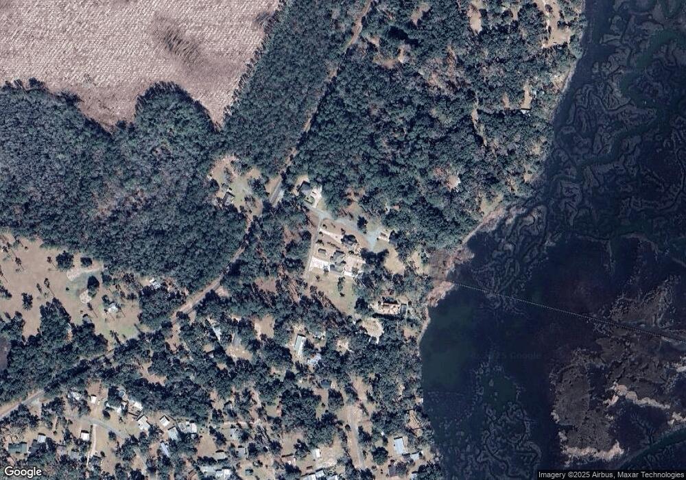
Map
Nearby Homes
- 3558 Belle Hammock Rd NE
- 1321 Shell Point Rd NE
- 1106 Shell Point Rd NE
- 1065 Fiddler Trace
- 1215 Fiddler Trace NE
- 1356 Fiddler Trace NE
- 3538 Belle Hammock Rd
- 1111 Fiddler Crab Dr
- 1182 Fiddler Crab Dr
- 1022 Wallace Drive North E
- 1046 Wallace Drive North E
- 0 Belle Hammock Rd NE Unit SA341299
- Lot 231 Coopers Landing Dr NE
- 3217 Coopers Point Dr NE
- 1515 Ford Blvd NE
- LOT 309 Cooper's Point Dr NE
- 3308 Fair Hope Rd NE
- 423 Coopers Landing Dr
- 100 White Dr
- 101 White Dr
- 1033 Fc Randall Dr NE
- 0 Shell Point Cove Rd Unit 75623
- 9 Shell Point Cove Rd
- 12 Fc Randall Dr NE
- 1105 Fc Randall Dr NE
- 13 Fc Randall Dr NE
- 1013 Fc Randall Dr NE
- 1017 Fc Randall Dr NE
- 1039 Shell Point Cove Rd NE
- 15 Shell Point Cove Rd
- 14 Shell Point Cove Rd
- 19 Shell Point Cove Rd
- 8 Shell Point Cove Rd
- 12 Shell Point Cove Rd
- 17 Shell Point Cove Rd
- 16 Shell Point Cove Rd
- 13 Shell Point Cove Rd
- 10 Shell Point Cove Rd
- 20 Shell Point Cove Rd
- 17 Fc Randall Dr