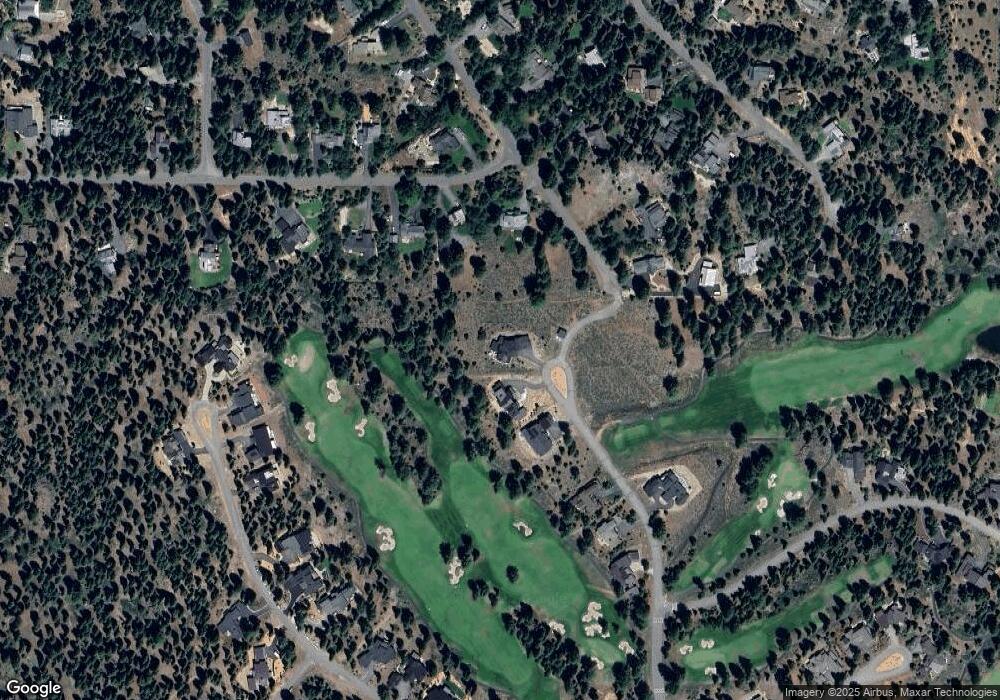
10725 Carson Range Ct Truckee, CA 96161
South Truckee NeighborhoodEstimated Value: $3,436,000 - $3,851,437
4
Beds
4
Baths
3,558
Sq Ft
$1,007/Sq Ft
Est. Value
About This Home
This home is located at 10725 Carson Range Ct, Truckee, CA 96161 and is currently estimated at $3,582,146, approximately $1,006 per square foot. 10725 Carson Range Ct is a home located in Placer County with nearby schools including Truckee Elementary School, Alder Creek Middle School, and Tahoe Truckee High School.
Ownership History
Date
Name
Owned For
Owner Type
Purchase Details
Closed on
May 2, 2017
Sold by
New Martis Partners Llc
Bought by
Gambelin Michael Angelo and Gambelin Laura Braccini
Current Estimated Value
Home Financials for this Owner
Home Financials are based on the most recent Mortgage that was taken out on this home.
Original Mortgage
$200,000
Outstanding Balance
$167,004
Interest Rate
4.25%
Mortgage Type
Adjustable Rate Mortgage/ARM
Estimated Equity
$3,415,142
Create a Home Valuation Report for This Property
The Home Valuation Report is an in-depth analysis detailing your home's value as well as a comparison with similar homes in the area
Home Values in the Area
Average Home Value in this Area
Purchase History
| Date | Buyer | Sale Price | Title Company |
|---|---|---|---|
| Gambelin Michael Angelo | $415,000 | Old Republic Title Company |
Source: Public Records
Mortgage History
| Date | Status | Borrower | Loan Amount |
|---|---|---|---|
| Open | Gambelin Michael Angelo | $200,000 |
Source: Public Records
Tax History
| Year | Tax Paid | Tax Assessment Tax Assessment Total Assessment is a certain percentage of the fair market value that is determined by local assessors to be the total taxable value of land and additions on the property. | Land | Improvement |
|---|---|---|---|---|
| 2025 | $31,482 | $2,895,888 | $481,640 | $2,414,248 |
| 2023 | $31,482 | $2,783,439 | $462,939 | $2,320,500 |
| 2022 | $14,623 | $1,228,862 | $453,862 | $775,000 |
| 2021 | $6,950 | $582,963 | $444,963 | $138,000 |
| 2020 | $5,477 | $440,401 | $440,401 | $0 |
| 2019 | $5,499 | $431,766 | $431,766 | $0 |
| 2018 | $5,297 | $423,300 | $423,300 | $0 |
| 2017 | $1,828 | $107,098 | $107,098 | $0 |
| 2016 | $1,806 | $104,999 | $104,999 | $0 |
| 2015 | $1,762 | $103,422 | $103,422 | $0 |
Source: Public Records
Map
Nearby Homes
- 9270 Brae Rd
- 9309 Gaston Ct
- 9195 Tarn Cir
- 9348 Nine Bark Rd
- 9308 Nine Bark Rd
- 9188 Tarn Cir
- 9337 Heartwood Dr
- 10644 Talus Ct
- 9090 Horned Lark Ct
- 10645 Carson Range Rd
- 9264 Heartwood Dr
- 10633 Carson Range Rd
- 10136 Sagebrush Ct
- 10235 Valmont Trail
- 10020 Chaparral Ct
- 10209 Modane Place
- 10613 Carson Range Rd
- 9240 Heartwood Dr
- 10601 Carson Range Rd
- 10200 Valmont Trail
- 11195 Palisades Dr
- 11175 Palisades Dr
- 10717 Carson Range Ct Unit 10717 carson range r
- 10721 Carson Range Ct
- 11210 Palisades Dr
- 10709 Carson Range Rd
- 11145 Thelin Dr
- 11155 Thelin Dr
- 11190 Palisades Dr
- 11170 Palisades Dr
- 10706 Carson Range Rd
- 10705 Carson Range Rd
- 11165 Thelin Dr
- 11150 Palisades Dr
- 11150 Thelin Dr
- 11160 Rancho View Ct
- 10701 Carson Range Rd
- 11130 Palisades Dr
- 11140 Rancho View Ct
- 11130 Rancho View Ct
