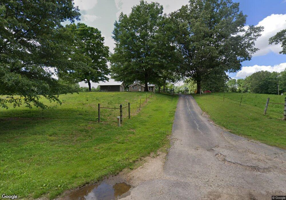
1073 Simpson Rd Martin, TN 38237
Estimated Value: $159,000 - $208,658
--
Bed
1
Bath
896
Sq Ft
$197/Sq Ft
Est. Value
About This Home
This home is located at 1073 Simpson Rd, Martin, TN 38237 and is currently estimated at $176,915, approximately $197 per square foot. 1073 Simpson Rd is a home located in Weakley County.
Ownership History
Date
Name
Owned For
Owner Type
Purchase Details
Closed on
Oct 7, 2016
Sold by
Cocking Walter W
Bought by
Jahr Jaime Fawn and Jahr Matthew
Current Estimated Value
Purchase Details
Closed on
Aug 12, 2005
Sold by
Kenneth Dykes
Bought by
Fawn Jahr Jaime
Home Financials for this Owner
Home Financials are based on the most recent Mortgage that was taken out on this home.
Original Mortgage
$74,385
Interest Rate
5.57%
Mortgage Type
Cash
Purchase Details
Closed on
Sep 20, 1989
Bought by
Dykes Kenneth H and Dykes Patricia L
Create a Home Valuation Report for This Property
The Home Valuation Report is an in-depth analysis detailing your home's value as well as a comparison with similar homes in the area
Home Values in the Area
Average Home Value in this Area
Purchase History
| Date | Buyer | Sale Price | Title Company |
|---|---|---|---|
| Jahr Jaime Fawn | -- | -- | |
| Fawn Jahr Jaime | $78,300 | -- | |
| Dykes Kenneth H | $27,500 | -- |
Source: Public Records
Mortgage History
| Date | Status | Borrower | Loan Amount |
|---|---|---|---|
| Previous Owner | Dykes Kenneth H | $74,385 |
Source: Public Records
Tax History Compared to Growth
Tax History
| Year | Tax Paid | Tax Assessment Tax Assessment Total Assessment is a certain percentage of the fair market value that is determined by local assessors to be the total taxable value of land and additions on the property. | Land | Improvement |
|---|---|---|---|---|
| 2024 | $434 | $31,700 | $9,475 | $22,225 |
| 2023 | $434 | $31,700 | $9,475 | $22,225 |
| 2022 | $387 | $19,625 | $7,525 | $12,100 |
| 2021 | $387 | $19,625 | $7,525 | $12,100 |
| 2020 | $387 | $19,625 | $7,525 | $12,100 |
| 2019 | $366 | $19,625 | $7,525 | $12,100 |
| 2018 | $366 | $18,575 | $6,475 | $12,100 |
| 2017 | $367 | $17,225 | $5,175 | $12,050 |
| 2016 | $364 | $23,950 | $0 | $0 |
| 2015 | $364 | $17,095 | $0 | $0 |
| 2014 | $364 | $17,095 | $0 | $0 |
Source: Public Records
Map
Nearby Homes
- 5064 Tennessee 118
- 2540 Ralston Rd
- 2021 Hyndsver Rd
- 471 Pierce Rd
- 2096 Lee Rd
- 3060 Bible Union Rd
- 0 Buck Mason Rd Unit Map 015, Parcel 007.
- 0 Fancy Rd
- 7991 Tennessee 118
- 2001 Hyndsver Rd
- 141 Oak St
- 297 Stover Rd
- 4500 Austin Springs Rd
- 112 Landrum Dr
- 380 State Line Rd
- 1217 Hyndsver Rd
- 137 Haygood Rd
- 12276 Highway 45
- 0 Gardiner Rd
- 0 Hamilton Dr