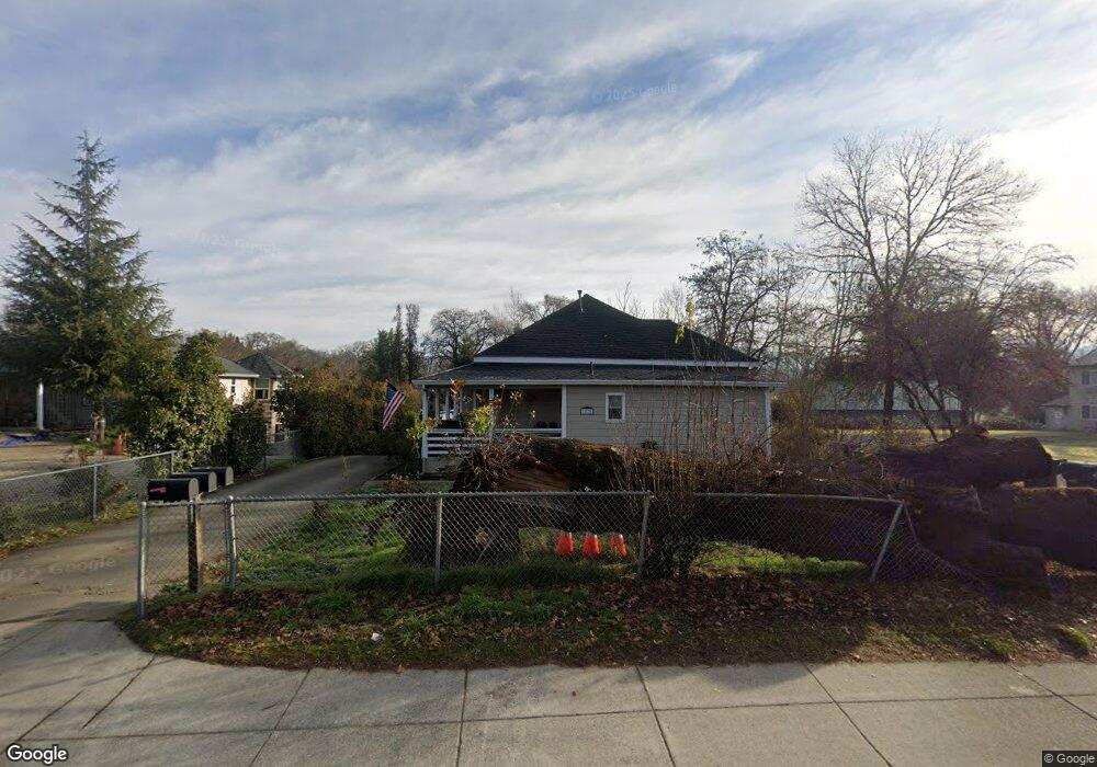
1075 S Main St Willits, CA 95490
Estimated Value: $426,641
Studio
6
Baths
2,550
Sq Ft
$167/Sq Ft
Est. Value
About This Home
This home is located at 1075 S Main St, Willits, CA 95490 and is currently estimated at $426,641, approximately $167 per square foot. 1075 S Main St is a home located in Mendocino County with nearby schools including Blosser Lane Elementary School, Brookside Elementary School, and Baechtel Grove Middle School.
Ownership History
Date
Name
Owned For
Owner Type
Purchase Details
Closed on
May 17, 2024
Sold by
Hampton Charles and Hampton Marvin C
Bought by
Hampton Rentals Llc
Current Estimated Value
Purchase Details
Closed on
Jul 31, 2003
Sold by
Hopkins Robert D and Hopkins Melody J
Bought by
Hampton Charles and Hampton Diana
Home Financials for this Owner
Home Financials are based on the most recent Mortgage that was taken out on this home.
Original Mortgage
$208,000
Interest Rate
5.17%
Mortgage Type
Seller Take Back
Create a Home Valuation Report for This Property
The Home Valuation Report is an in-depth analysis detailing your home's value as well as a comparison with similar homes in the area
Home Values in the Area
Average Home Value in this Area
Purchase History
| Date | Buyer | Sale Price | Title Company |
|---|---|---|---|
| Hampton Rentals Llc | -- | None Listed On Document | |
| Hampton Charles | $235,000 | First American Title Co |
Source: Public Records
Mortgage History
| Date | Status | Borrower | Loan Amount |
|---|---|---|---|
| Previous Owner | Hampton Charles | $208,000 |
Source: Public Records
Tax History
| Year | Tax Paid | Tax Assessment Tax Assessment Total Assessment is a certain percentage of the fair market value that is determined by local assessors to be the total taxable value of land and additions on the property. | Land | Improvement |
|---|---|---|---|---|
| 2025 | $7,093 | $334,103 | $120,842 | $213,261 |
| 2023 | $7,093 | $321,131 | $116,150 | $204,981 |
| 2022 | $6,535 | $314,835 | $113,873 | $200,962 |
| 2021 | $6,509 | $308,663 | $111,641 | $197,022 |
| 2020 | $6,417 | $305,505 | $110,502 | $195,003 |
| 2019 | $6,413 | $299,515 | $108,335 | $191,180 |
| 2018 | $5,974 | $293,642 | $106,211 | $187,431 |
| 2017 | $5,738 | $287,884 | $104,128 | $183,756 |
| 2016 | $5,560 | $282,240 | $102,087 | $180,153 |
| 2015 | $5,506 | $278,000 | $100,553 | $177,447 |
| 2014 | $5,466 | $272,556 | $98,584 | $173,972 |
Source: Public Records
Map
Nearby Homes
- 1051 S Main St
- 0 Poplar Ave Unit 324037613
- 1242 Poplar Ave
- 1407 Brothers Ln
- 454 Della Ave
- 372 S Lenore Ave
- 490 Della Ave
- 316 S Main St
- 1581 S Main St
- 308 Coast St
- 350 Creekside Dr
- 21441 Pineview Dr
- 0 Catherine Ln
- 84 School St
- 1750 S Main St Unit 37
- 252 Margie Dr
- 25331 Sherwood Rd
- 25201 Sherwood Rd
- 450 Grove St
- 1655 Hilltop Dr
- 1041 S Main St
- 1041 S Main St
- 1155 S Main St
- 56 Madrone St
- 804 Railroad Ave
- 395 State Hwy 20
- 1048 Poplar Ave
- 1054 Poplar Ave
- 1050 Poplar Ave
- 1046 Poplar Ave
- 796 Railroad Ave
- 1052 Poplar Ave
- 1 Madrone St
- 1044 Poplar Ave
- 1090 Poplar Ave
- 871 S Main St
- 798 Railroad Ave
- 65 Madrone St
- 191 Walnut St
- 1236 S Main St
Your Personal Tour Guide
Ask me questions while you tour the home.